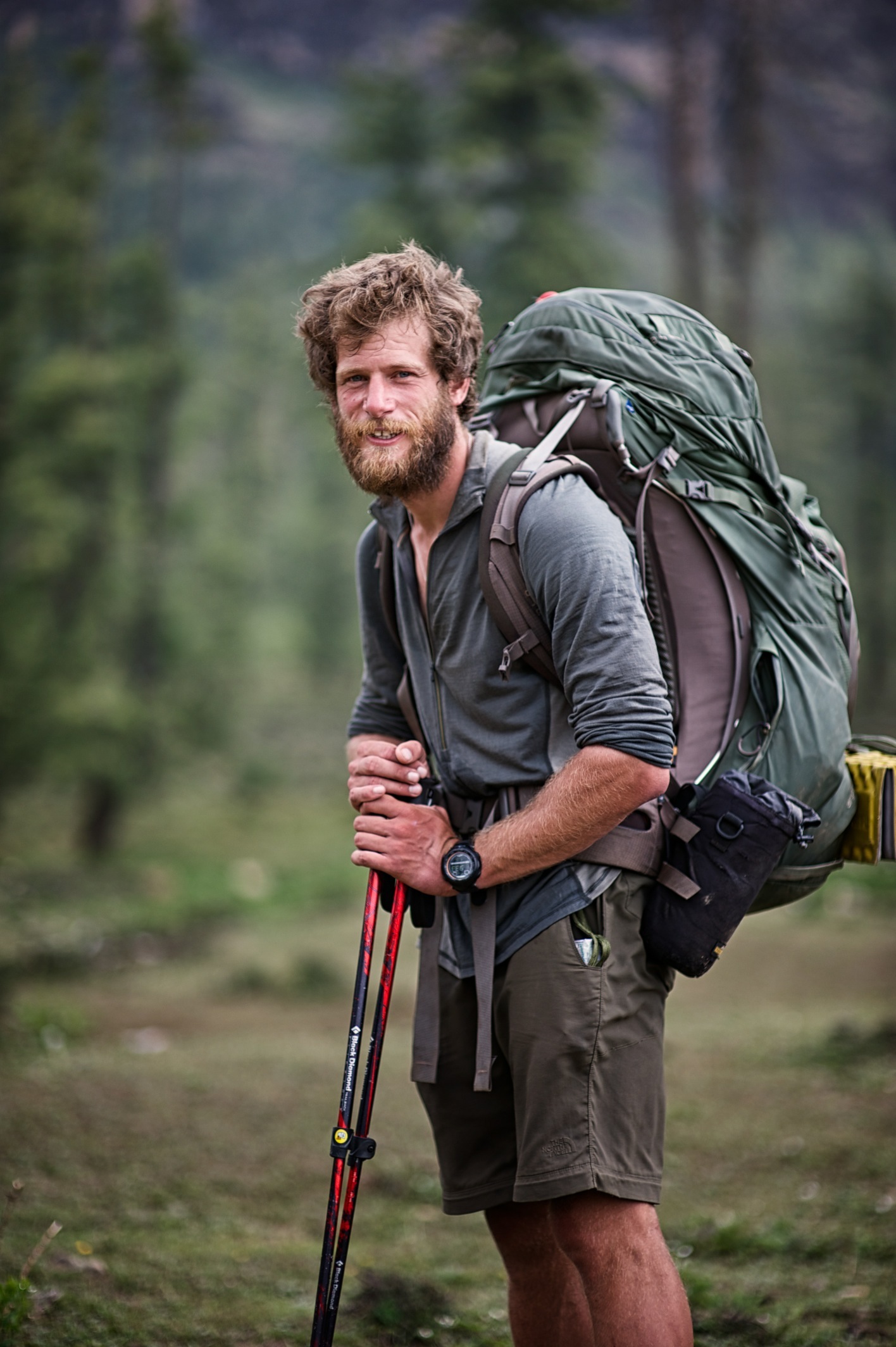
Home
Click here to read my daily blog and see the exact route I took which was mapped by my Yellowbrick GPS Tracking System
Interview with the Pursuit Zone
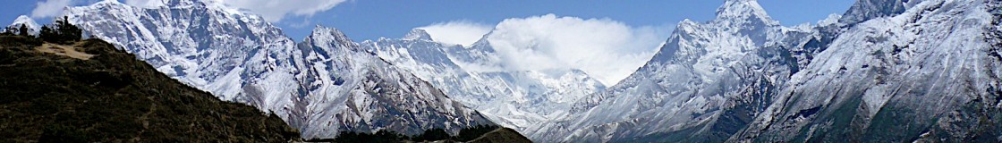
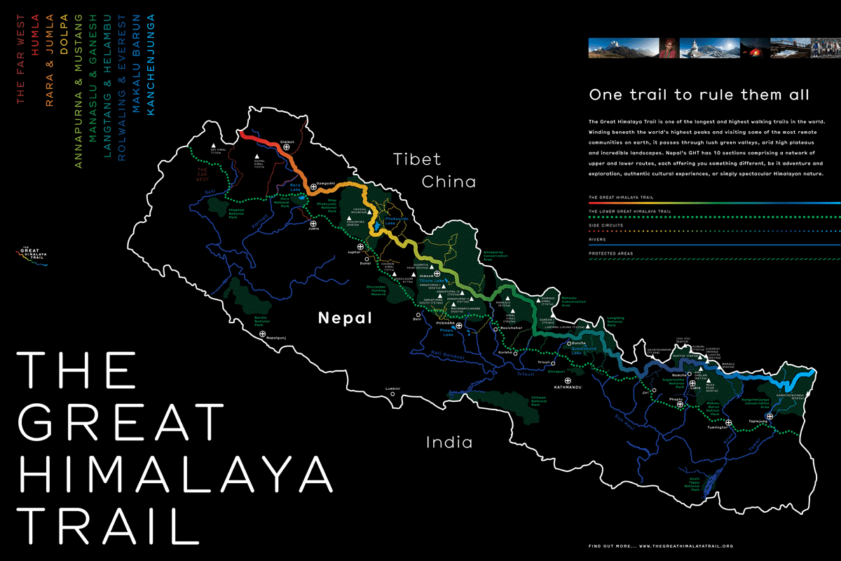
Between 1 April – 14 June 2013 I embarked on my 75 day, 1650km (including getting to and from the trail) solo trek from east to west Nepal along the Great Himalaya Trail (GHT). The majority of the trek was along the Upper GHT but where this was not possible due to technical sections or bad weather, I continued west on the Lower GHT. The upper sections completed were; Kanchenjunga, Sagamatha, Rolwaling (guide used for 1 day to cross the Tashi Labsta 5760m), Helambu, Ganesh, Manasalu, Annapurna, Lower Dolpa, Lake Rara, Mugu and Humla.
After taking 8.5 days to reach the start line at Kanchenjunga Base Camp (5130m), I started my 1480km adventure west to Hilsa, Humla on 9 April 2013. 64 days 2 hour and 35 minutes later on 12 June 2013 I reached the village of Hilsa to become the first person to walk solo across the GHT. Even though this was the finish line I still had a further 2 days walking (72km) back to Simikot, the District Centre of Humla, for my flight out of the moutons.
The whole expedition was a phenomenal and very privileged experience. My route went through some of the worlds most amazing and difficult landscapes that the world has to offer. I trekked through the Himalayan foothills, forests, jungle, varying villages and the Himalayas during all kinds of weather conditions. In total I walked over 13 x 5000+m passes and reached 2 x 5000+ base camps.
Throughout my time on the trail I completed a number of tasks too. I inspected a number of old school projects constructed by the Gurkha Welfare Scheme (GWS) and old Kadoorie Agricultural Aid Association (KAAA) projects such as bridges and micro-hydro. Additionally, I also identified potential future projects for KAAA, ranging from solar, micro-hydro and bridges to individual aid for the severely disabled. Throughout I also tried to promote the GHT and raise money for two very worth while military charities, the Gurkha Welfare Trust (GWT) and the Soldiers Sailors Airmen Families Association (SSAFA) Forces Help.
This trek would not have been able to happen it was not for the hard work and persistence from Khil Thapa from Gurkha Adventures and key members from British Gurkhas Nepal, GWS and KAAA. I would also like to say thank you to all of the team at the Great Himalaya Trail Development Program for their kind hospitality on completion of my trek and carefully listening to my recommendations for trail improvements.
Photo Compilation of East2WestNepal
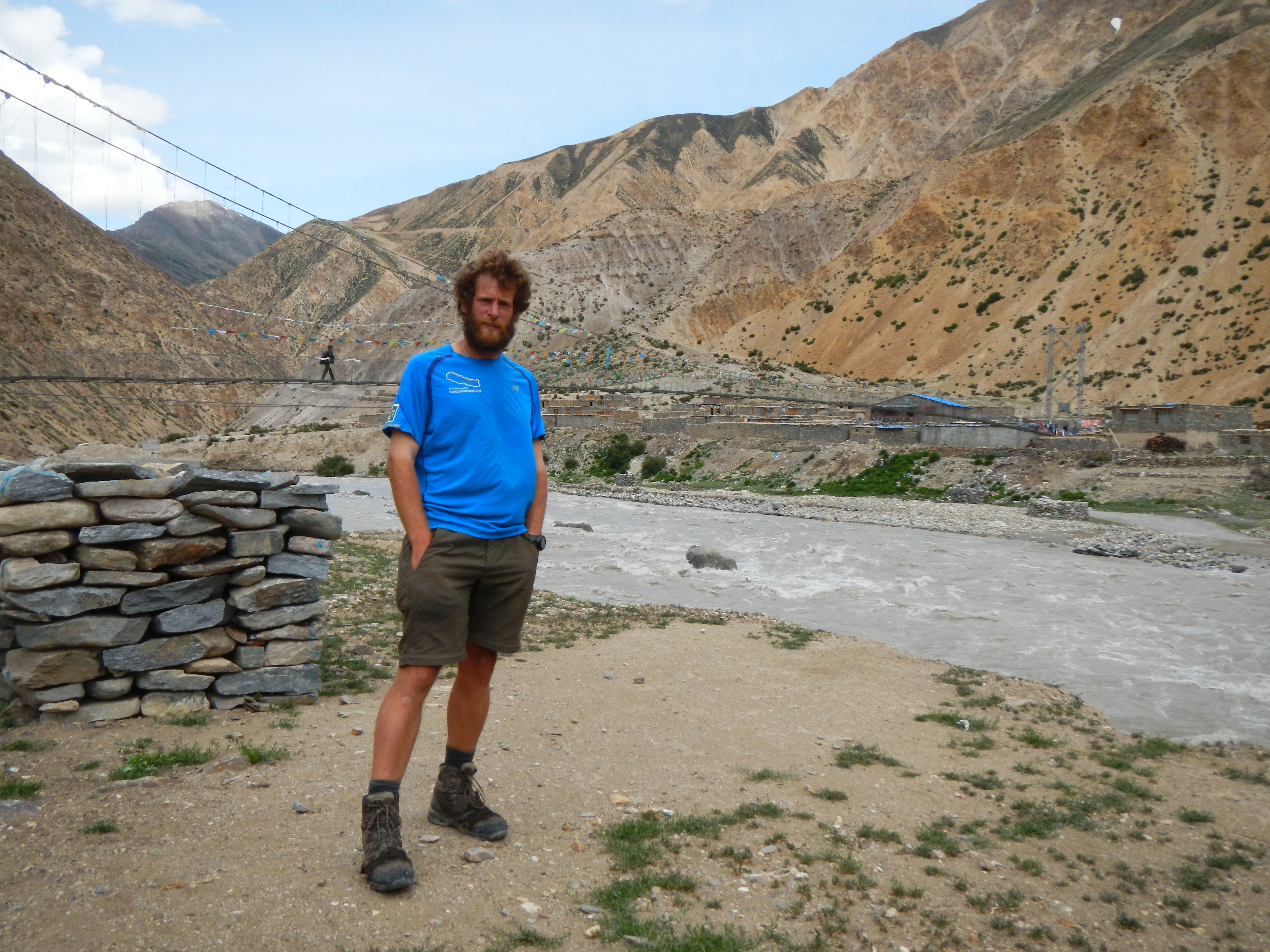
In Jumla one week before finishing the GHT. At this point I had already walked around 1450 km.
The official finishing point of the Great Himalaya Trail, the other side of Friendship Bridge. It had take me 64 days 2 hours and 35 minutes to walk the 1480km from Kanchenjunga Base Camp (although I had walked 1580km in 73 days in total including the time to get to the start point) . However, the walk wasn’t over, I had a 2 day 72km walk back to Simikot to get my flight out of the Himalayas.

Hi Doc,
It’s really inspiring what you have achieved. I have been thinking myself to hike across nepal too.. I thought it’s not possible though. But your story has inspired me and boost my motivation. I I’m from Darjeeling and i have never been to nepal. I don’t have previous experience. I would really appreciate if you provide me some tips to prepare for the journey. I would be really grateful for your response. Thank you.