Articles
GHT Article for the Queens Gurkha Engineer Annual Magazine
THE IDEA
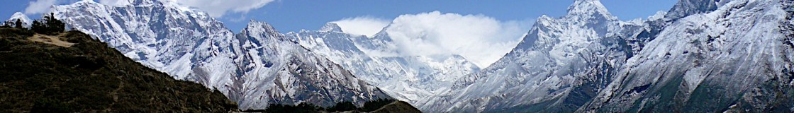
On a cold December winters day in Swinton Barracks in 2011, I finally committed to the idea that after leaving the Army I would complete the Great Himalaya Trail (GHT), a 1500km trek stretching across Nepal. From my time as Project Engineer for GWS in 2010 I knew the trail had only recently been established and it was therefore the perfect challenge. To do it solo would be ultimate goal.
The following ten months were taken up with preparation for and deployment to Afghanistan on Operation HERRICK 16, 2012. It was not until I came back in the October that I could really started to plan the expedition.
On 10 March 2013, after months of planning I had finally said my goodbyes. I sat in Heathrow Airport excited yet a little concerned. Although I was pretty much good to start I still did not have authoriszation to walk across Nepal on my own through the National Parks and Restricted areas. This bothered me. I had tried hard prior to leaving to solve this point but got nowhere.
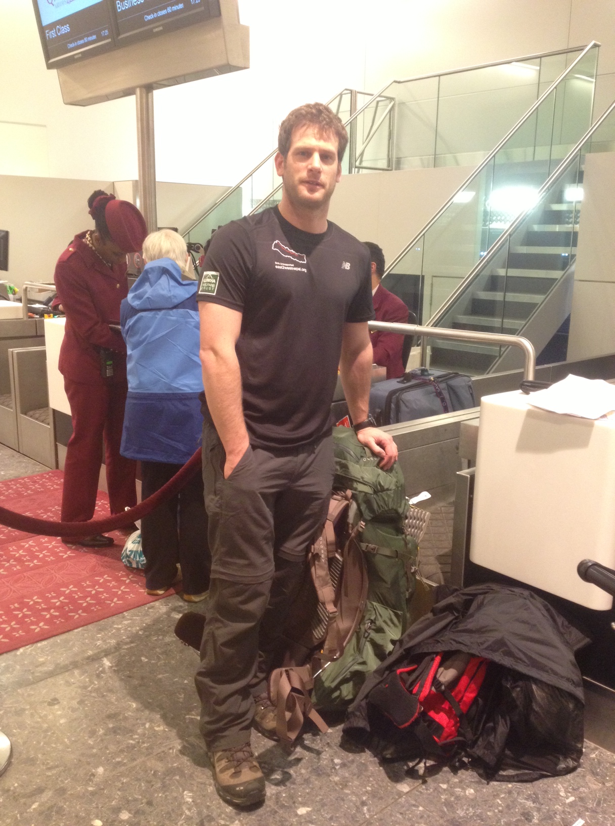
Leaving the UK on 12 Mar 13
THE PLANNING
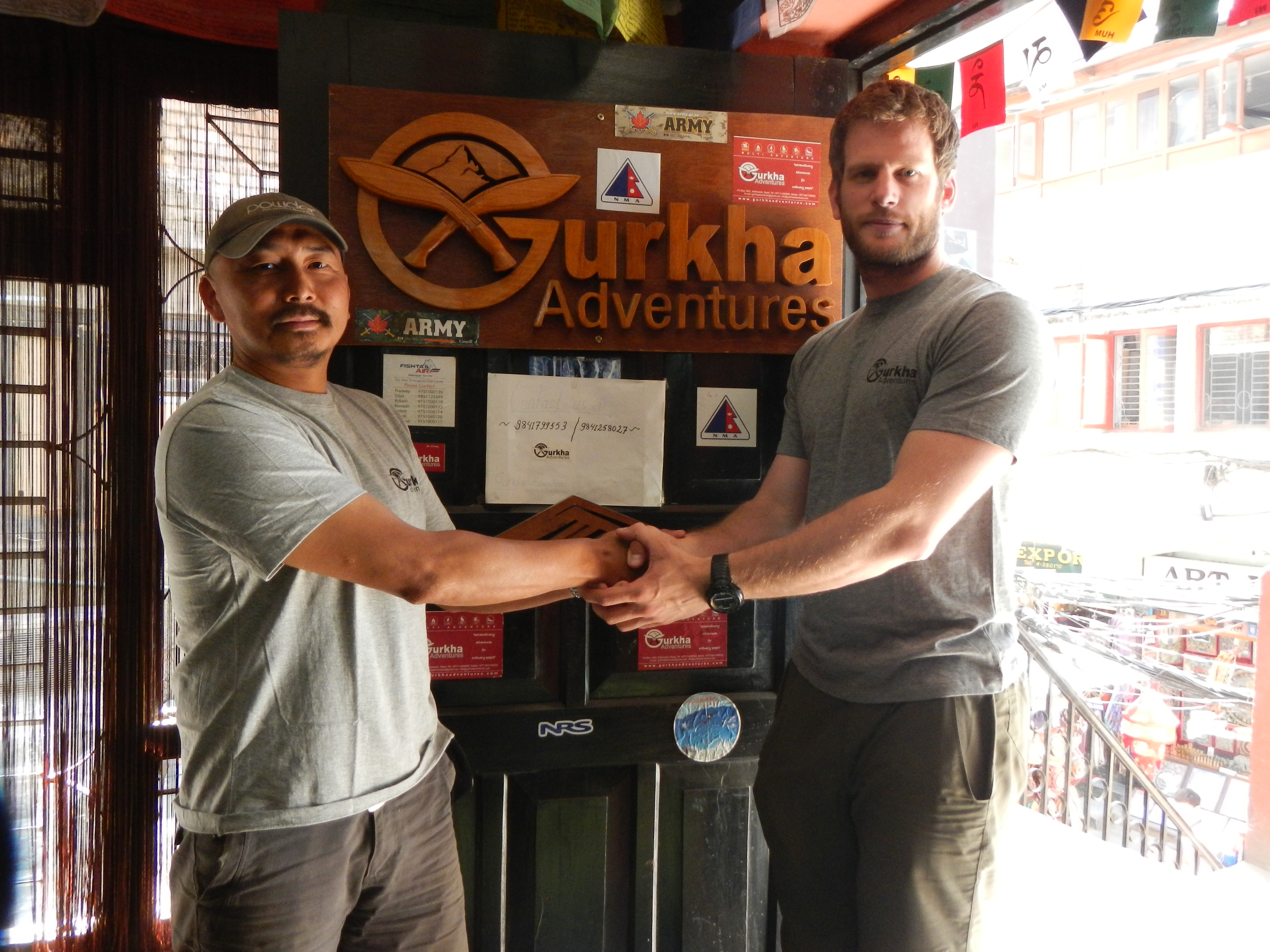
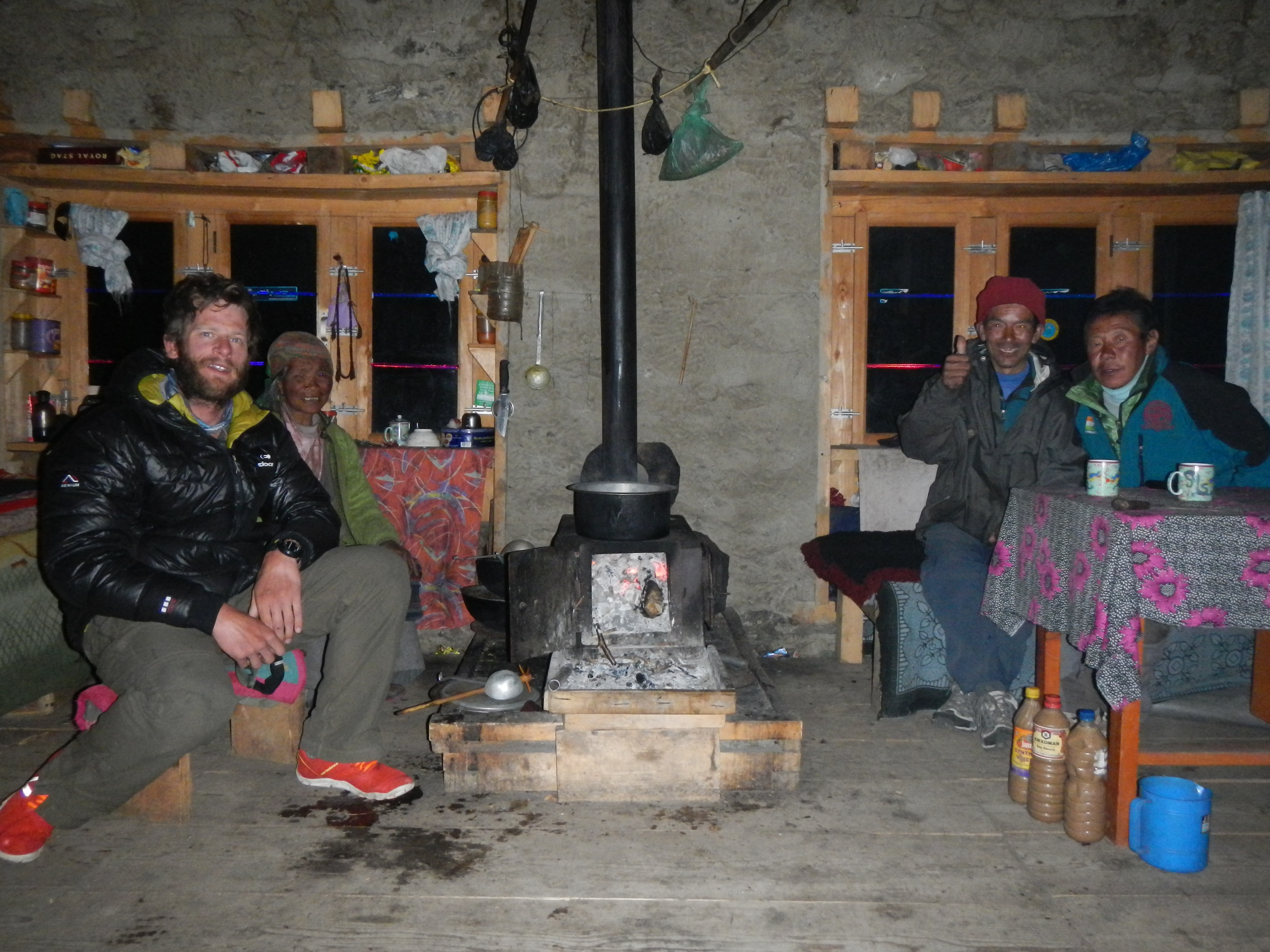
On arriving in Nepal I thought things would be easier. They weren’t. I hit brick wall after brick wall, from extending my visa to getting permission to walking through national parks on my own. Both Khil Thapa (Ex-GQE) and I were not even able to scratch the surface. We would meet daily to try and solve these problems as well as discuss every possible ‘Actions On’ that we could think of to make this expedition as successful and as safe as possible. I even went to the extent of seowing money into my trousers incase I got all of my kit stolen. I would like to think that we left no stone unturned.
After days and days of trying, Maj (Rret’d) Judbahadur Gurung Ex QGE GM and the British Embassy came to the rescue. Jud Saheb managed to use his contacts, his persuasiveness and cash in some favors with the WWF to get me permission and paperwork I needed (which had never been given before). Thankfully due to the BGN presence in the Defence Attache department I got my visa. By this point it felt that the hard work had been done and all that was remaining was the easy stuff; the walk. Having spent two weeks fighting through red tape, I was finally ready to go.
PRE-TREK ADMIN
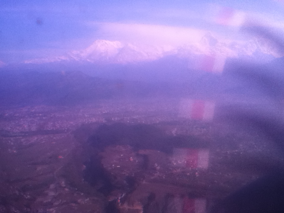
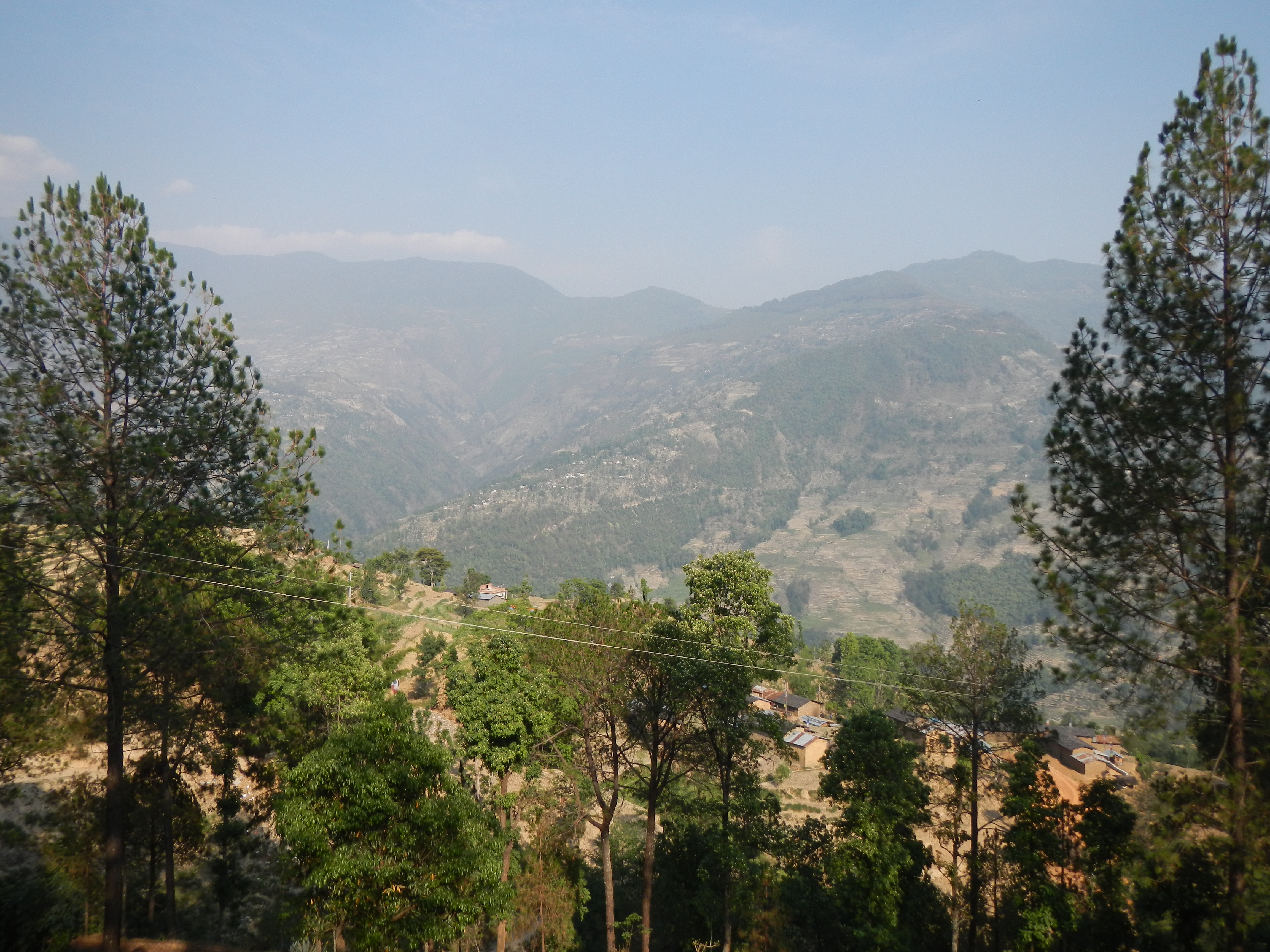
When I eventually flew to the east on 24 March 13 it was a very surreal feeling. Seeing the foothills below and the long never ending Himalayas in the distance, I quickly remembered how difficult and demanding it was to walk the terrain and the enormity of the challenge came alive. This was not going to be easy.
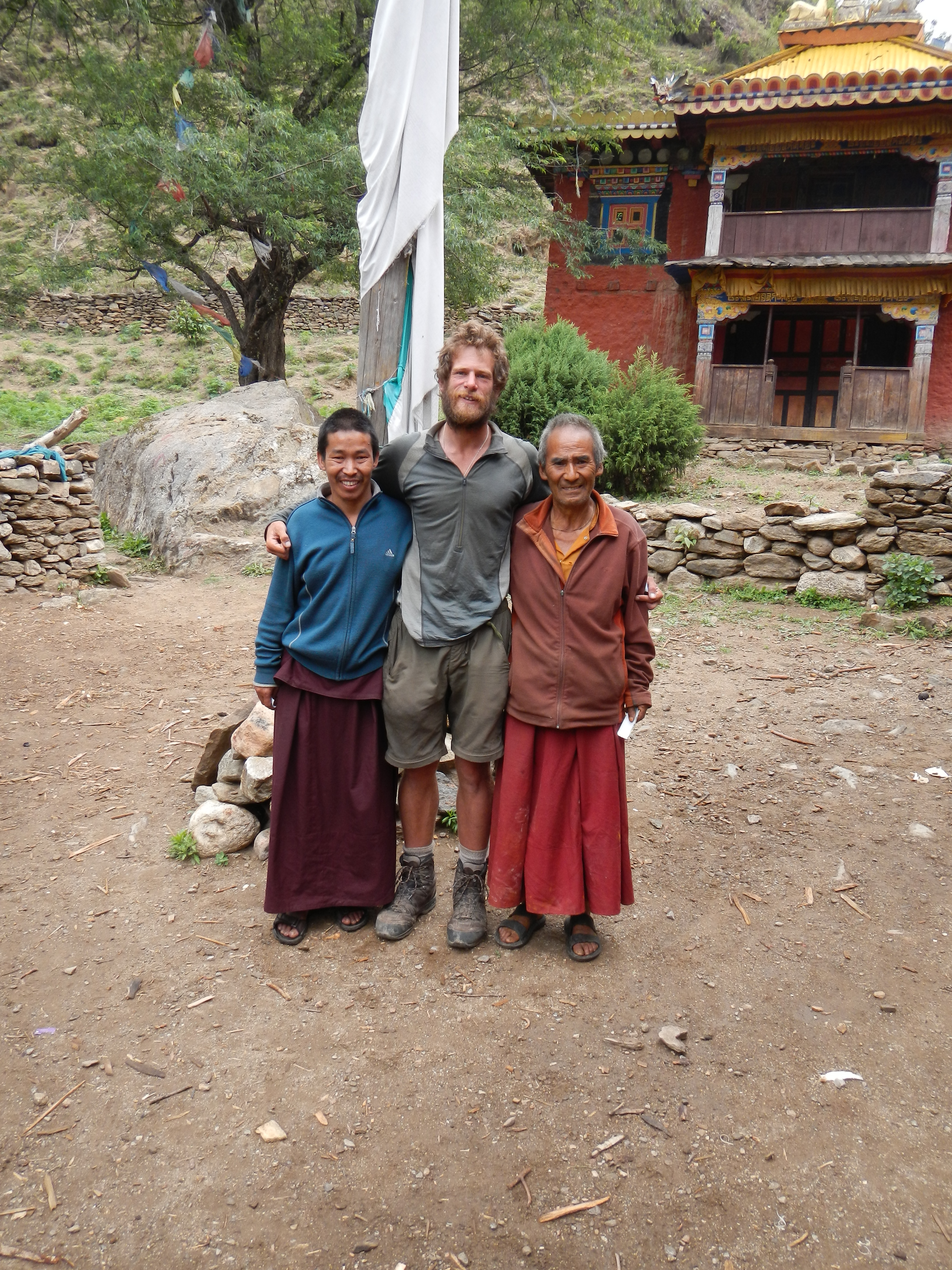
Khil Thapa wishing me luck before I leave Kathmandu and head to the east
THE START
I spent six days conducting ‘battle prep’ out of AWC Taplejung doing light trekking, language training and ‘intelligence gathering’ for the route ahead. As ever the hospitality at the AWC was second to none and on 1 April 2013 I set off on my 120km walk to the start line, Kanchenjunga Base Camp (5143m).
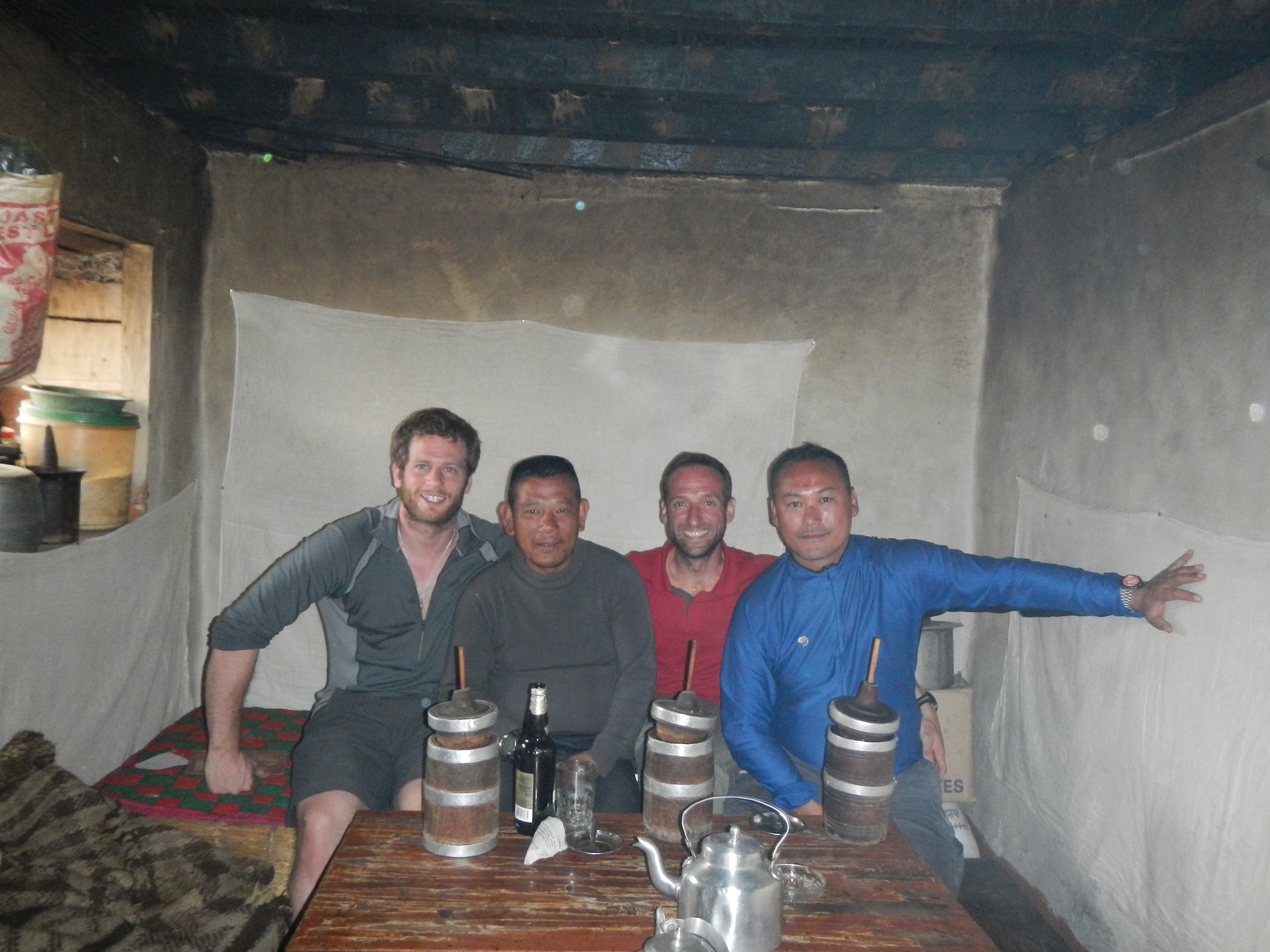
A few tombas with Andy, Suresh and Dinesh
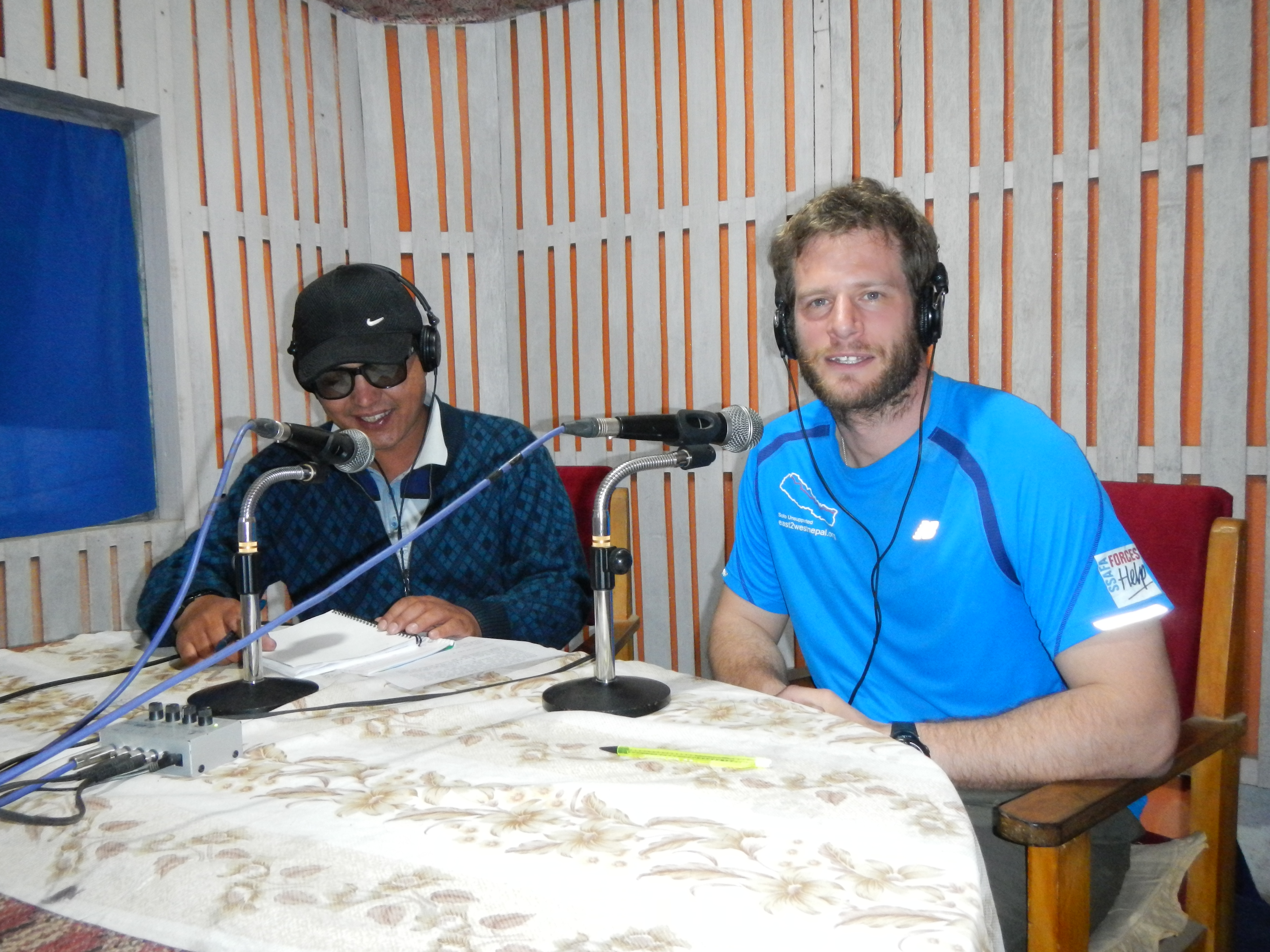
My random radio interview in Taplejung
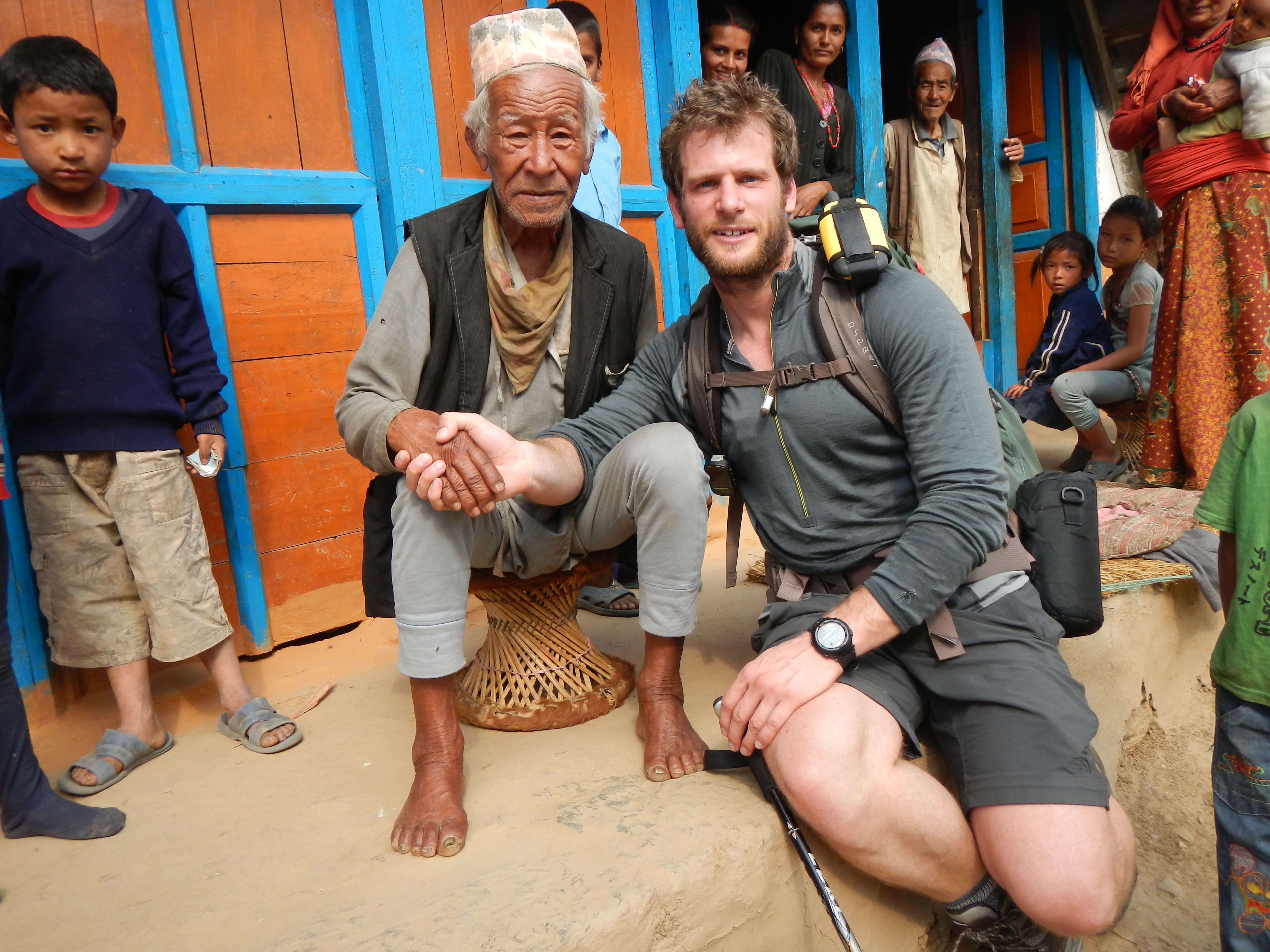
Retired 2/10 GR soldier who is 100 years old. This was on one of my pre-trek days.
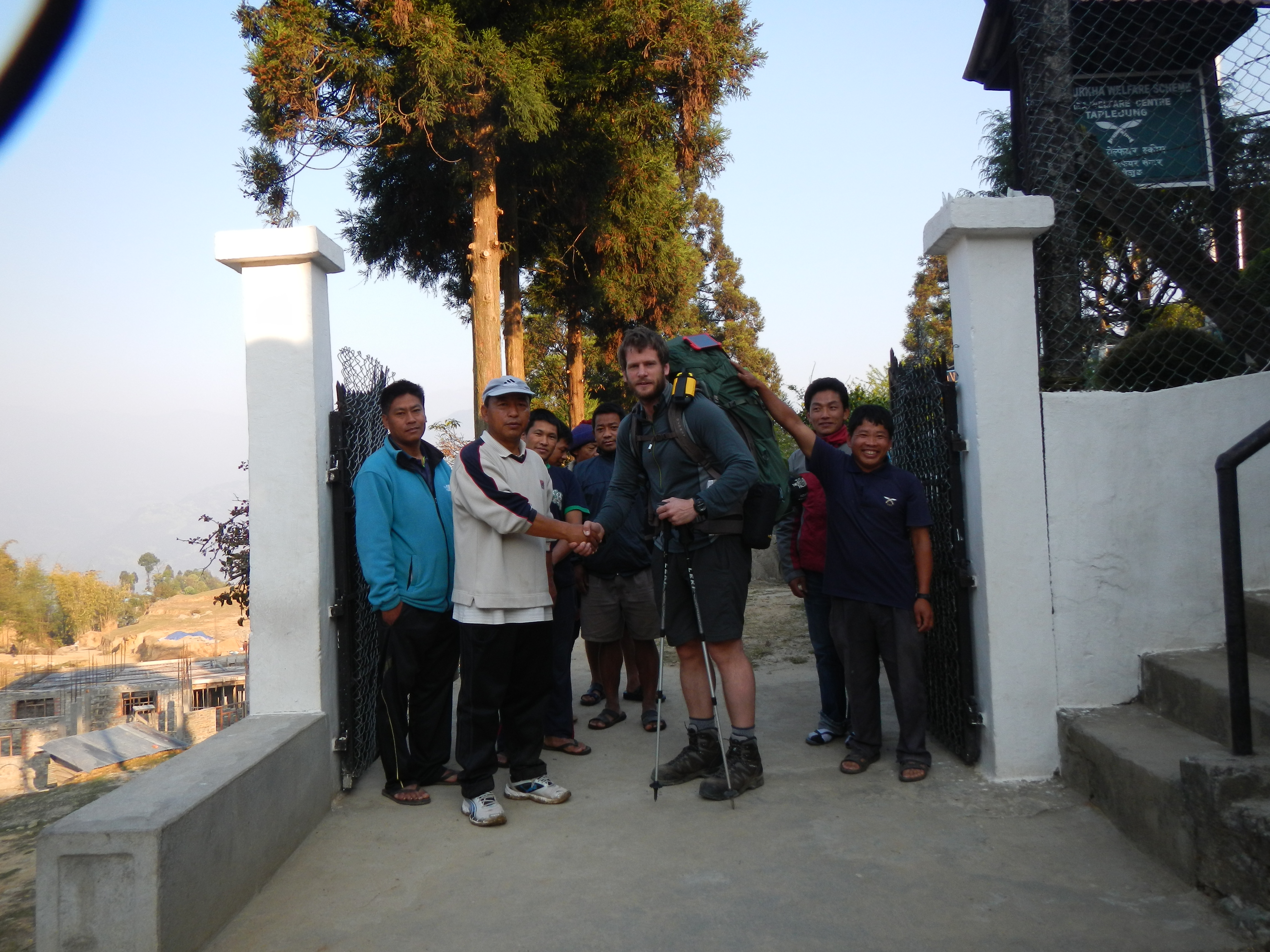
Farewell from the guys at Taplejung Area Welfare Centre
Eight and a half days (8 April) later, having suffered a casualty of a leaking tent during a big storm, reducing my kit by at least 2kg and being followed by the worlds tightest Israeli, I was finally at Kanchenjunga Base Camp (5,143m). The weather was perfect. From the initial idea to start line was 16 months and hours of hard work by many people. I remember looking up at Kanchenjunga (8,586m), then to the west and thinking ‘what challenges and adventures await me over the next three months between here and Hilsa? I don’t care. I am here now and regardless what happens, I will make it!’
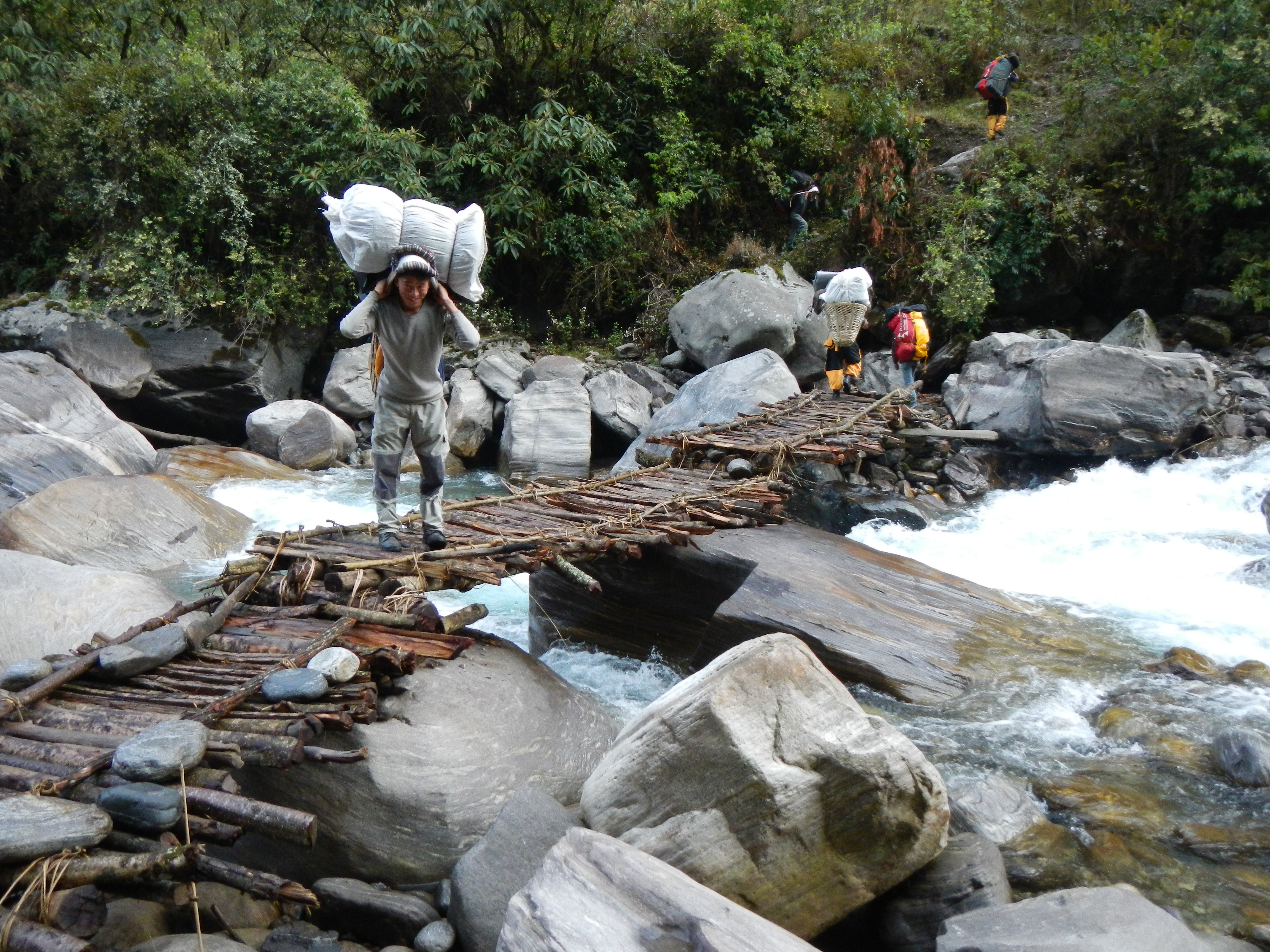
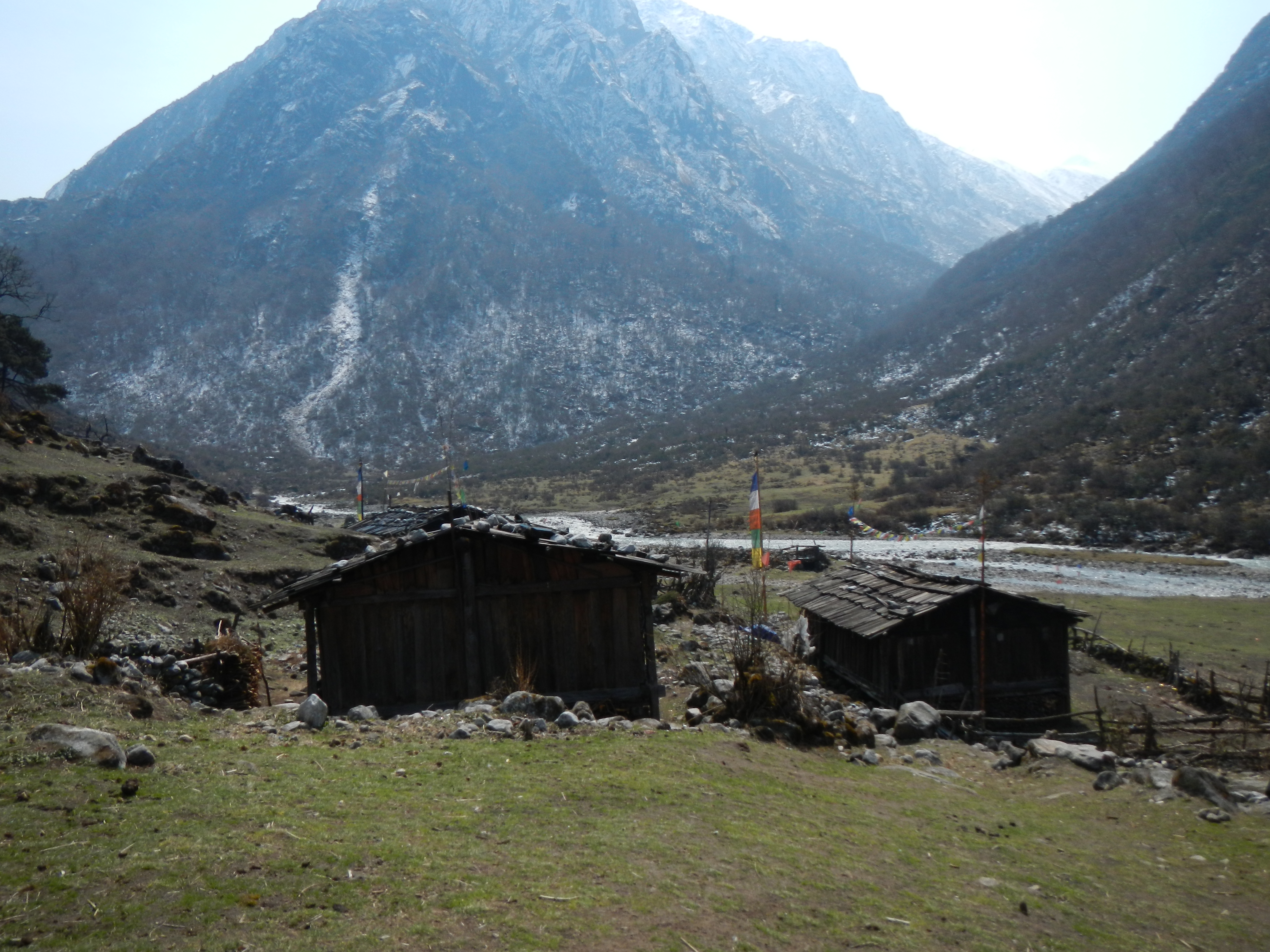
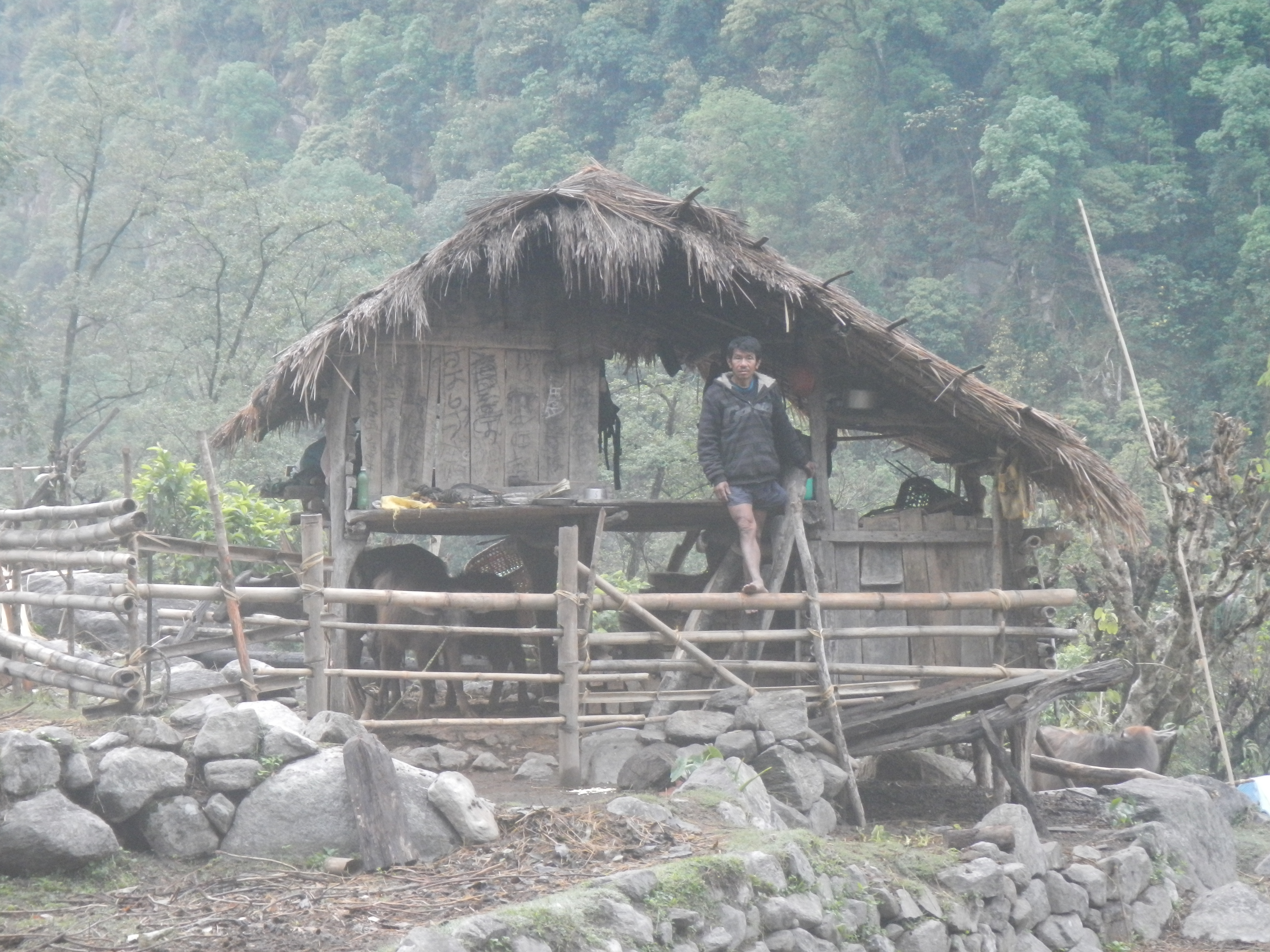
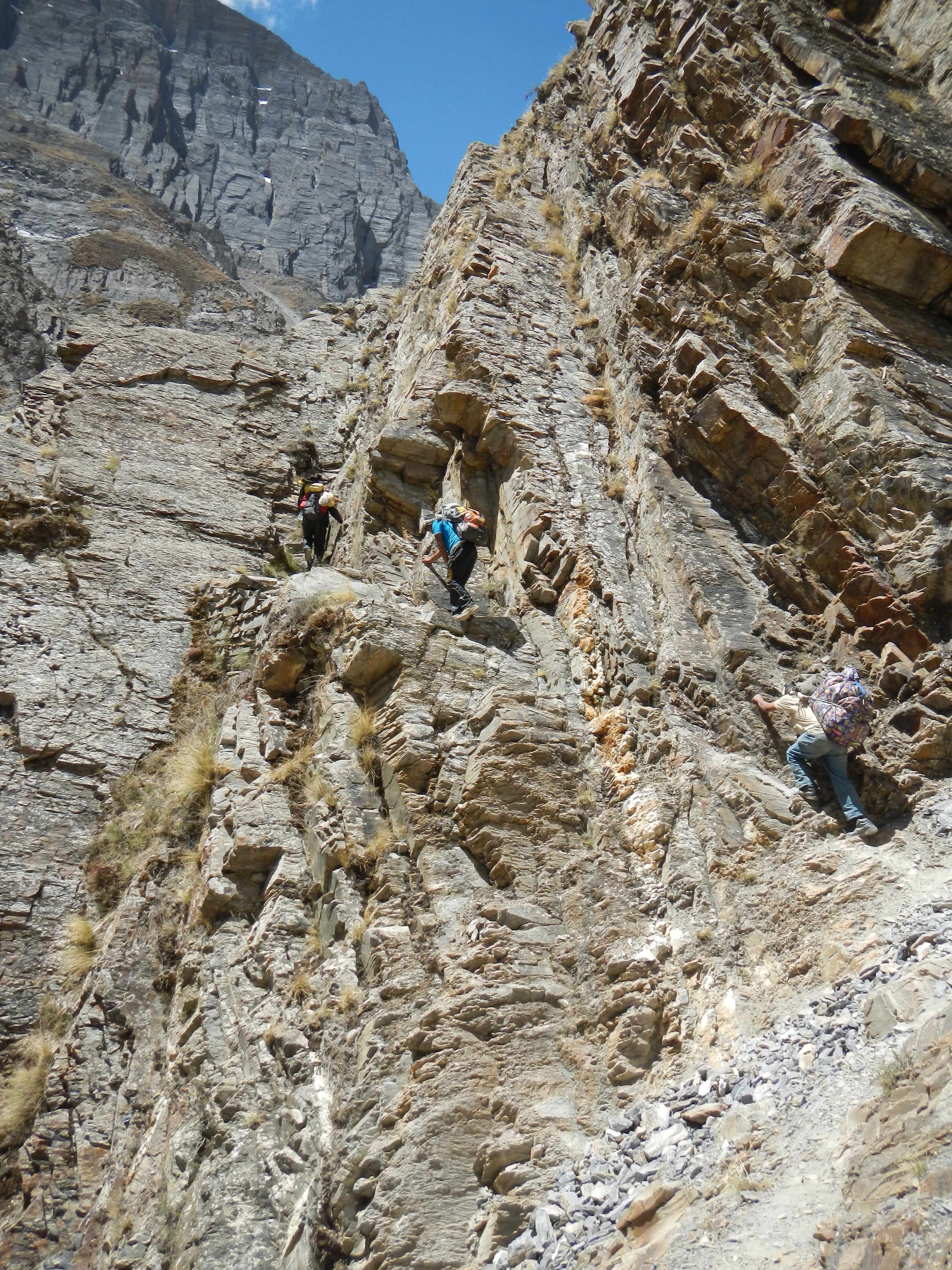
Typical example of some of the local wooden bridges
Inspecting one of KAAA bridges at Sekathum village
Amazing morning views in Khangpachen before heading further north up the valley to Lhonak.
A Sherpa couple looking pretty serious in Gyabla, Kanchenjunga National Park.
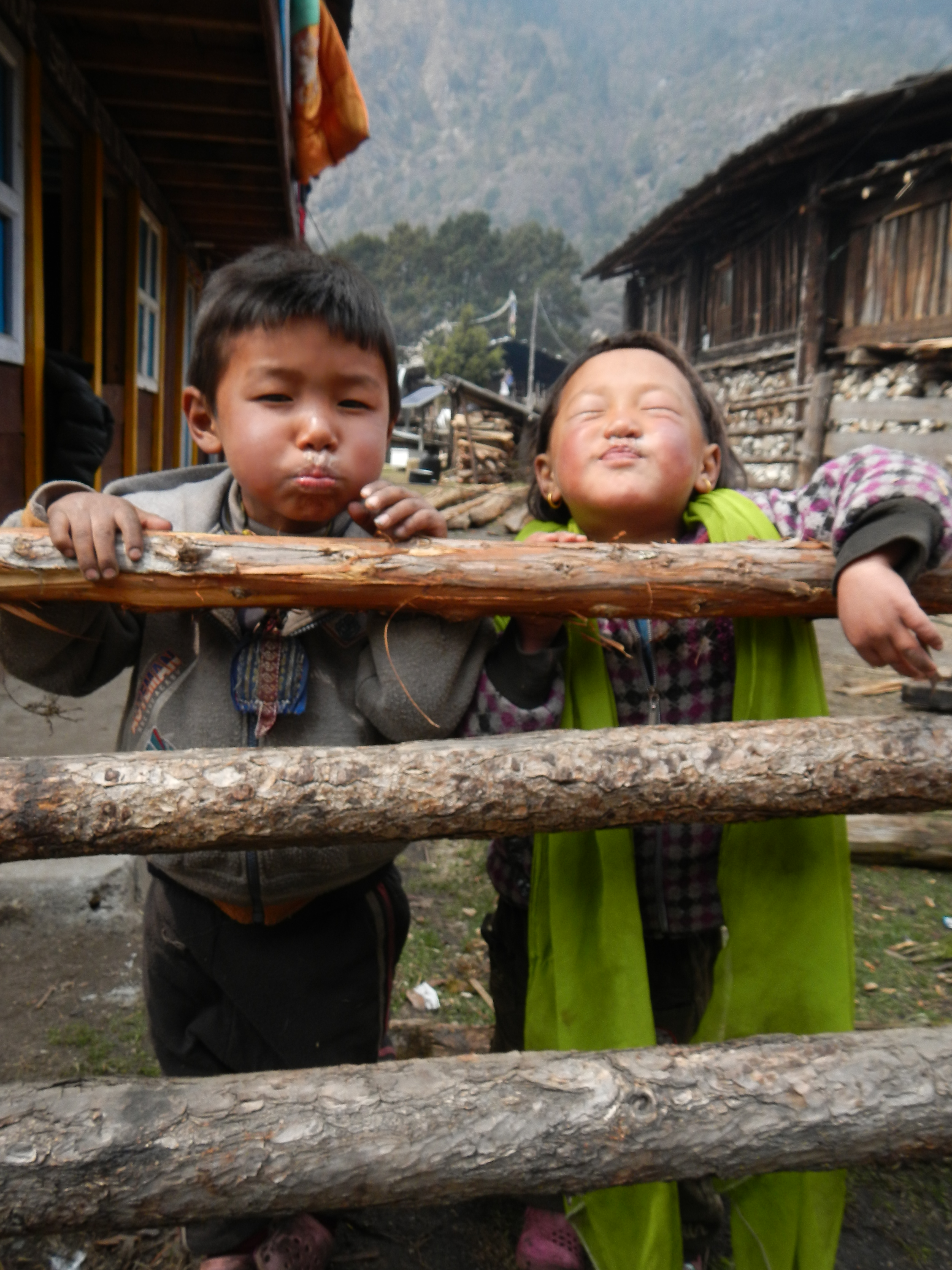
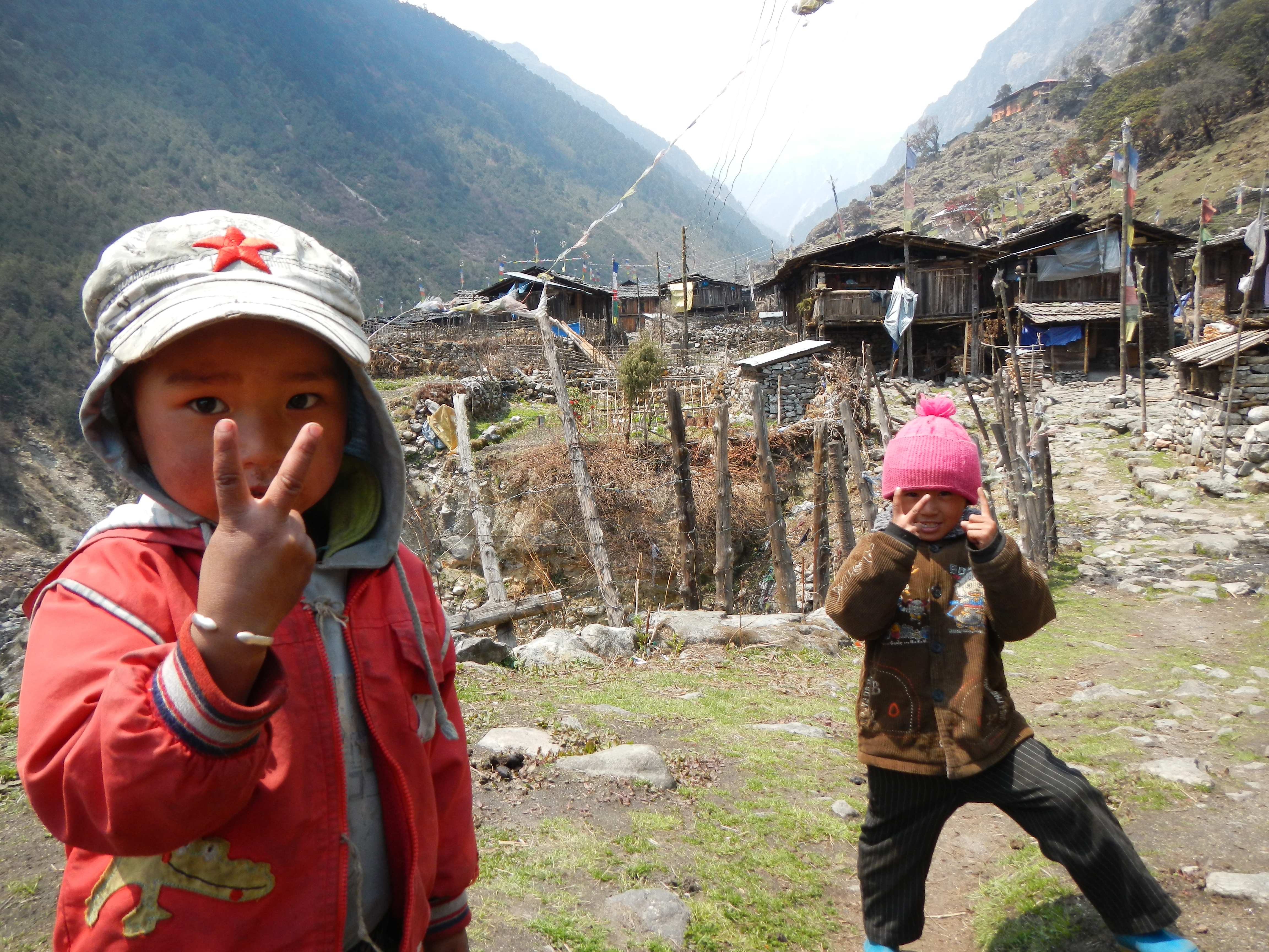
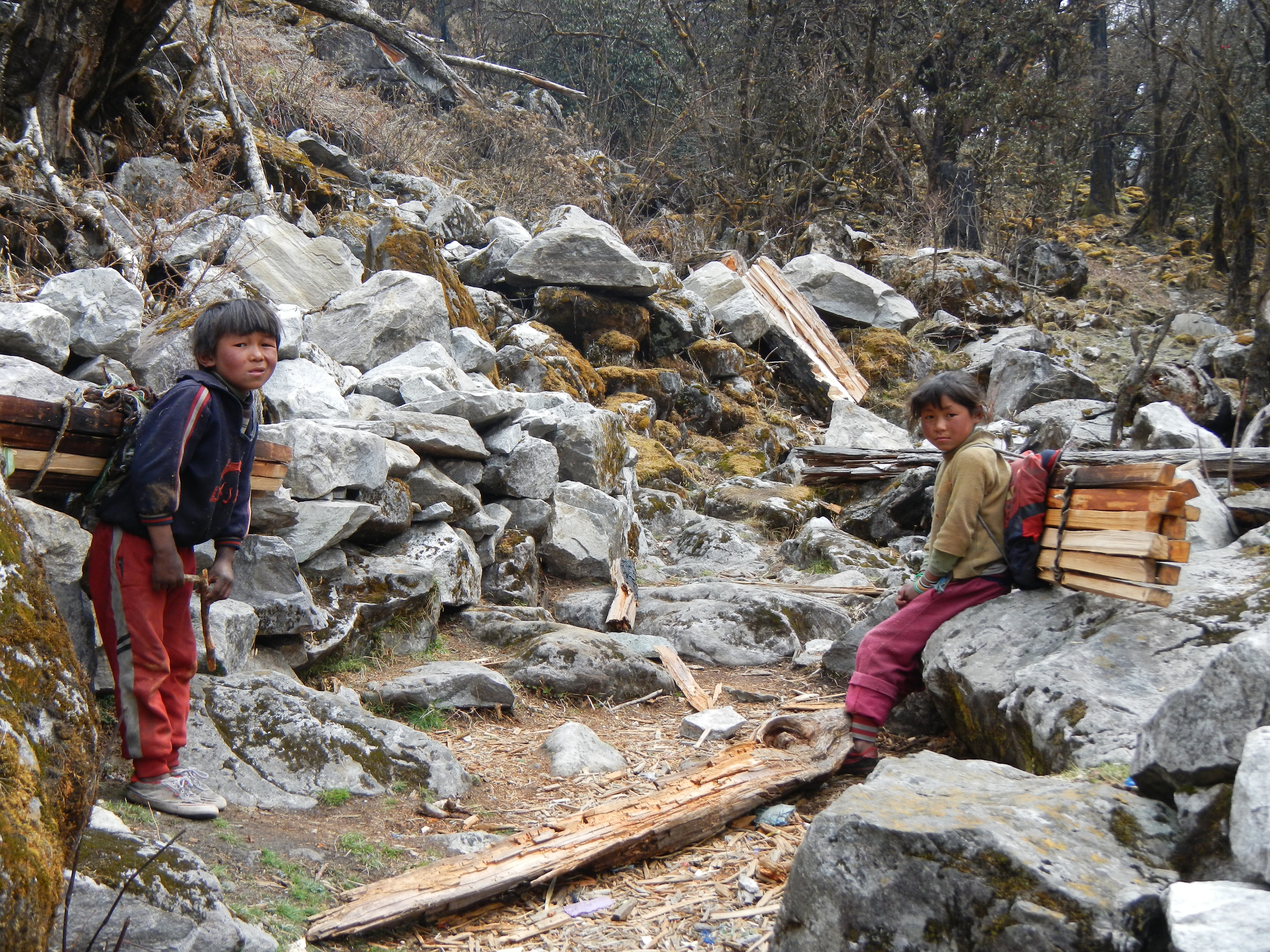
Two cheeky local Sherpa children in Ghunsa.
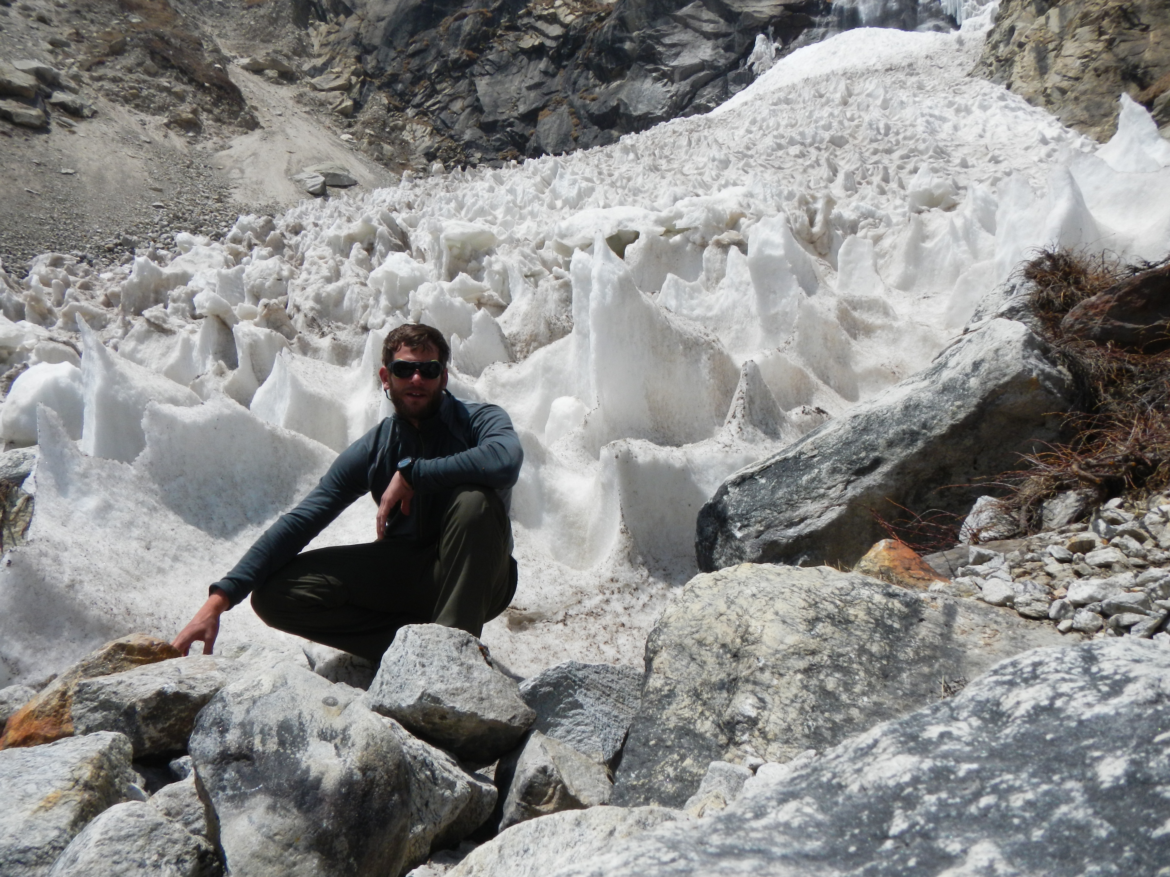
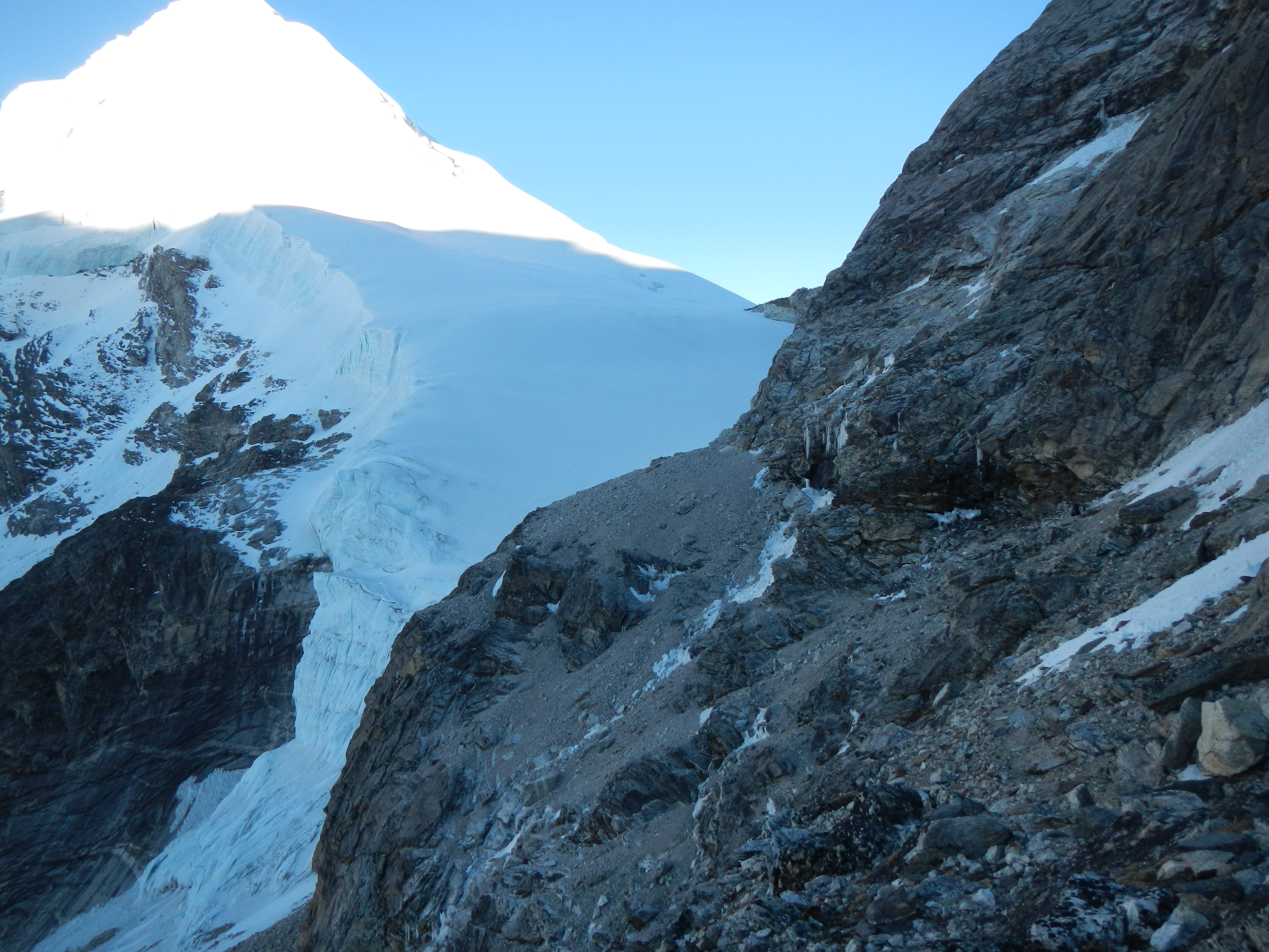
Some crazy ice features on the way to Lhonak
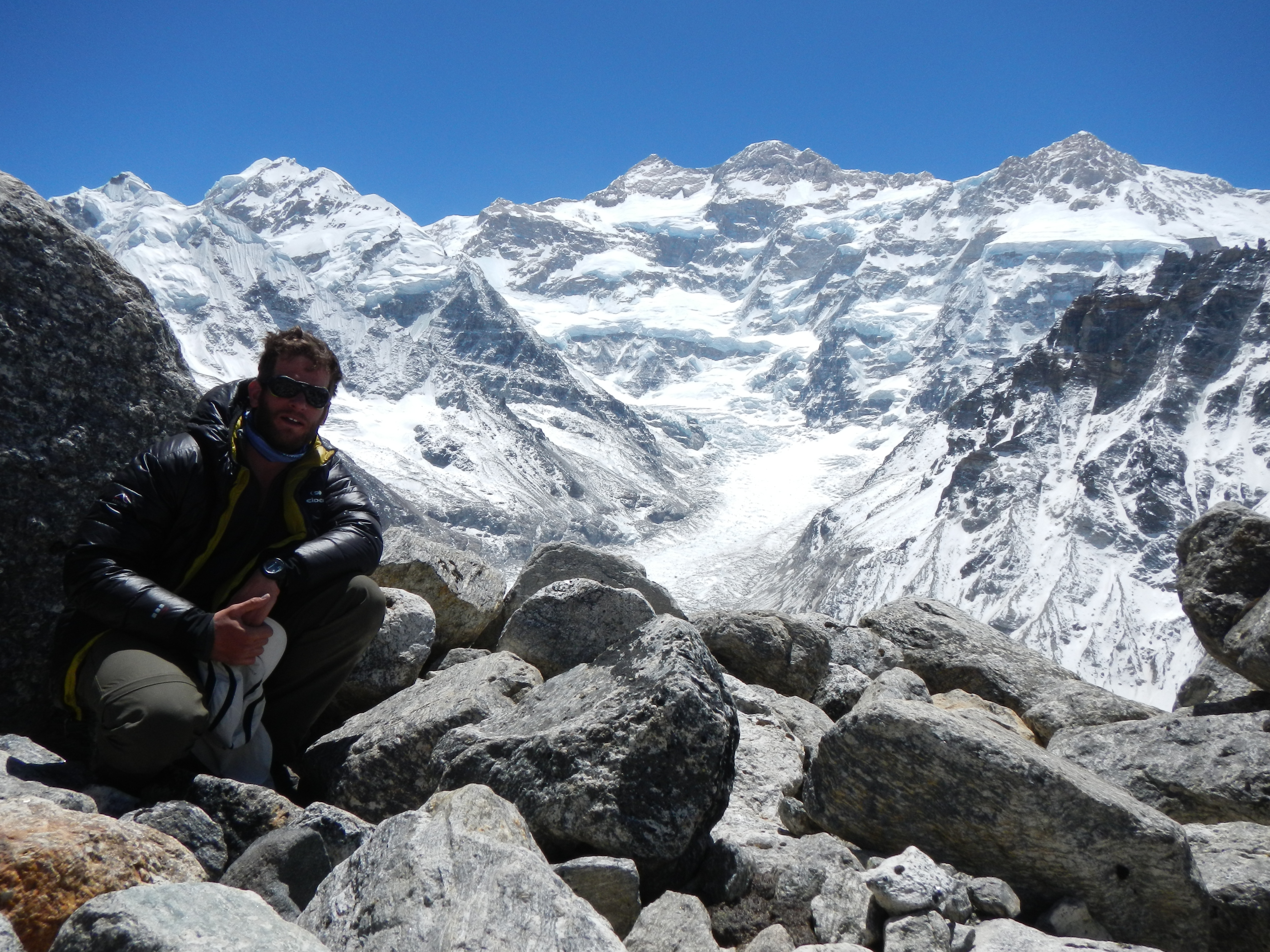
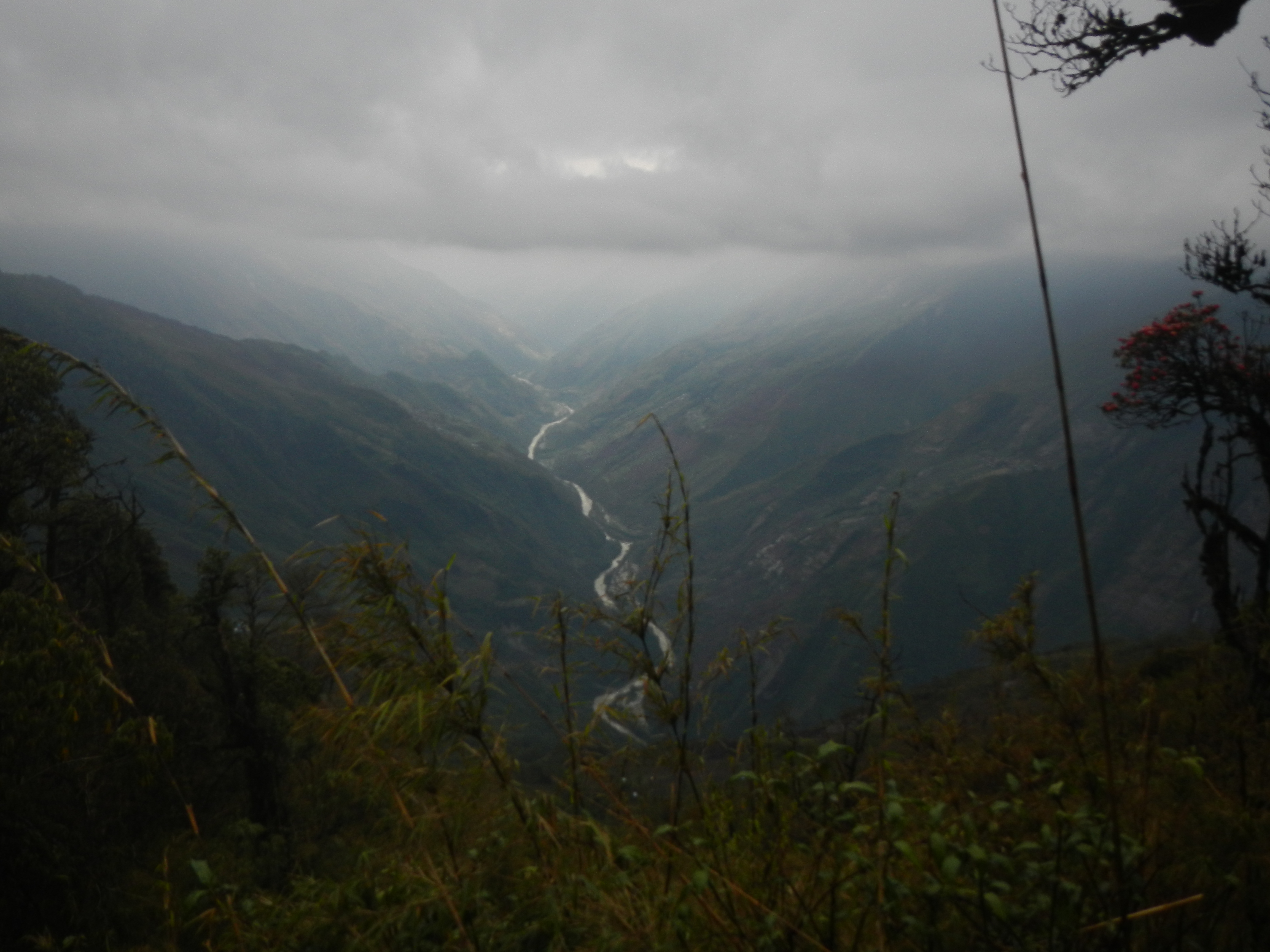
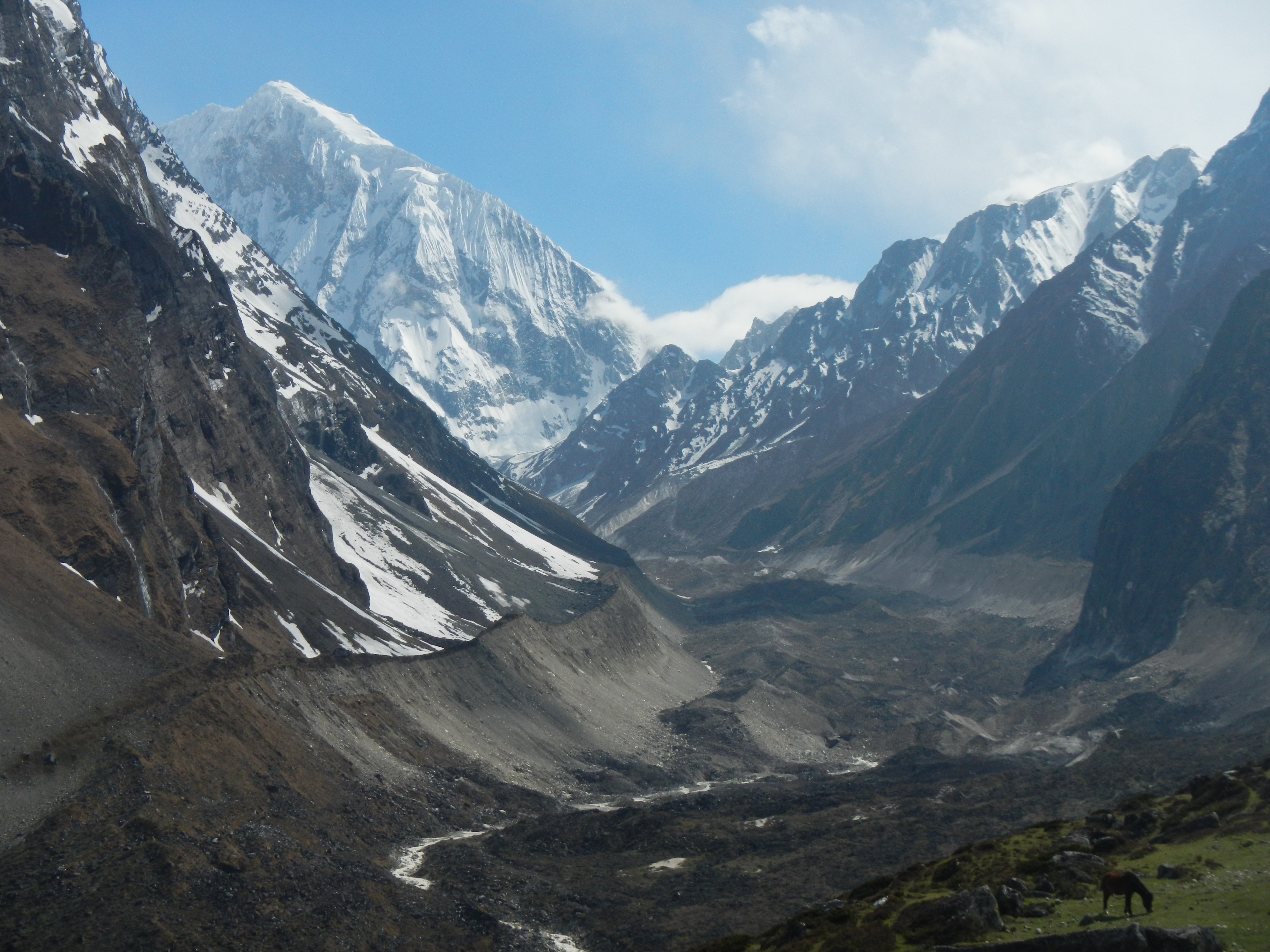
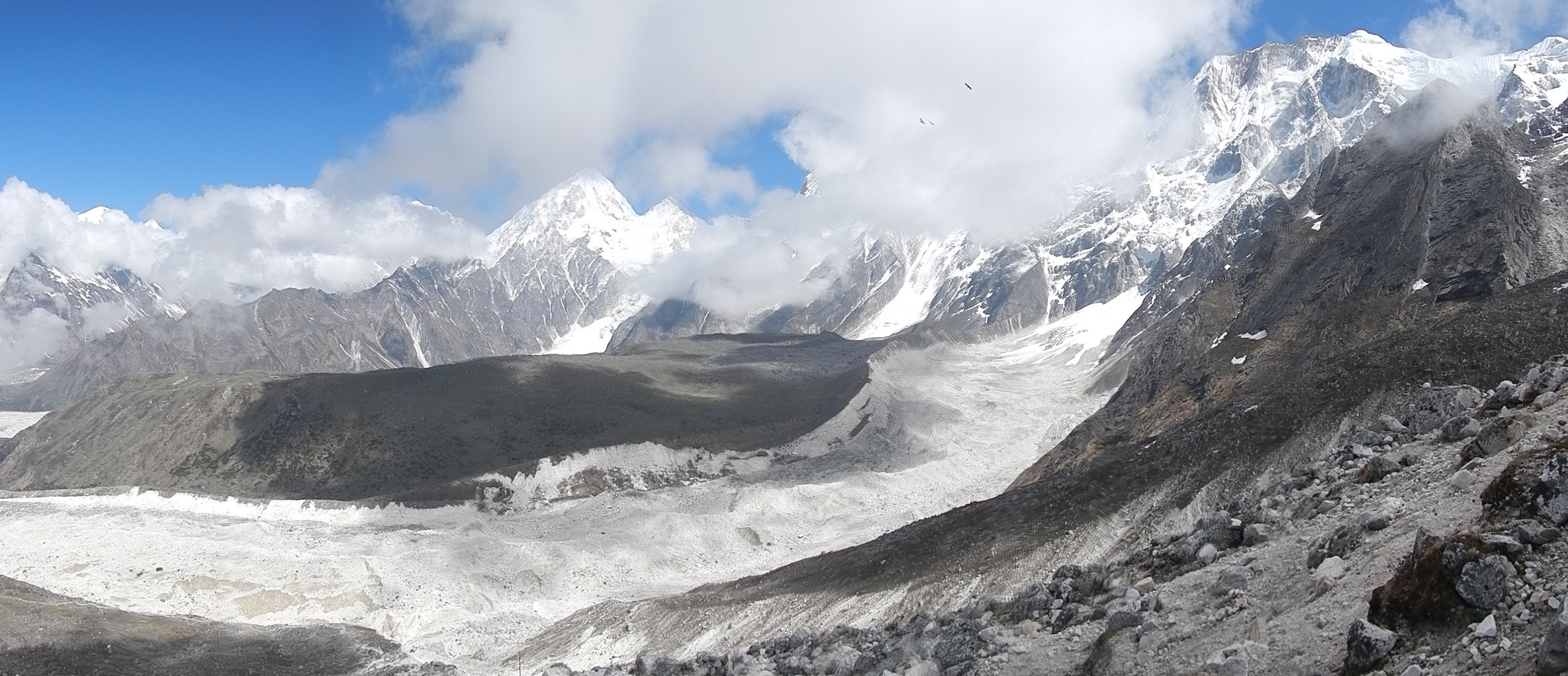
The view from Lhonak looking up the glacial valley towards Kanchenjunga Base Camp
Looking east along the valley towards Kanchenjunga Base Camp as the sun sets.
After 8.5 days of walking I finally made it to the start point for the Great Himalaya Trail, Kanchenjunga Base Camp (5143m)
LUMBHA SUMBHA
The first big challenge of the trek was the crossing of the Lumbha Sumbha Pass (5,130m). I wont lie, I was nervous about this even in the UK. It is very remote, hardly travelled and my maps were at such a large scale (1:150,000) that it didn’t do the terrain justice or respect its enormity.
My first experience of himalayan isolation I as crossed the Nanga La Pass (4950m). I didn’t see a soul for two days.
A warm welcome as I arrived in the village of Olongchung Gola. These were the first people I had seen in two days.
A spot of washing at the base camp of the Lumbha Sumba. A cold, icy glacial stream, but at least I felt clean for the first time in a few days.
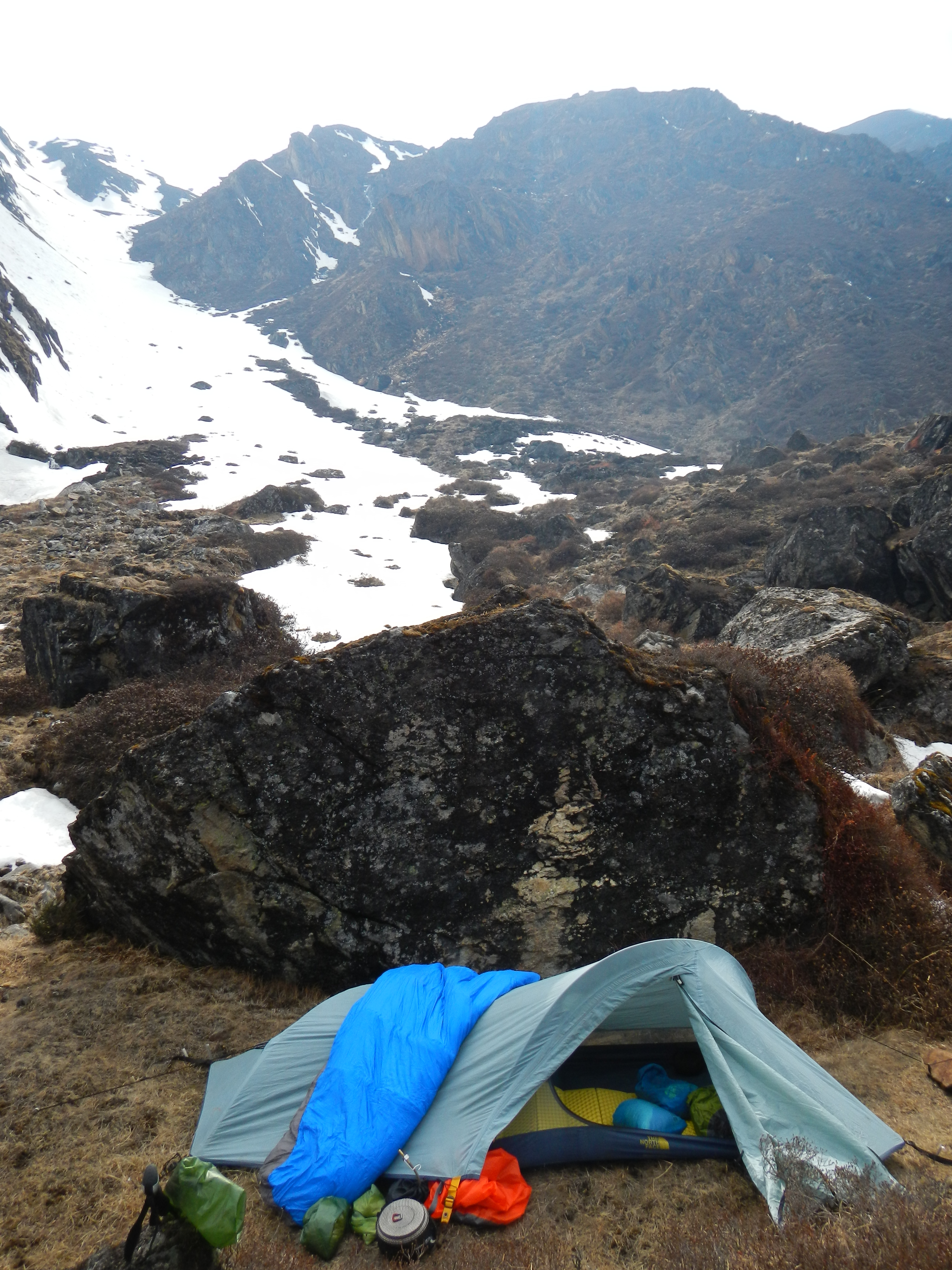
Lumbha Sumba Pass base camp. The route the following day was straight up the re-entrant in the background.
On 14 April I planned to get up early and cross the Pass. I woke up an hour late. Not ideal when you want to get up and over before the weather changes. The route I chose was not the one from the map as I couldn’t find this on the ground. I took a prominent snowy re-entrant to get me up high, but this added distance to my day. Negotiating the steep, cold and at times icy re-entrant with 25kg on my back was not easy, nor fast going. Hours later as the sun was really starting to heat up I had made it to the top, but I was not where I thought I was. Far from it. Not helped by the scale of the map. I could see the pass I needed to cross in the distance, far away, with another pass in the middle. ‘Deep joy.’
On the way to the first of three 5100+m passes as I cross the Lumbha Sumba Pass. Kanchengjunga and other amazing peaks can be seen in the background.
The view from the first 5100m pass on the way to the Lumbha Sumba Pass. Looking north along the route I had just walked. There was no one around for days in every direction.
Looking towards the Lumbha Sumba Pass (5130m). The route too it though was knee deep snow.
Six hours later, hungry and dehydrated, having waded through knee to waist deep snow and limiting visibility, I eventually reached the actual Lumbha Sumbha Pass (5159m). I was tired but relieved. It was by no means over though. There was a steep snowy descent ahead of me, followed by a long route out of the valley and with black storm clouds coming my way it was going to be an interesting end to the day.
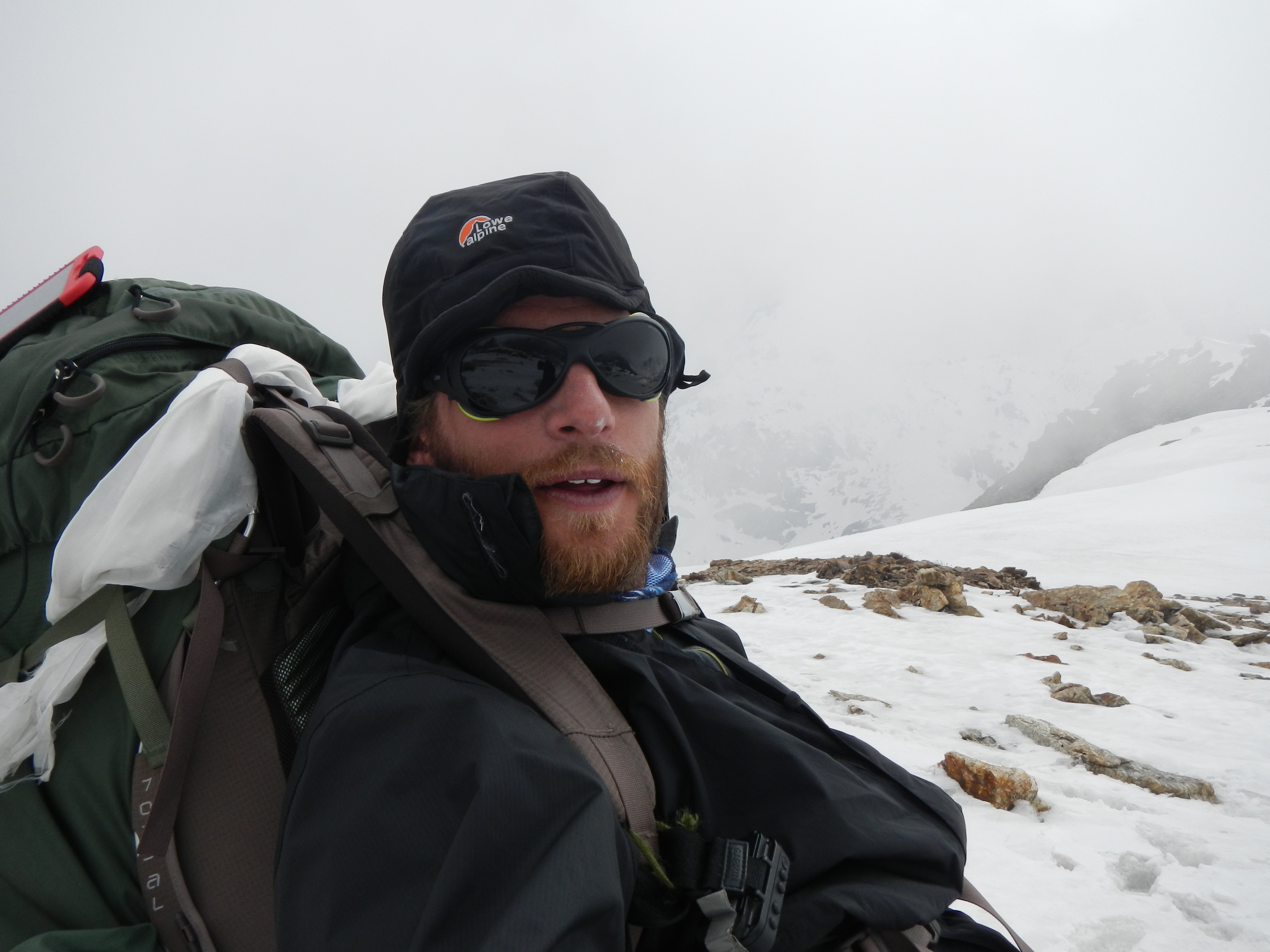
Looking tired but happy as I finally reach the top of the Lumbha Sumba Pass (5130m) after crossing two other 5100+m passes to get this far. The clouds were coming in fast causing problems with visibility. A large storm followed too.
Hours later, descending through more knee to waist deep snow, I hit the valley floor. It was rocky and riddled with streams. I started to run as I needed to find shelter before it was too late. A short while later the storm was close. Hundreds of metres ahead of me lightening was hitting the ground and illuminating the entire valley . As night fell I still couldn’t find anywhere suitable to stay to get out of the storm, until I spotted a very primitive shelter out of the corner of my eye. Inside was an older elderly Sherpa yak herder trying to sleep. Once he got over the shock of being woken by a cold, wet and very tired ‘gora’ he was very friendly and invited my in out of the weather. Over a smoky fire whilst I cooked the first food of the day we conversed as best we could, as he didn’t speak that much Nepali. I couldn’t help but notice he had what looked like frostbite on two fingers and wasn’t wearing any shoes or socks! As I settled in for the night I could feel the aches drain out of my body as the storm continued overhead. It wasn’t long before I was in a deep sleep.
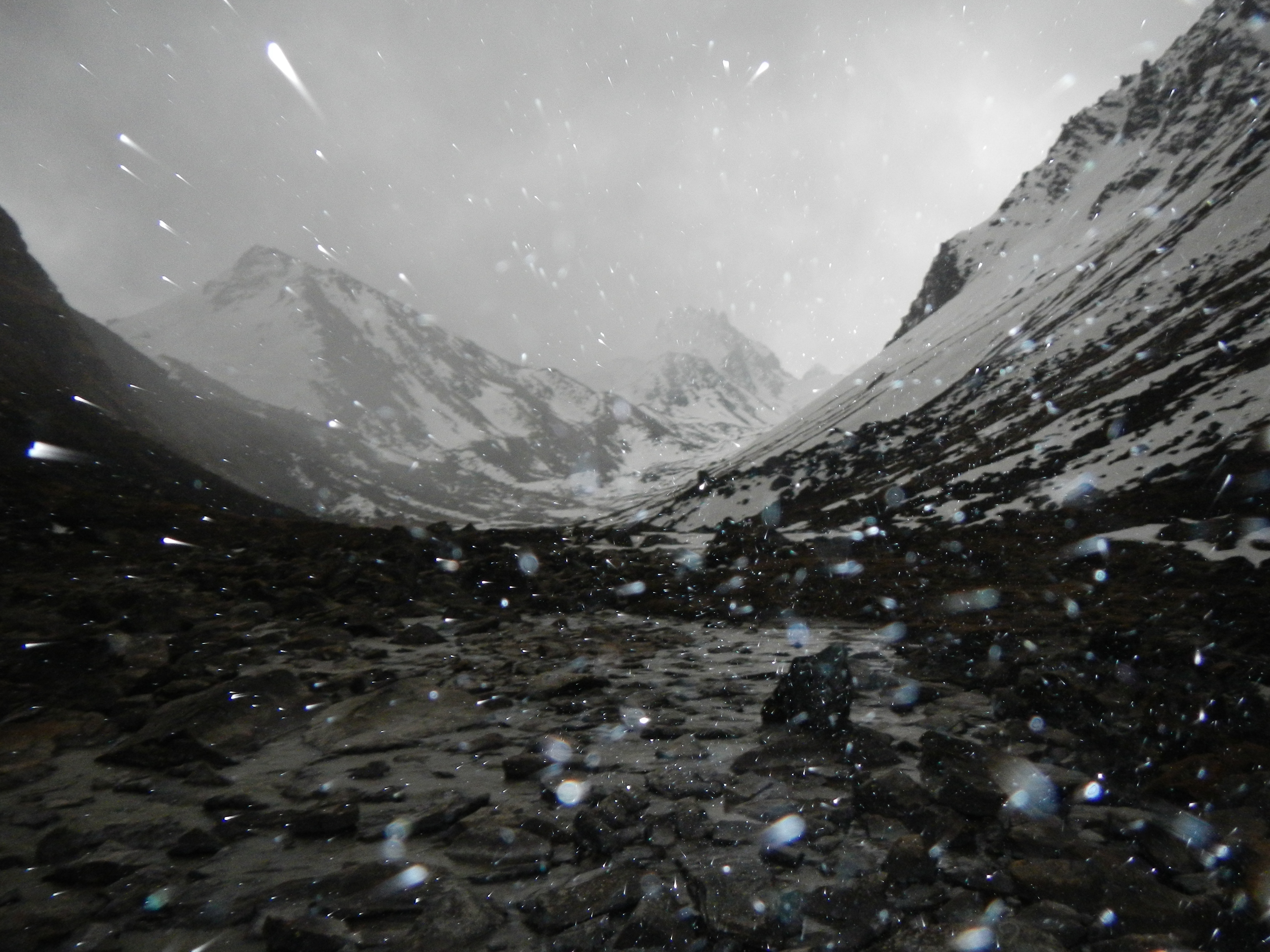
As I descended from the Lumbha Sumba Pass (5130m) I large storm was working its way up the valley. As I looked for shelter on either side of the valley I ran through the streams, sadly there was nothing until I found a yak herders tent.
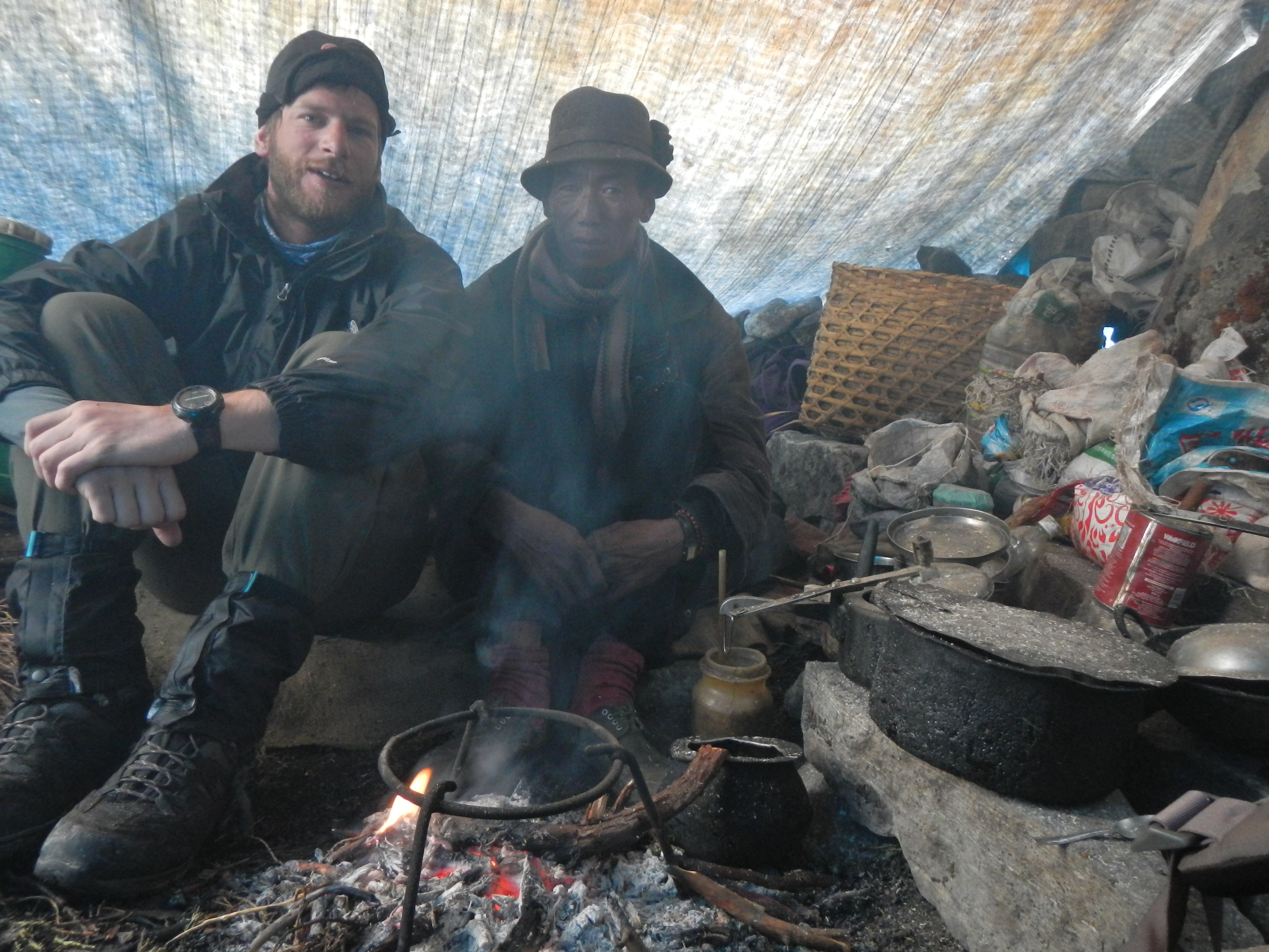
The yak herder who kindly let me shelter in his tent for the night after I was caught out by the large storm as I descended the Lumbha Sumba Pass (5130m).
The morning after the large snow storm that caught me out as I descended from the Lumbha Sumba Pass (5130m). This was the tent I managed to seek refuge for the night thanks to a kind yak herder.

Tired after crossing the Lumbha Sumba pass and sleeping in the primitive Yak Herders tent, but good to go.
GETTING LOST
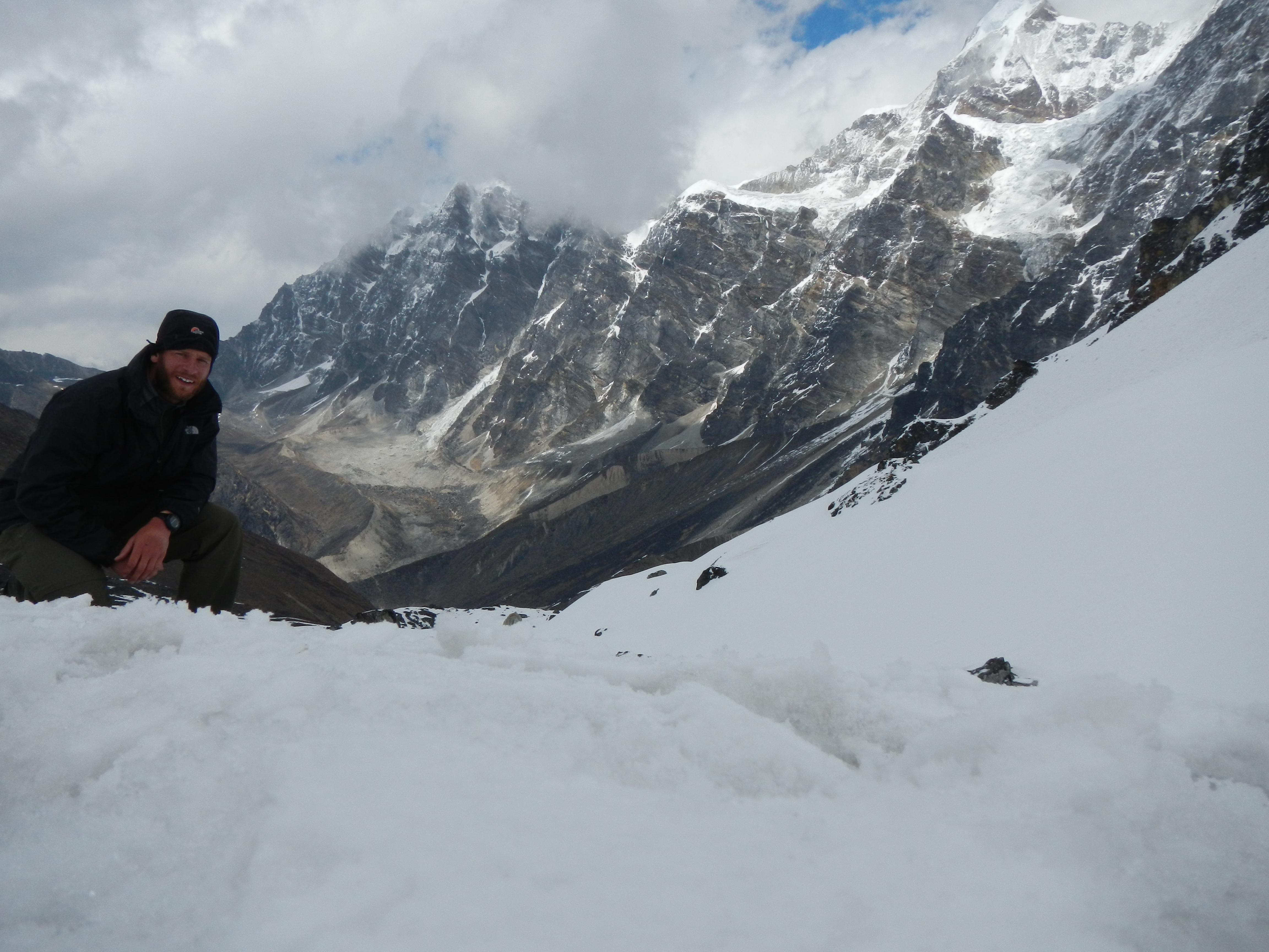
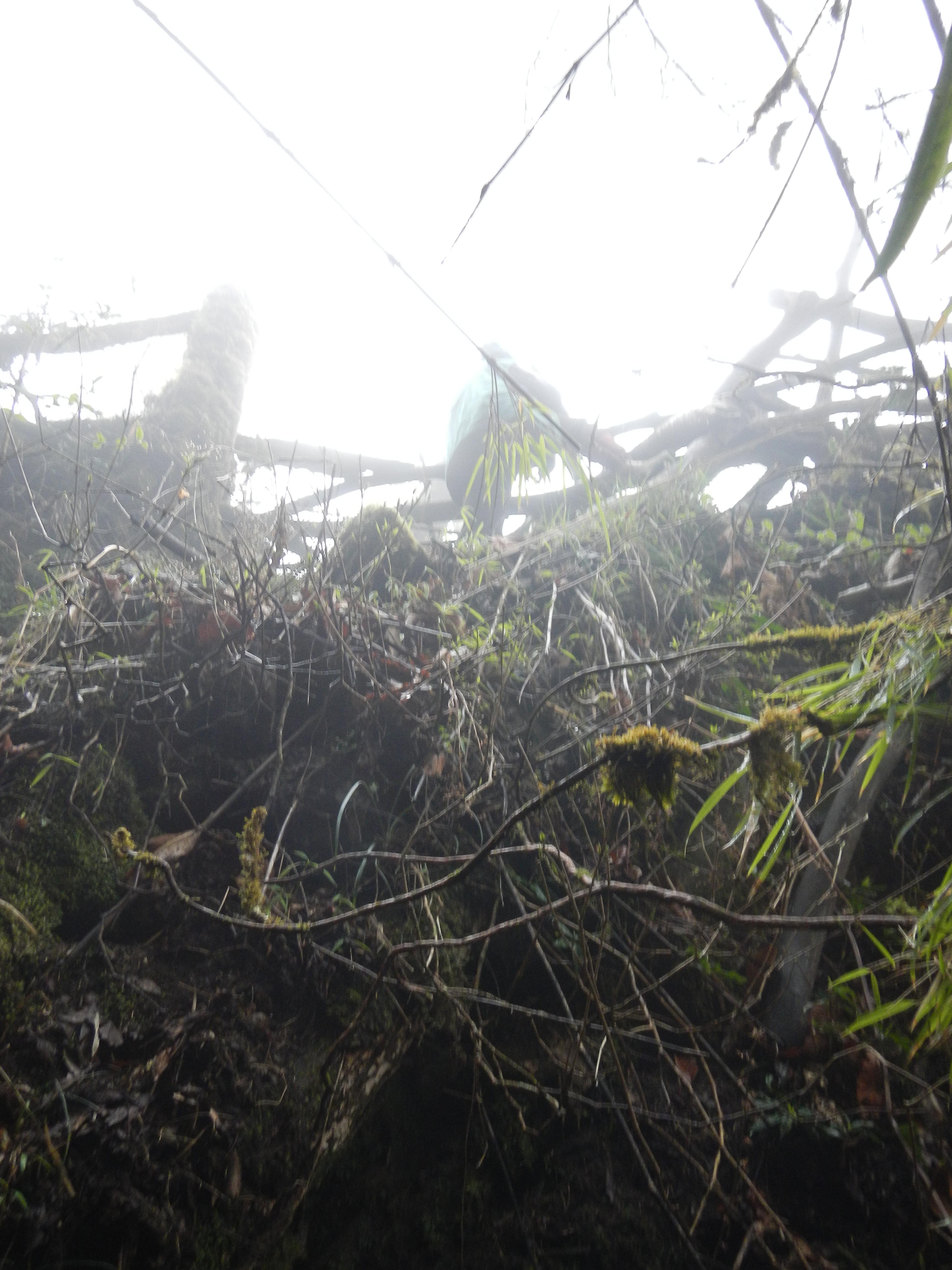
With the Lumbha Sumbha Pass now ticked, I was a happy man and felt ready for anything. The next section to the Arrun River however, was also a concern for me as there was at least 12 hours of walking through the trees using poor mapping. These fears became a reality. The map was in adequate, the paths were misleading and the weather closed in early yet again. As a result I ended up being lost in the trees for two days without seeing anyone. Although I remained calm throughout, by the third day I was anxious. II was really concerned about losing time and messing up so early into the trek.
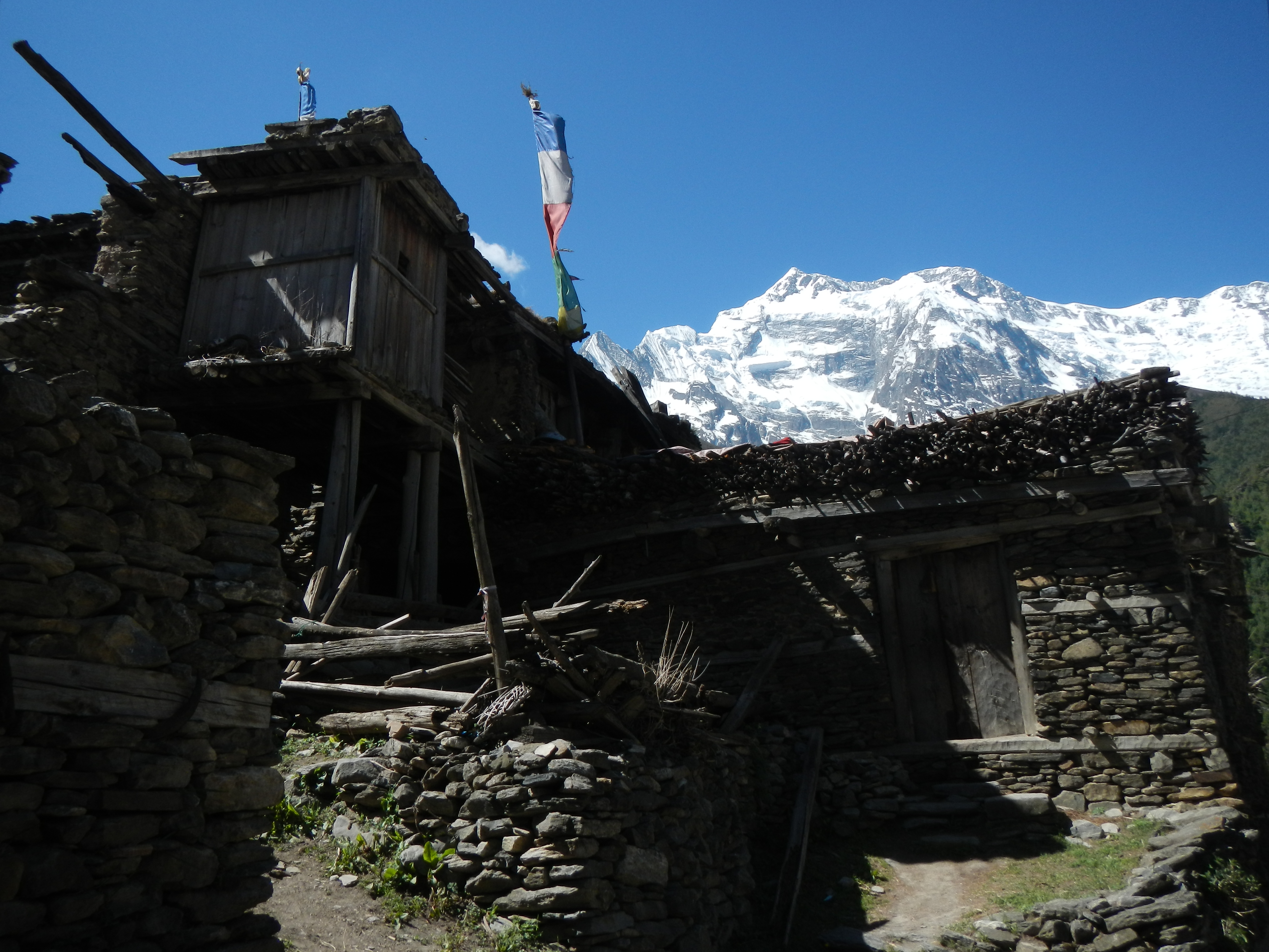
The traditional Sherpa village of Thudam.

The morning after the night before – After getting caught out by a heavy snow storm walking through the dense trees this was the only place I could find flat enough to put my tent. Thankfully it was sheltered too.
Morning view of Tibet from a ridge-line the Kanchenjunga National Park on the way to the village of Chyamtang
Thankfully, I managed to find my way out after negotiating a steep re-entrant and in doing so met a Nepali family who were heading to Chyamtang; the same village I was heading for. Perfect. A local guide. It is one thing being on your own and making friends with people quickly to gain their trust and support and it is another being a complete foreigner in the middle of no where and trying to do the same. It wasn’t easy but it worked. I tried my hardest to explain that I was lost in the trees for two days but I don’t think they understood me. After a 14 hour journey through yet more bad weather we arrived at their village in the pitch black. The end of the day was so very typical of the kind hospitality of the people in the remote areas of Nepal. They invited me to stay with them in their home, where we drank tomba, eat dhal bhaat and talked as best we could in simple Nepali before a well earned rest.
ARRUN VALLEY
Sadly after my stay at Chyamtang village I could not continue west through Makalu as the passes here are too technical for a solo trekker. My journey to get Sagarmatha National Park via the Arrun Valley took me over some very steep hills, rough ankle breaking paths and occasionally through thick jungle. It was my first introduction to leeches too, which wasn’t helped by the continuous rain from 1300 onwards, making life that little bit more difficult.
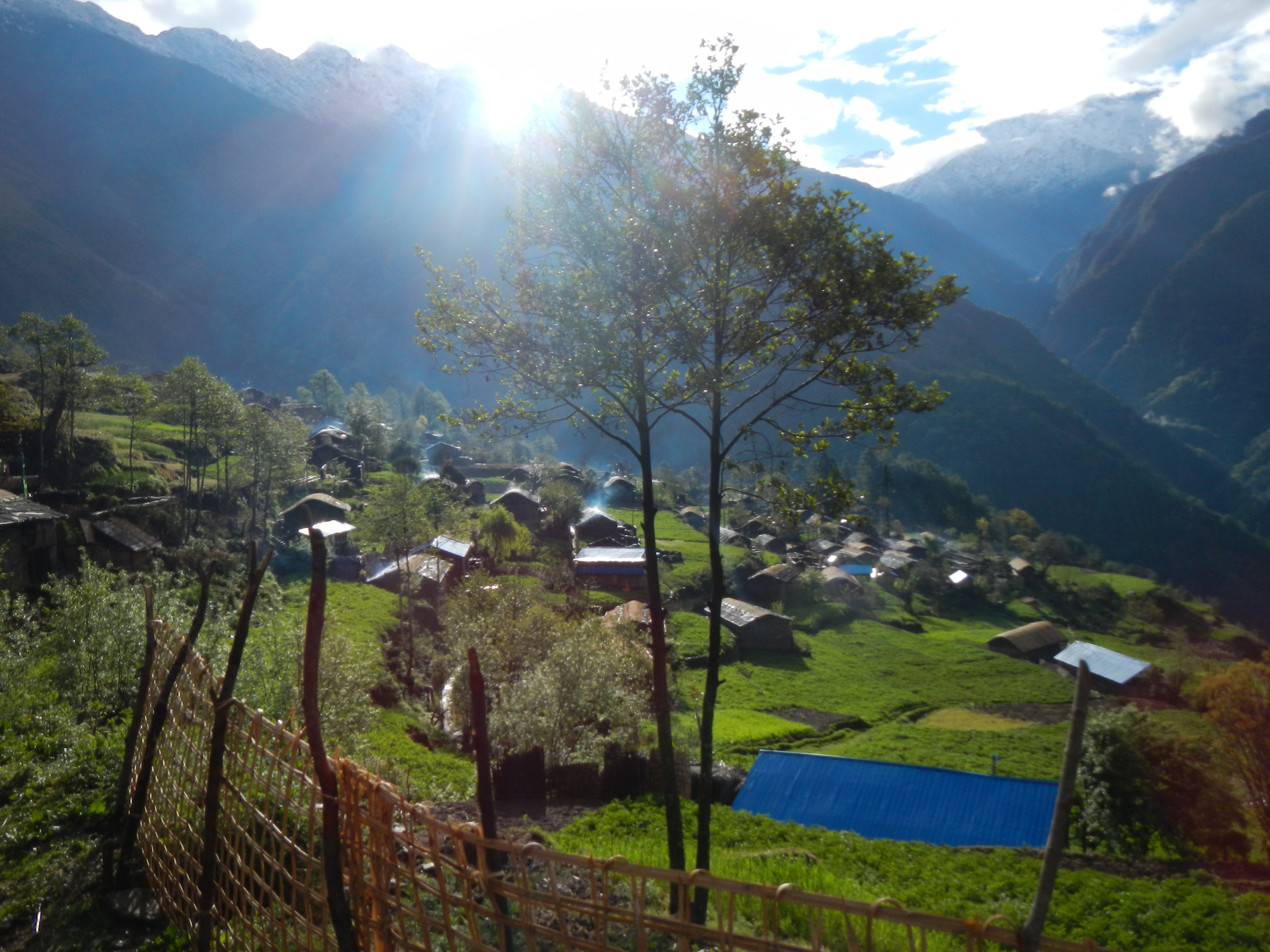
The very friendly village of Chyamtang in the northern part of the Arun Valley. After spending 5 nights wild camping int he moutons this village was a welcomed change.
Finally heading out of the mountains as I walk south along the Arun Valley on the way to the Everest Region.
The Arun Valley is an enormous feature with villages at random locations along it. I took a route through the village in the foreground and then walked over the incredibly steep hill in the background to continue my route south along the valley.
A storm rolling up the Arun Valley as I was heading down.
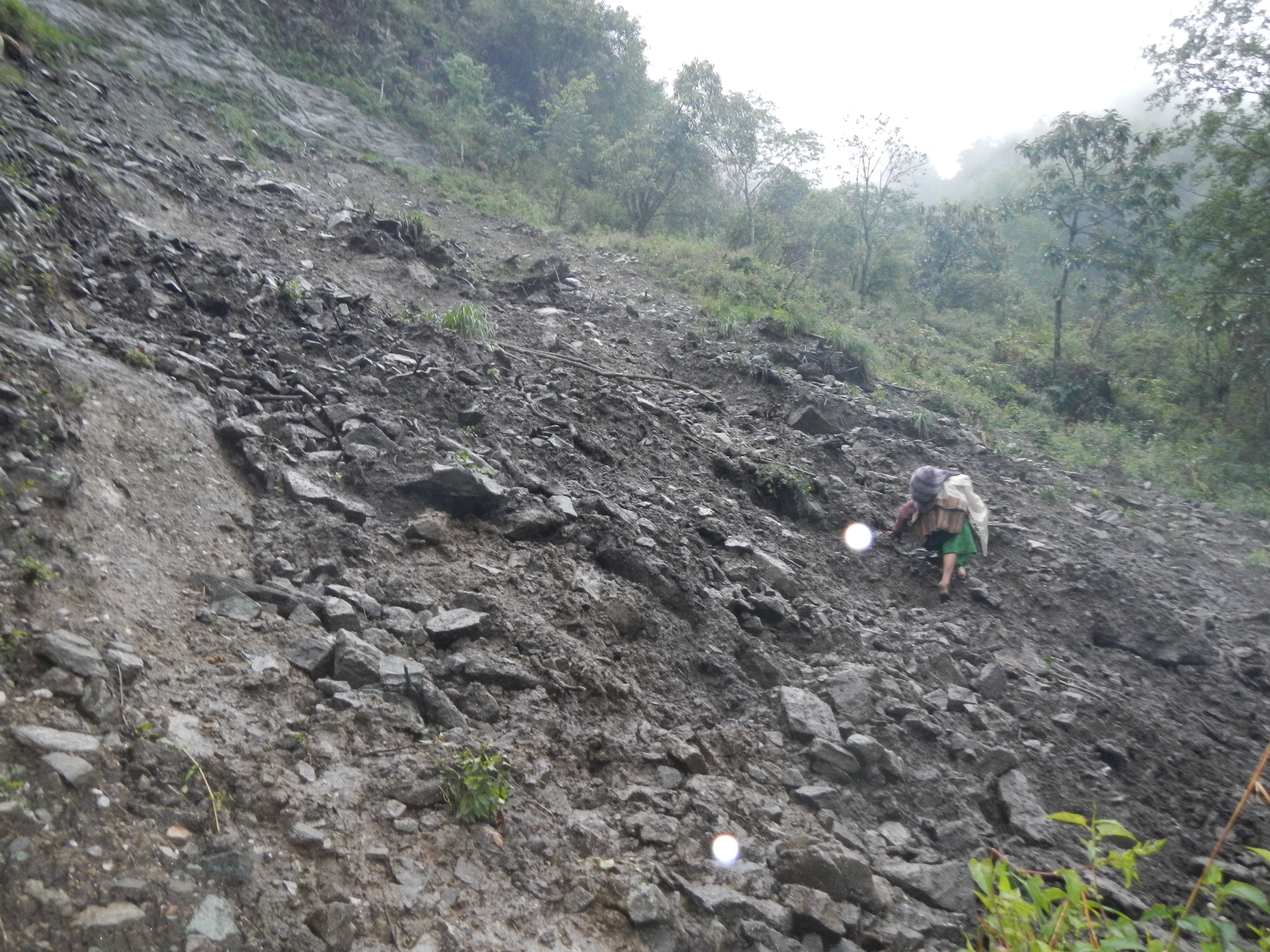
An old woman negotiating a track that had recently been hit by a localised landslide.
Throughout the journey I quickly realiszed that good and bad luck was very much like Yin & Yang. They would bizarrely follow each other; something bad followed by something good. The ‘Yin’ – Half way down the Arrun Valley through the thick, humid jungle as the light was fading, I had to cross a small bamboo bridge. Halfway across it gave way and in a fit of panic I clawed at the rock beside me to prevent me from falling through it. The Yang – as I fell out of the jungle into a clearing covered in leaches, I was met by a small Rai man walking his cow. Within 2 mins of talking to him he had agreed to let me stay in his bamboo hut overnight to get out of the bad weather. This selfless hospitality from people who have nothing never ceases to amaze me.
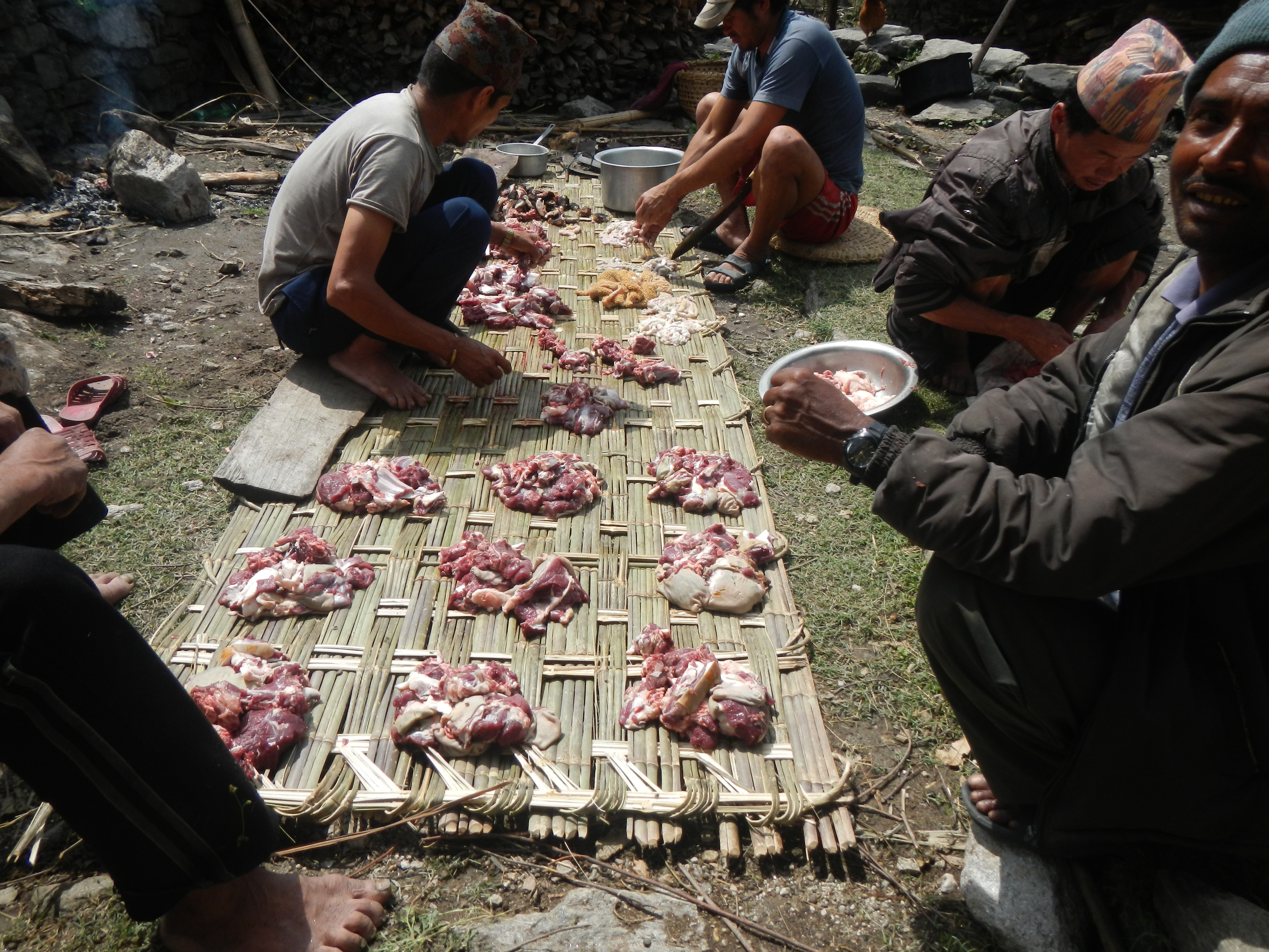
Fresh goat…….love it.
A social early lunch. Sadly this was a one off.
A small bamboo hut in the middle of the jungle at the edge of the Arun River. After getting caught out by another storm the farmer was very kind and let me stay here overnight.
MOVE TO THE SAGARMATHA REGION
After 17 days of hard walking (including getting lost) I had finally arrived in the Sagarmatha region. The land of comfortable guest houses, mouth watering foods and internet! As great as this was in the short term, I quickly got tired of it. I liked the feeling of being where very few people had been, alone, speaking in Nepali to genuine locals in their own homes. I felt out of place. Hundreds of tourists wearing clothing which were was far too advanced for anything they needed them for, all of them talking about how hard their own little Himalaya adventures were.
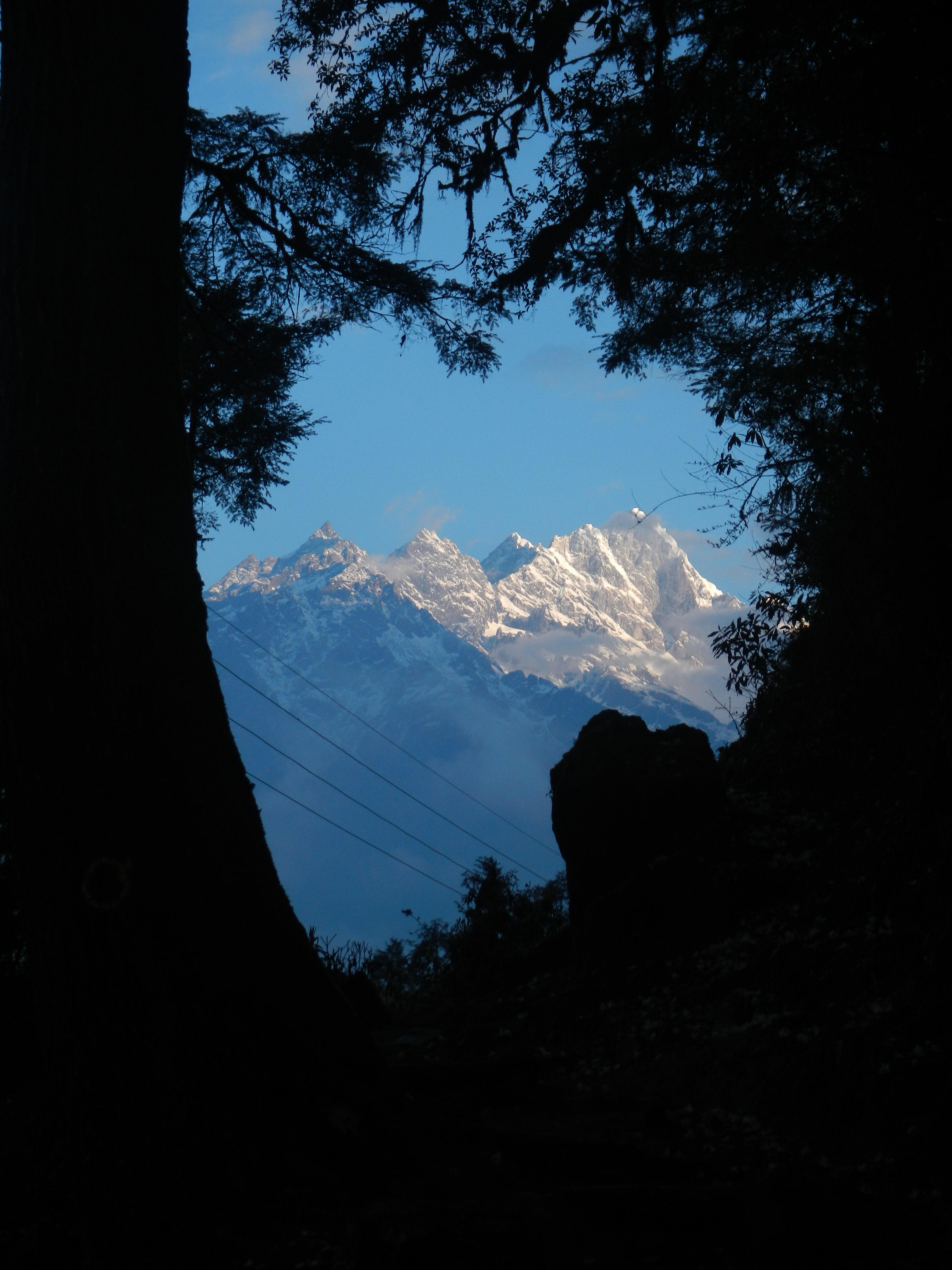
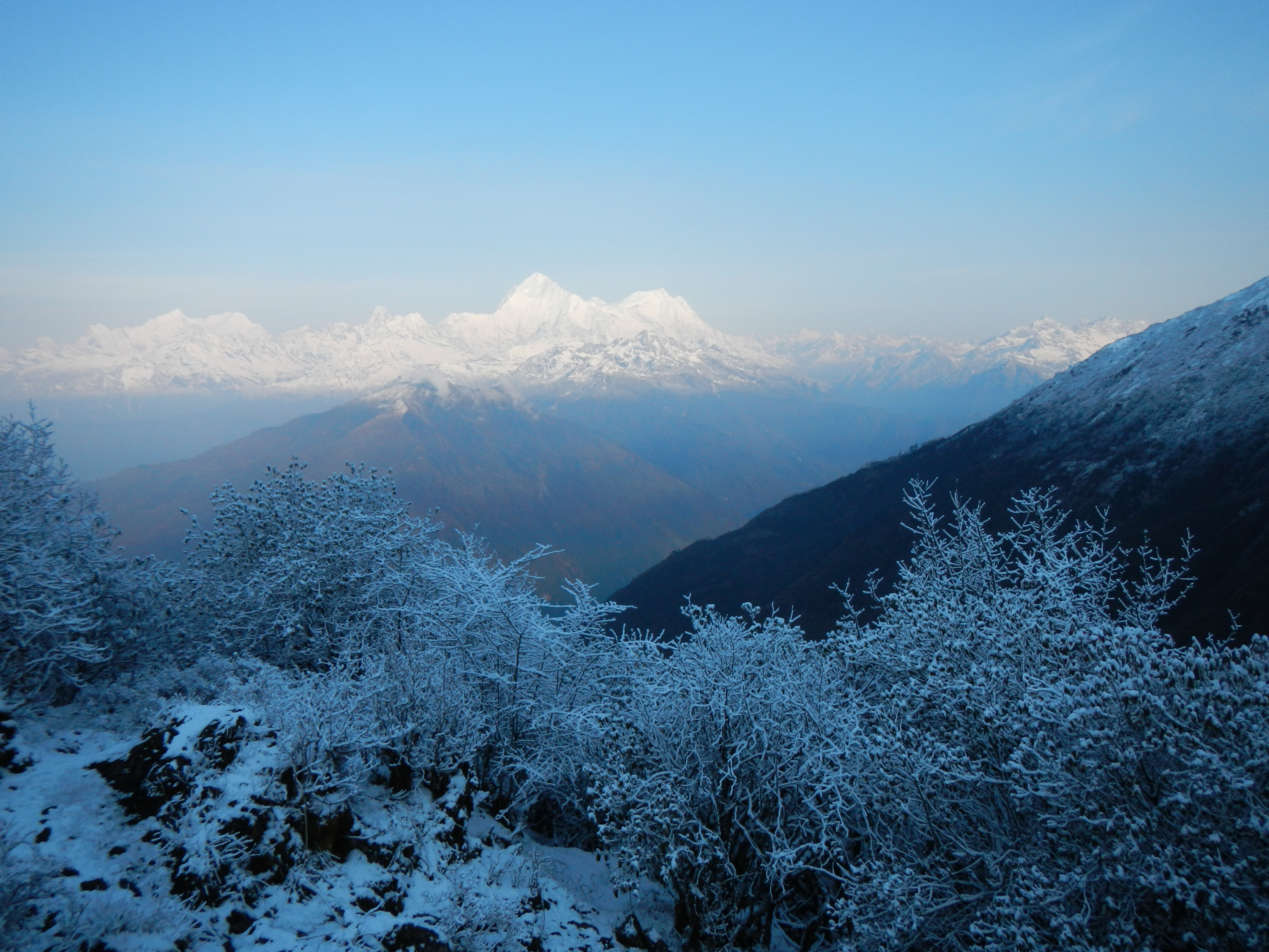
A glorious sunrise on the way into the Everest Region
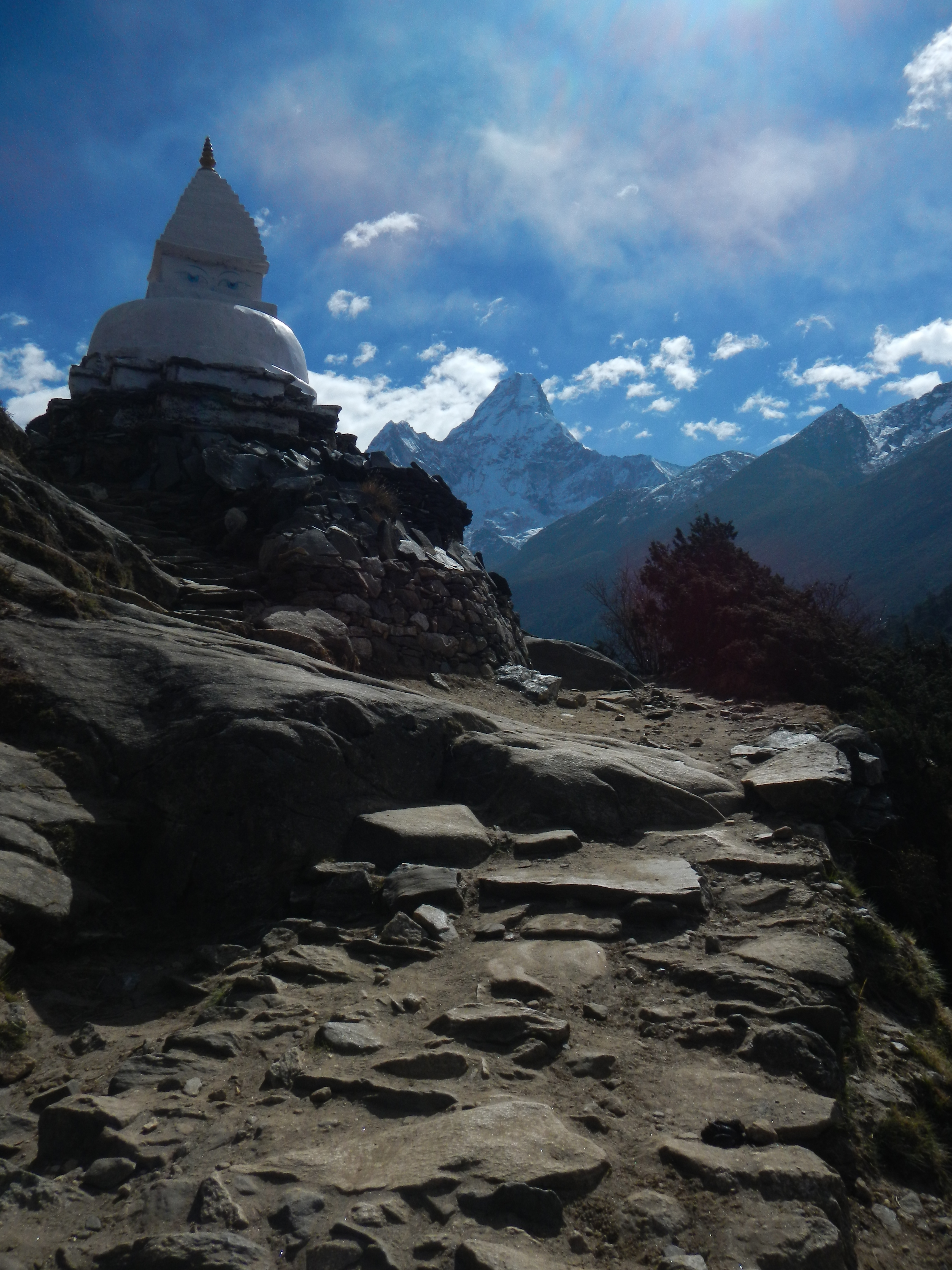
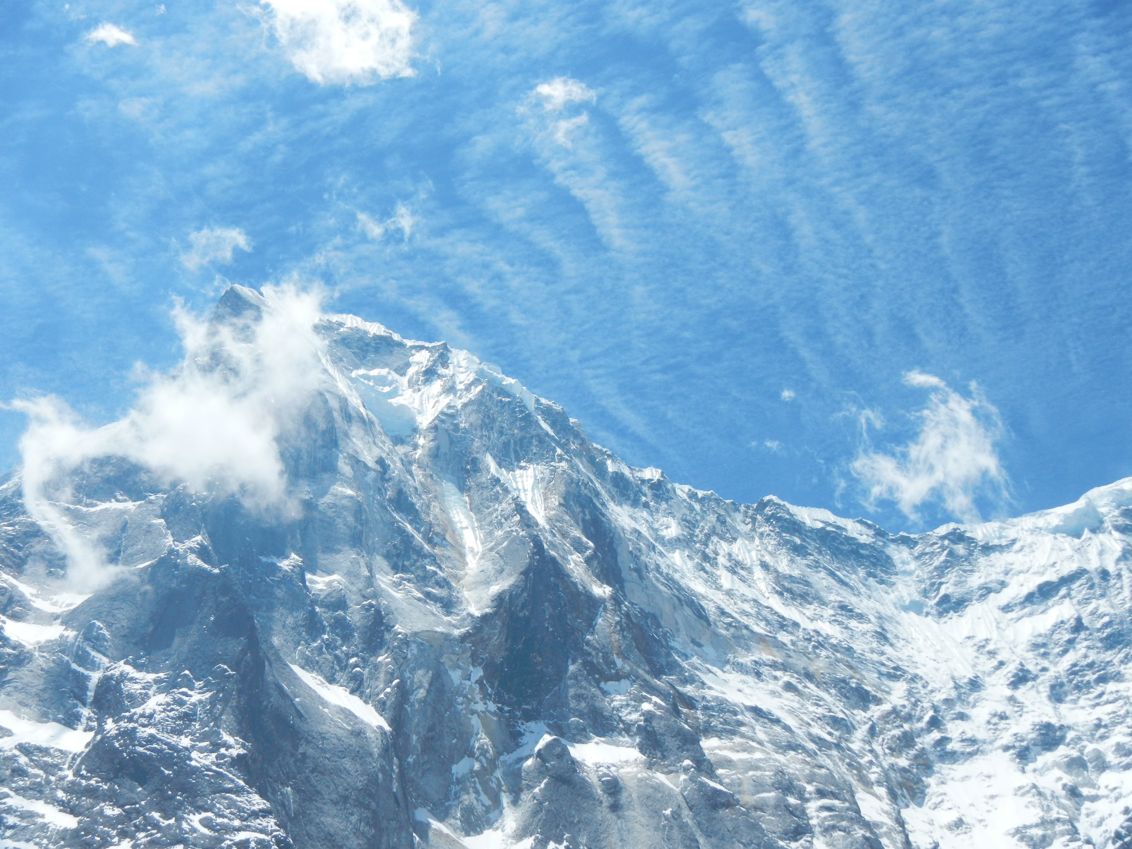
Ama dablam (6818m)
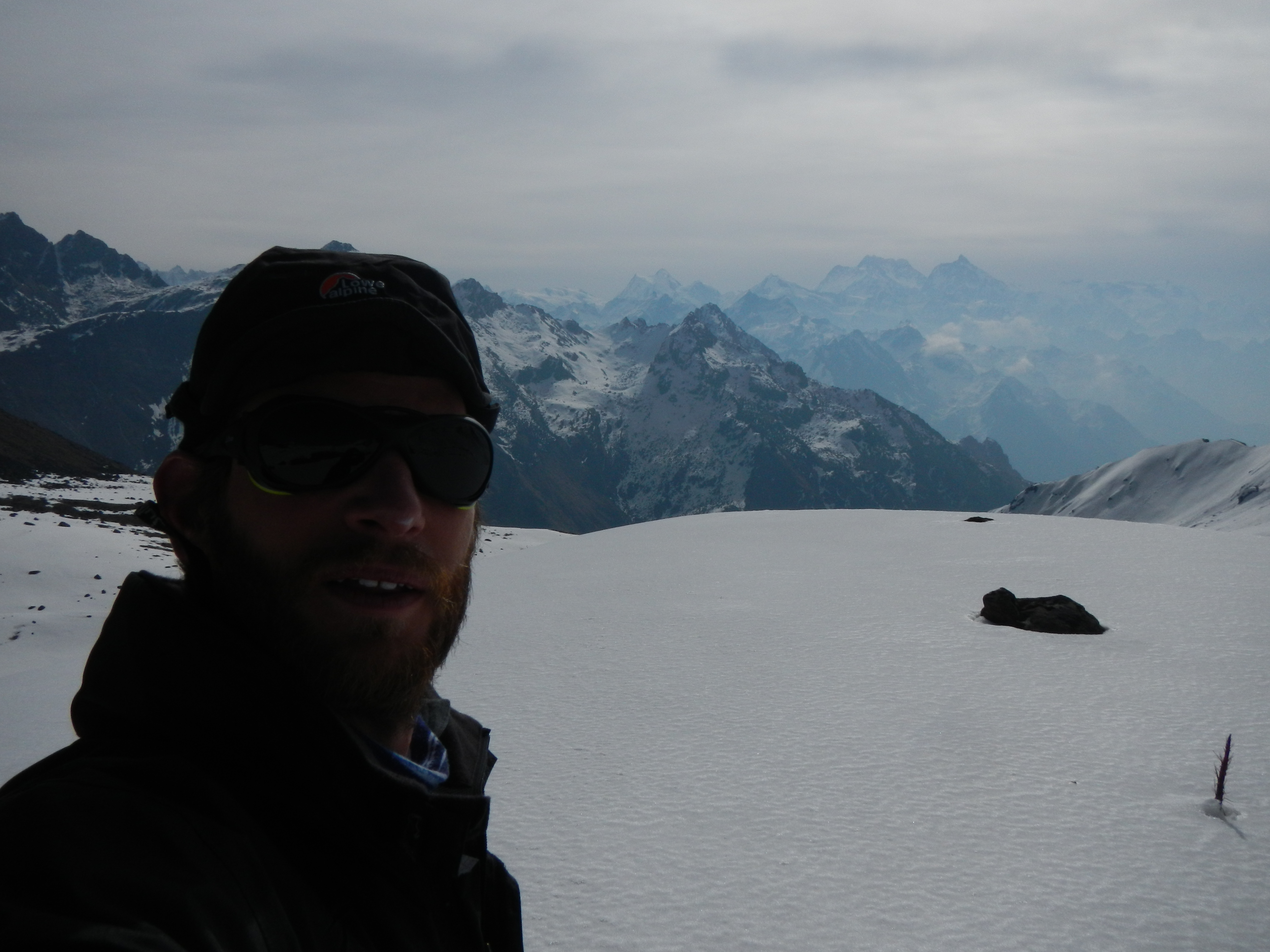
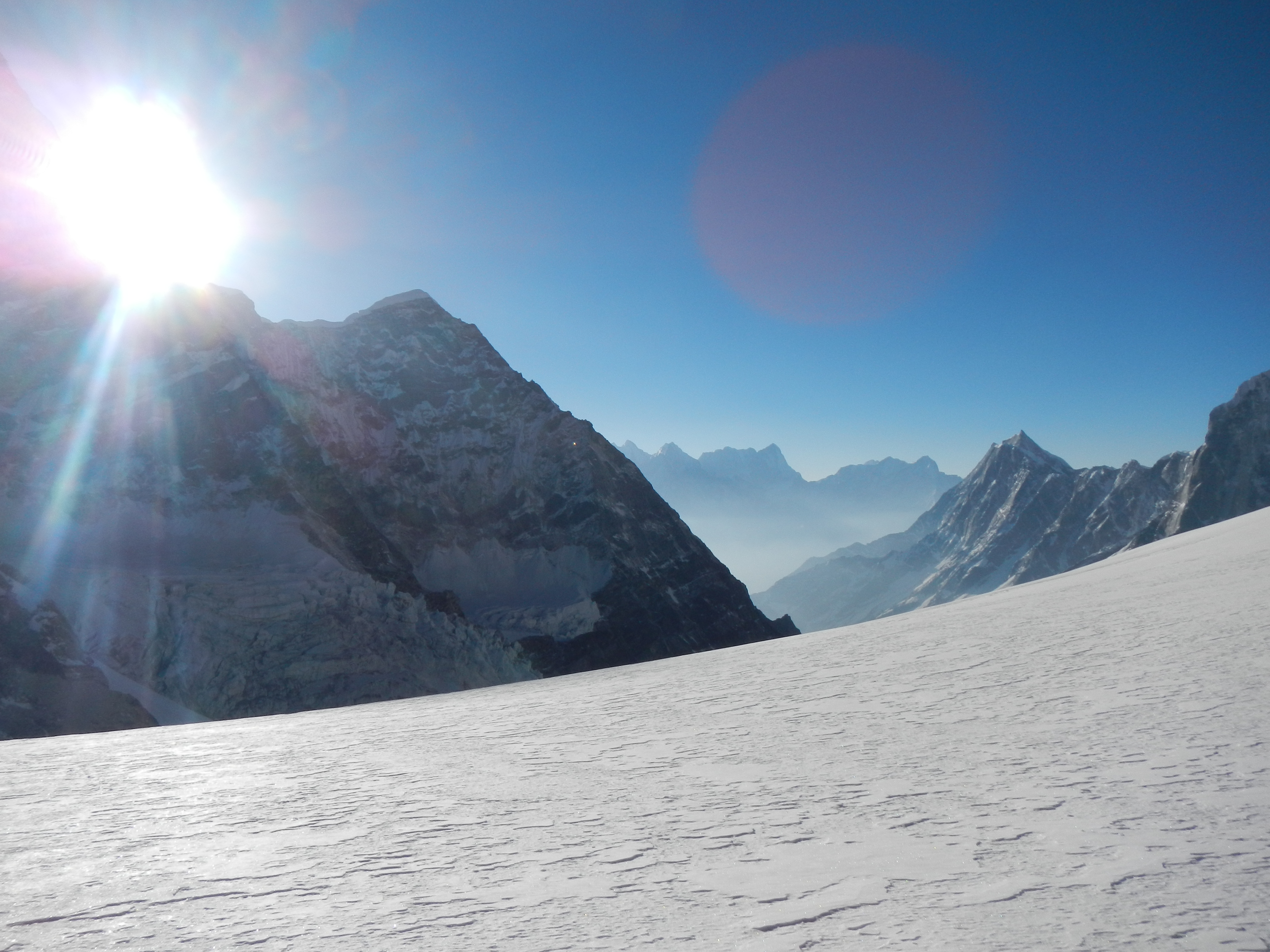
I kept myself to myself during this phase, partly because I wasn’t interested in listening to some of their ‘war stories’ and secondly because I had now spent a reasonable amount of time on my own, I actually enjoyed my own company. A sign of a true introvert. One thing was for sure, I was starting to really notice my fitness getting stronger but also the weight dropping off rapidly. Although I complain about some of the people on this trail and the luxuries, there is no denying it that this area has beautiful scenery. The views from Kala Patthar (5550m), Cho La (5420m) and Renjo La (5360m) are breathtaking and worth the visit.

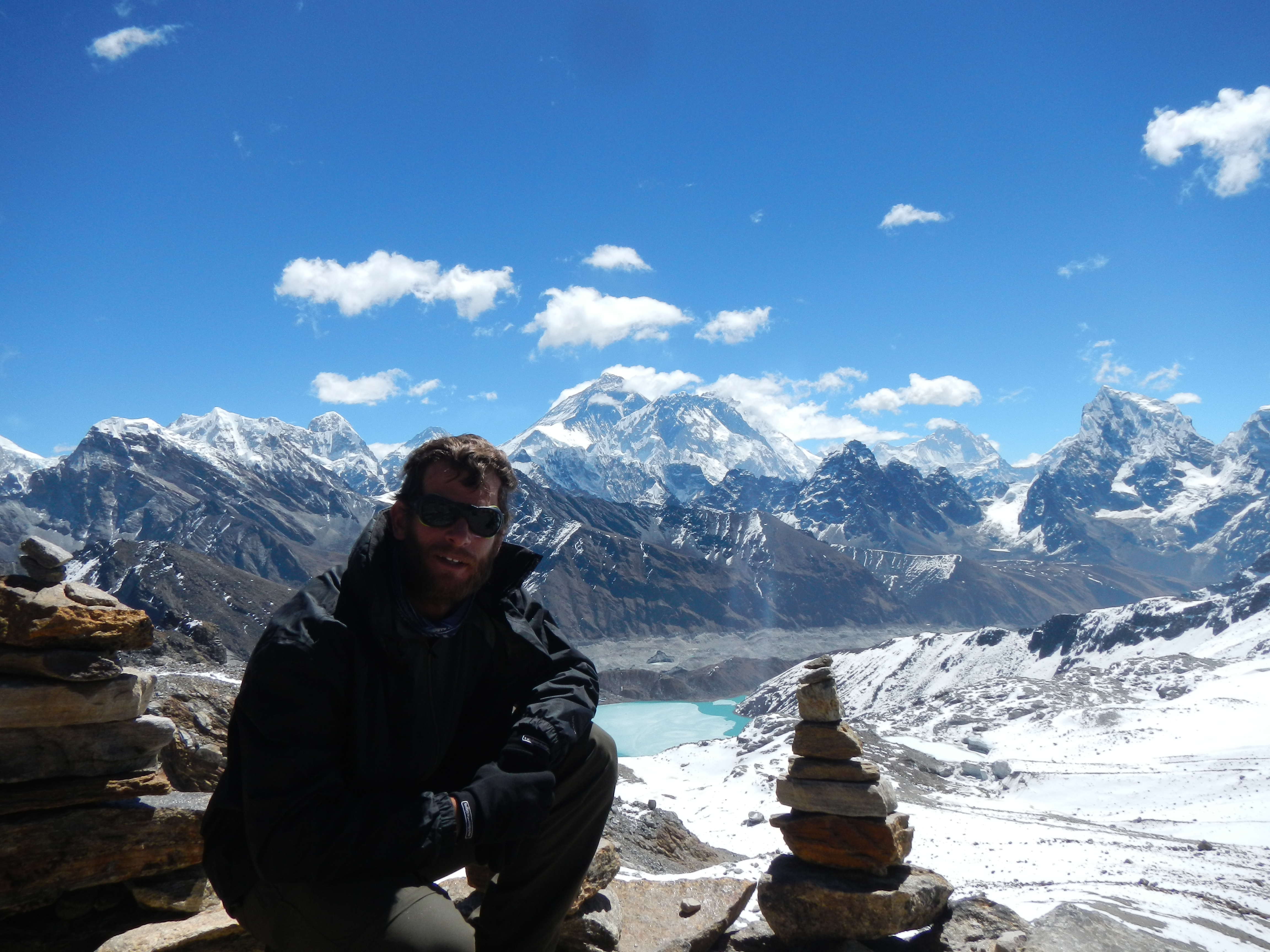
At the top of Kala Patthar (5555m) looking directly at Everest (8848m), Lohtse (8516m) and Nupste (7861m)
The route to the Cho La Pass 5421m.
The view down from the Cho La Pass 5421m.
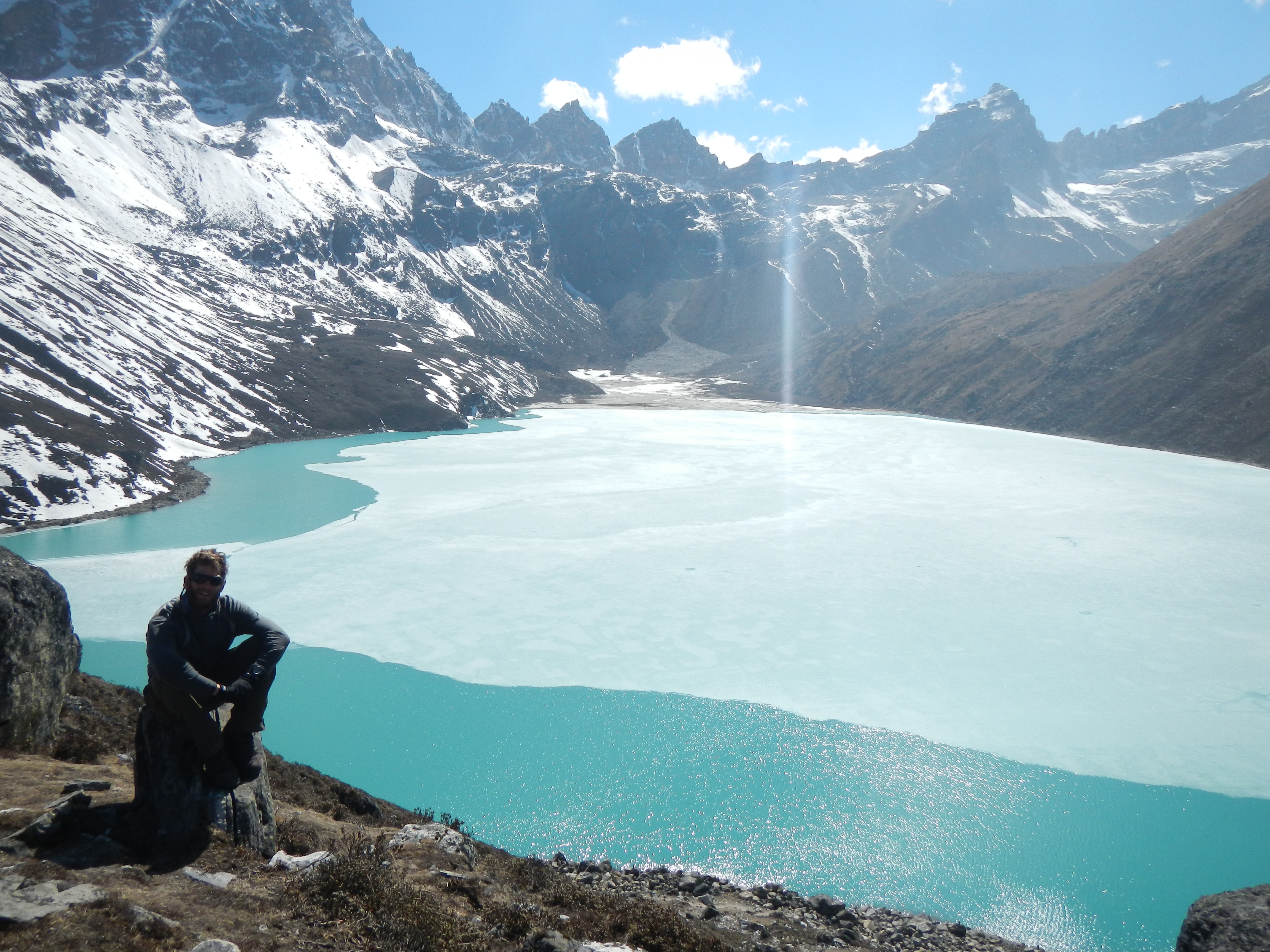
The sacred green glacial Gokyo Lake.
The view from the Renja La Pass (5345m) looking towards Everest in the background.
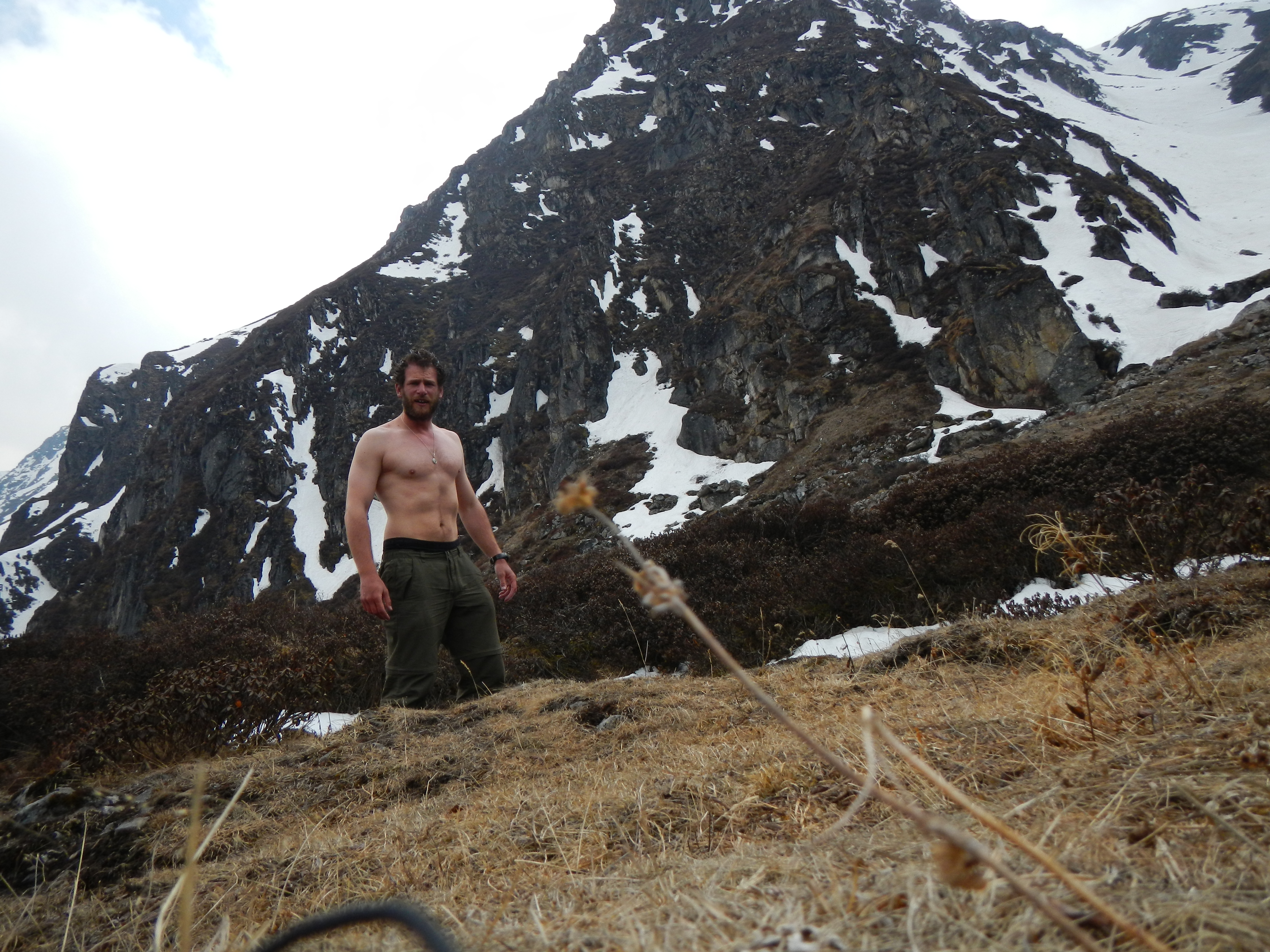
After one month of trekking through the hills I am starting to look a little bit on the thin side
TASHI LABSTA
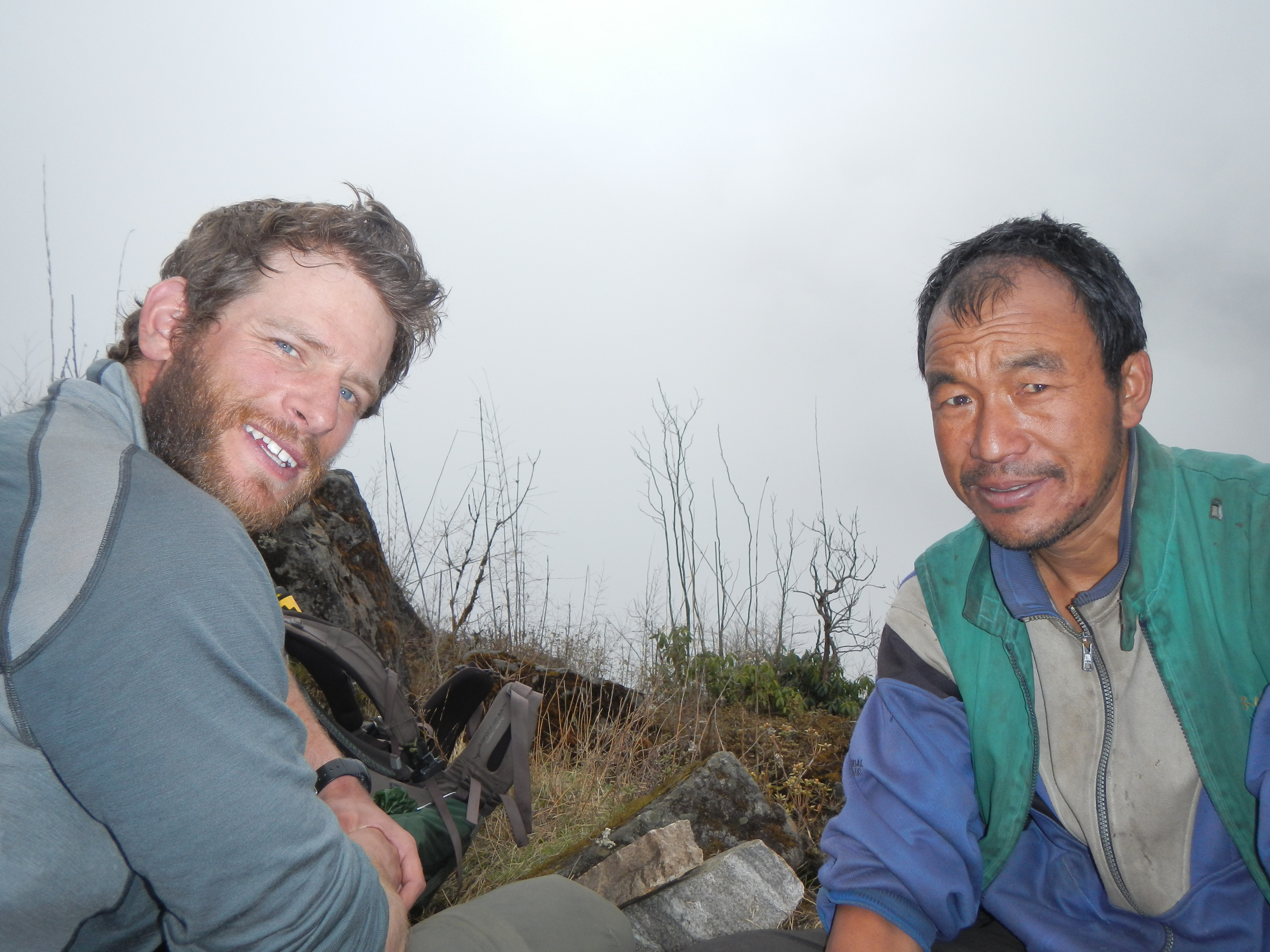
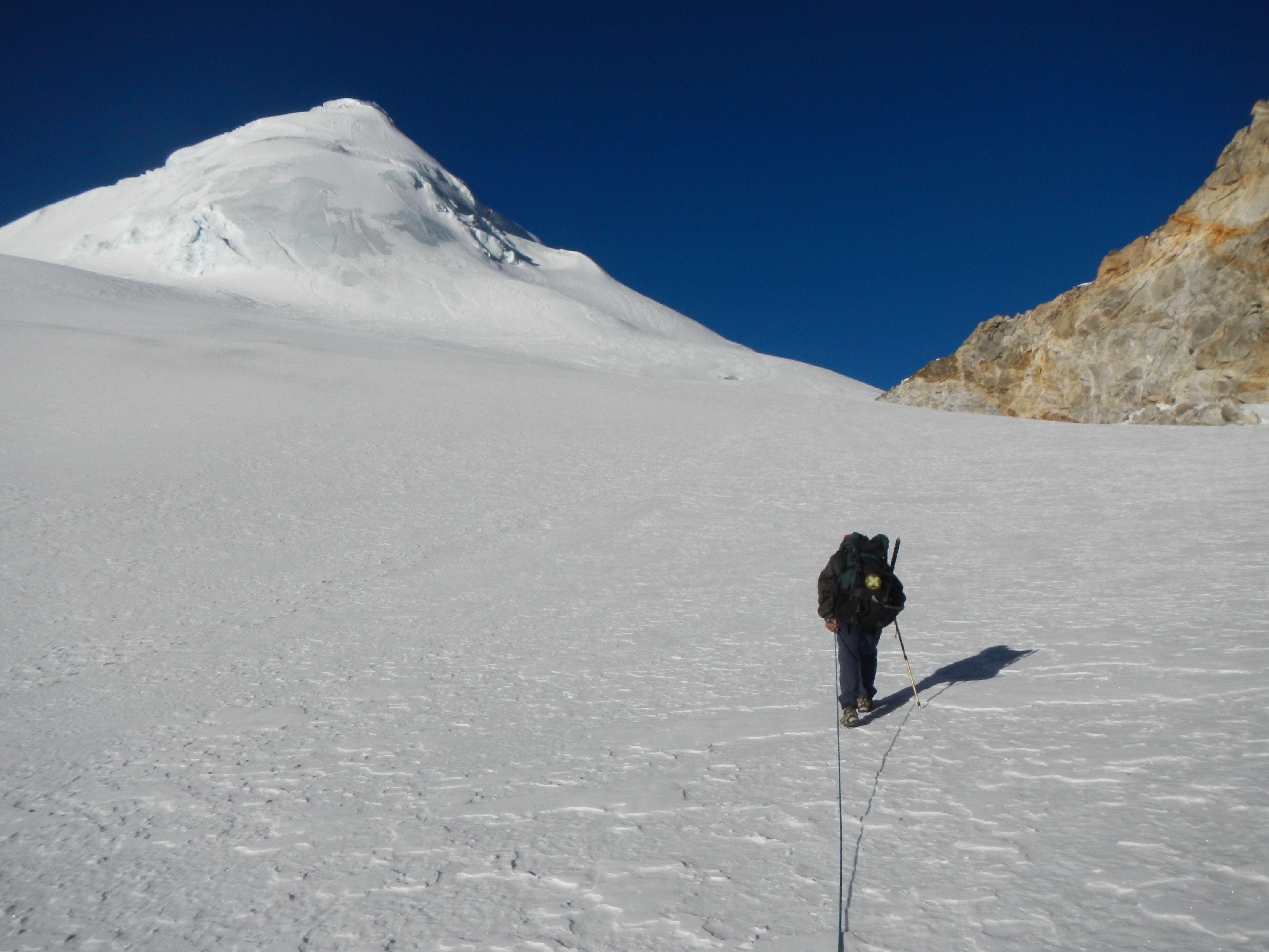
The Tashi Labsta (5760m) is the pass which separates Everest Region from Rolwaling. I knew that realistically I would not be able to do this on my own because I didn’t have the equipment or the correct mapping. Although it went against my original plan of being ‘solo unsupported’, I decided to hire a guide to cross it. This wasn’t an easy decision. I really didn’t want to hire anyone at any stage, however, I knew it was an amazing pass and one which I probably wouldn’t get chance to do for a long time. After my first and only admin day on the trek we sorted kit and planned for the next day.
An amazing day as I walked towards the Tashi Labsta base camp.
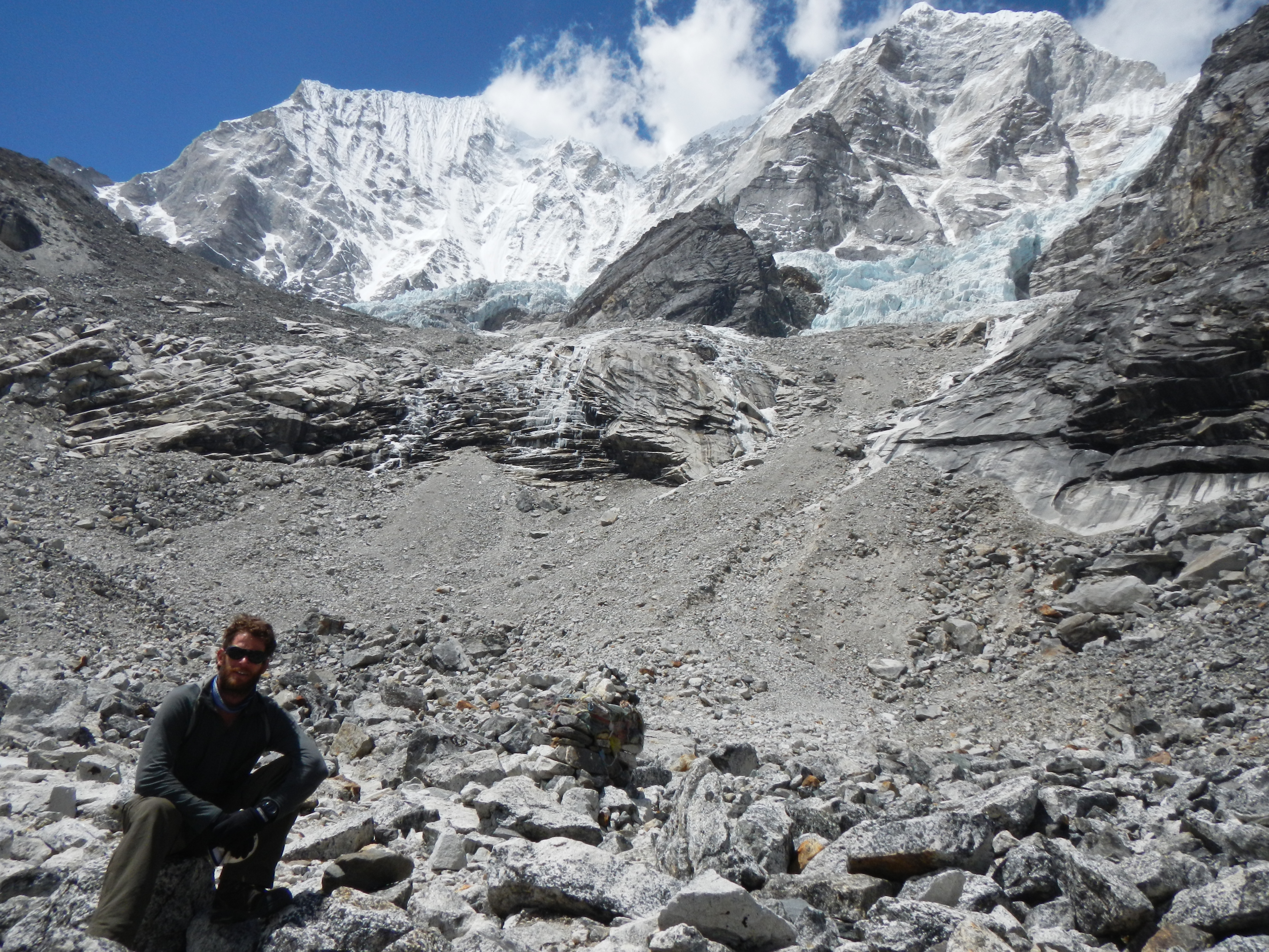
I was not disappointed. It was hard work getting to the pass camp, a great bivvy underneath a large boulder andbut the scenery was phenomenal. After a 0300hrs start on Day 26 (4 May) we made our way towards the pass. I have done my fair share of climbing however, this time my hands got very cold to the point that they were in excruciating pain even with gloves on (although not thick ones). I had to stop many times to try and get the blood back into them as the icy wind cut through me. Even though the sun was rising slowly we were constantly in the shadow so it didn’t matter. I was cold and I was going to remain cold (the was) until I got up and over the pass.
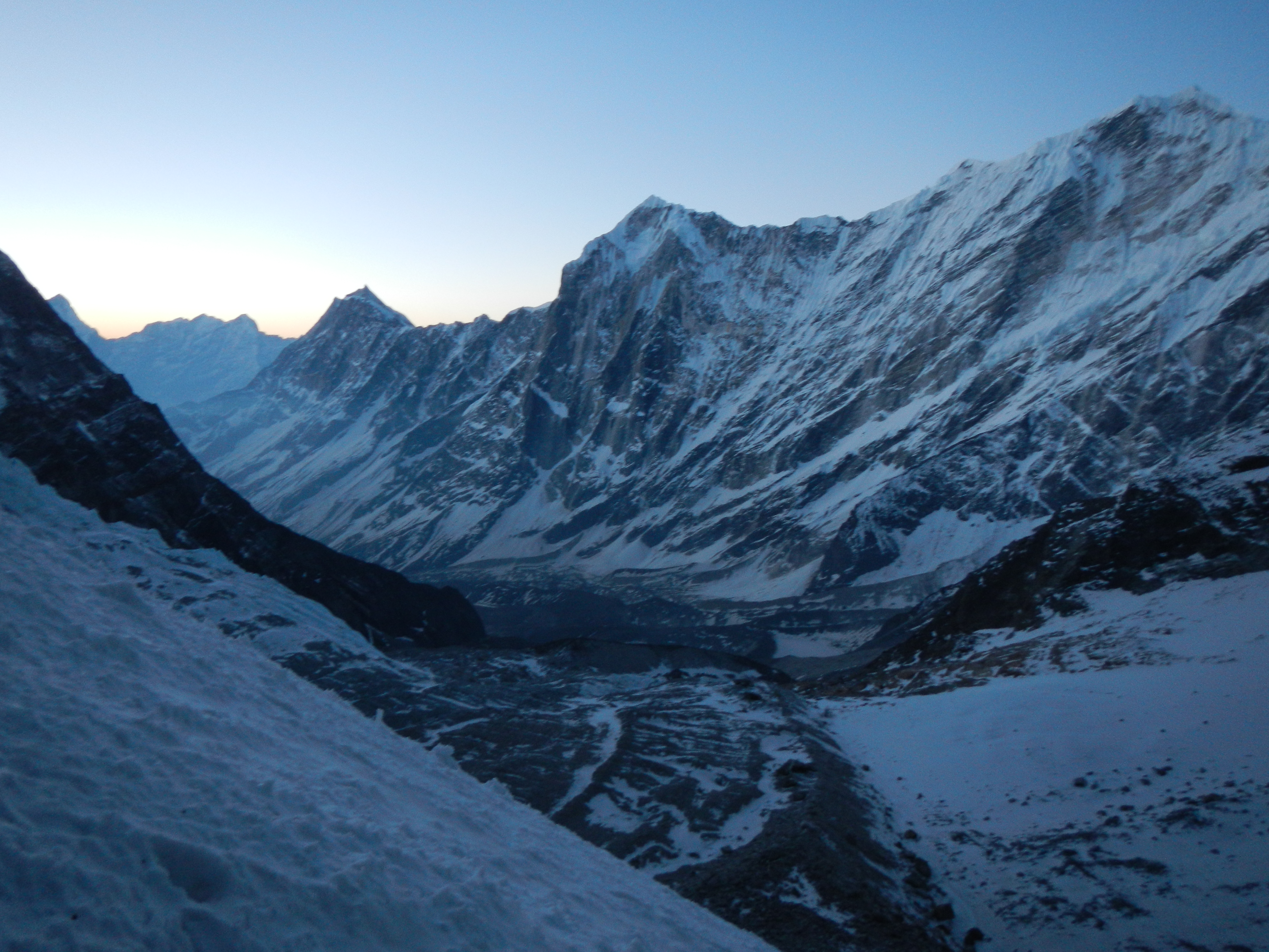
Looking up the valley towards the Tashi Labsta Pass (5760m) and the base camp
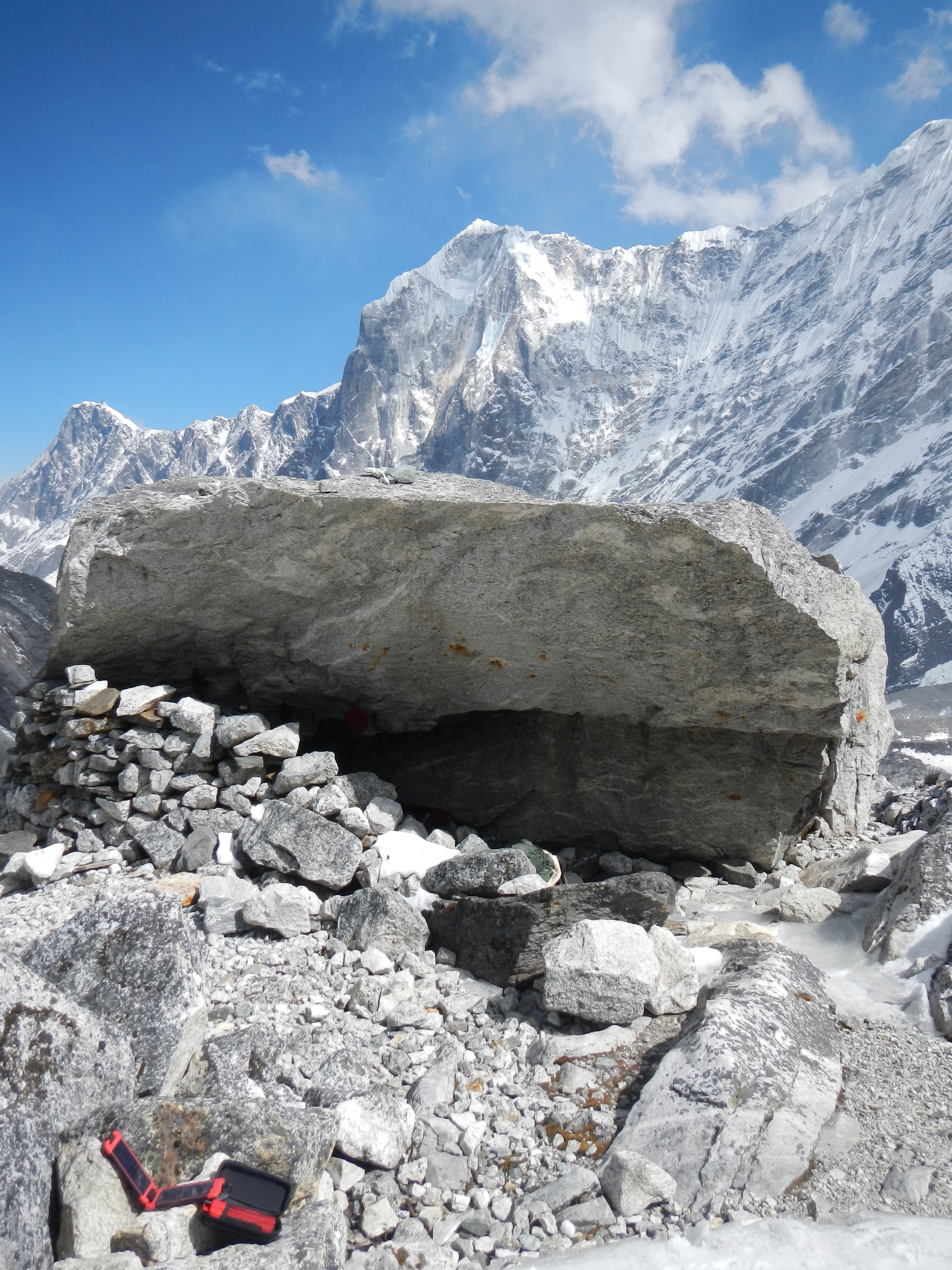
Tashi Labsta base camp which is small space underneath a large boulder
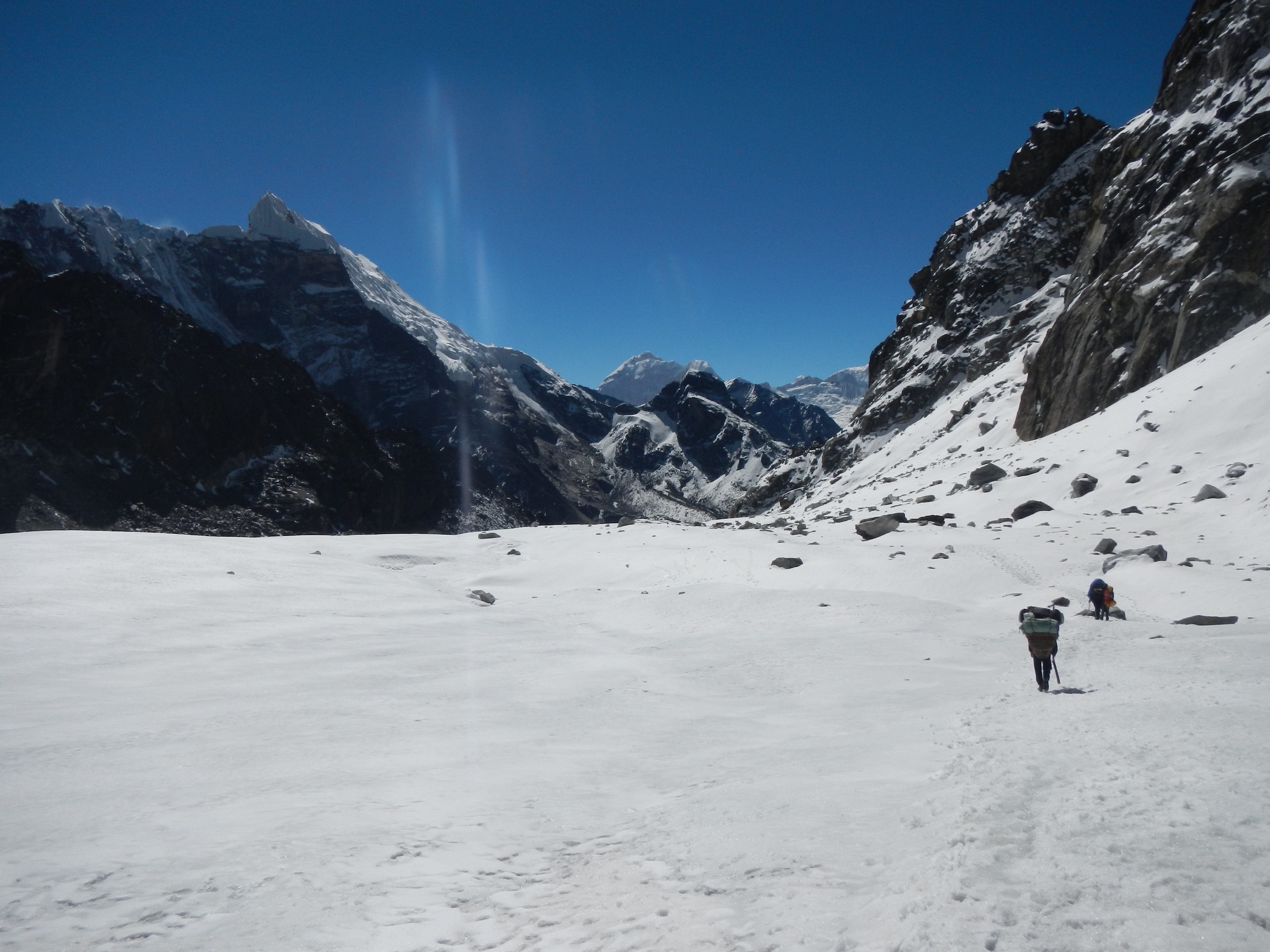
Even with the pain it was completely worth it. The feeling of walking over the pass and seeing the enormity of the Rolwaling valley on the other side was mind-blowing. In many respects the hard work had yet to begin. There were still two glaciers to negotiate, a 200m near vertical descent from one to the other then a 7km walk over demanding glacial moraine before an onward journey to Na Goan. This place was dramatic and was truly Himalayan. The creaking of the ice and falling of rocks within the valley gave this section a unique and remote feeling, however, the ‘two steps forward, one step back’ movement across the loose moraine becomes exhausting and frustrating. After a 14.5 hours day, we finally reached Na Goan. That night the food and ‘chang’ (or Sherpa juice as some call it) had never tasted so nice.
On the way to the Tashi Labsta Pass (5760m) early in the morning before the sun rises
The Tashi Labsta (5760m)
Looking back as I cross the Tashi Labsta Pass (5760m)
Crossing the icy Tashi Labsta (5760m) just as the sun has risen
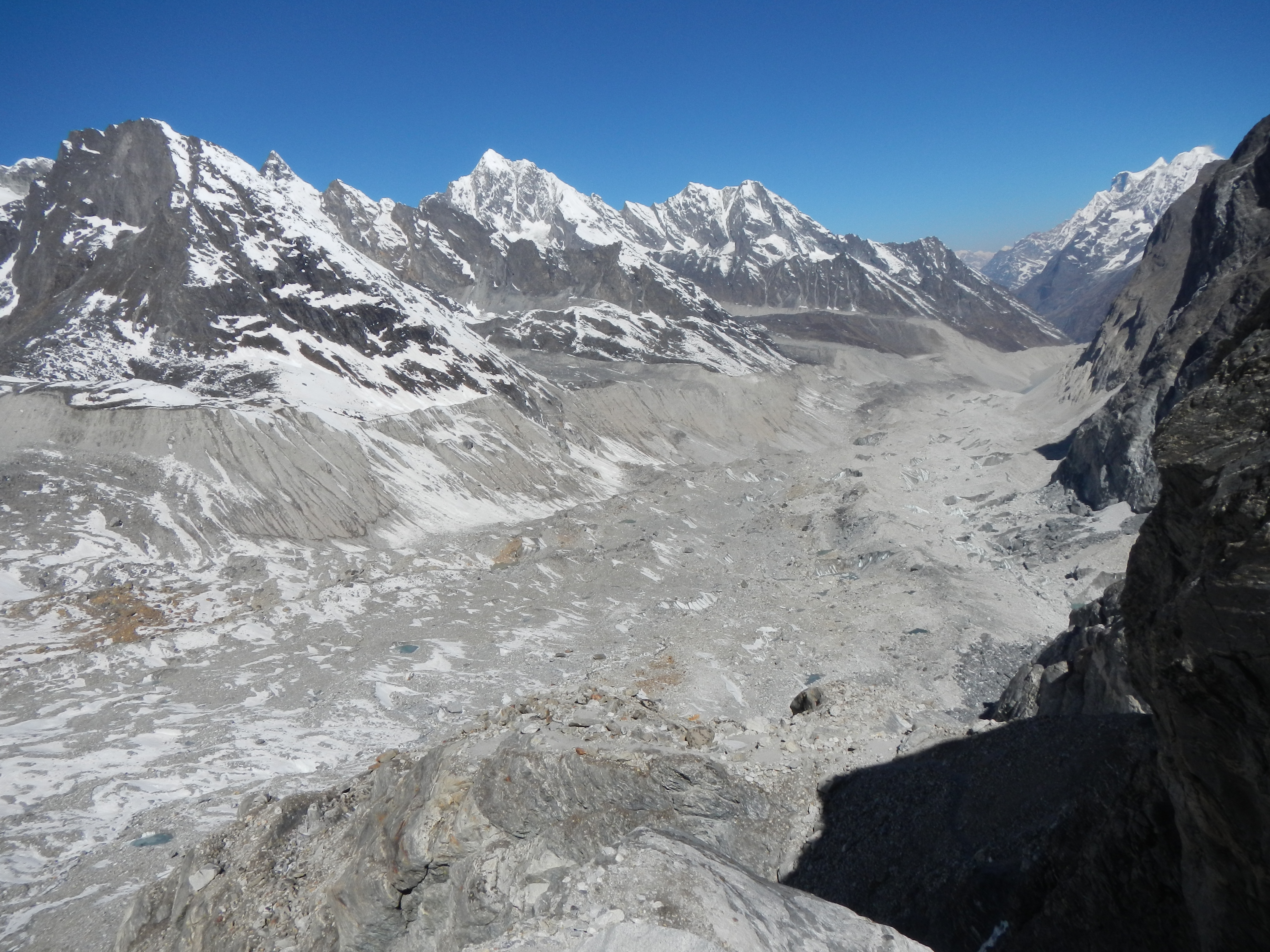
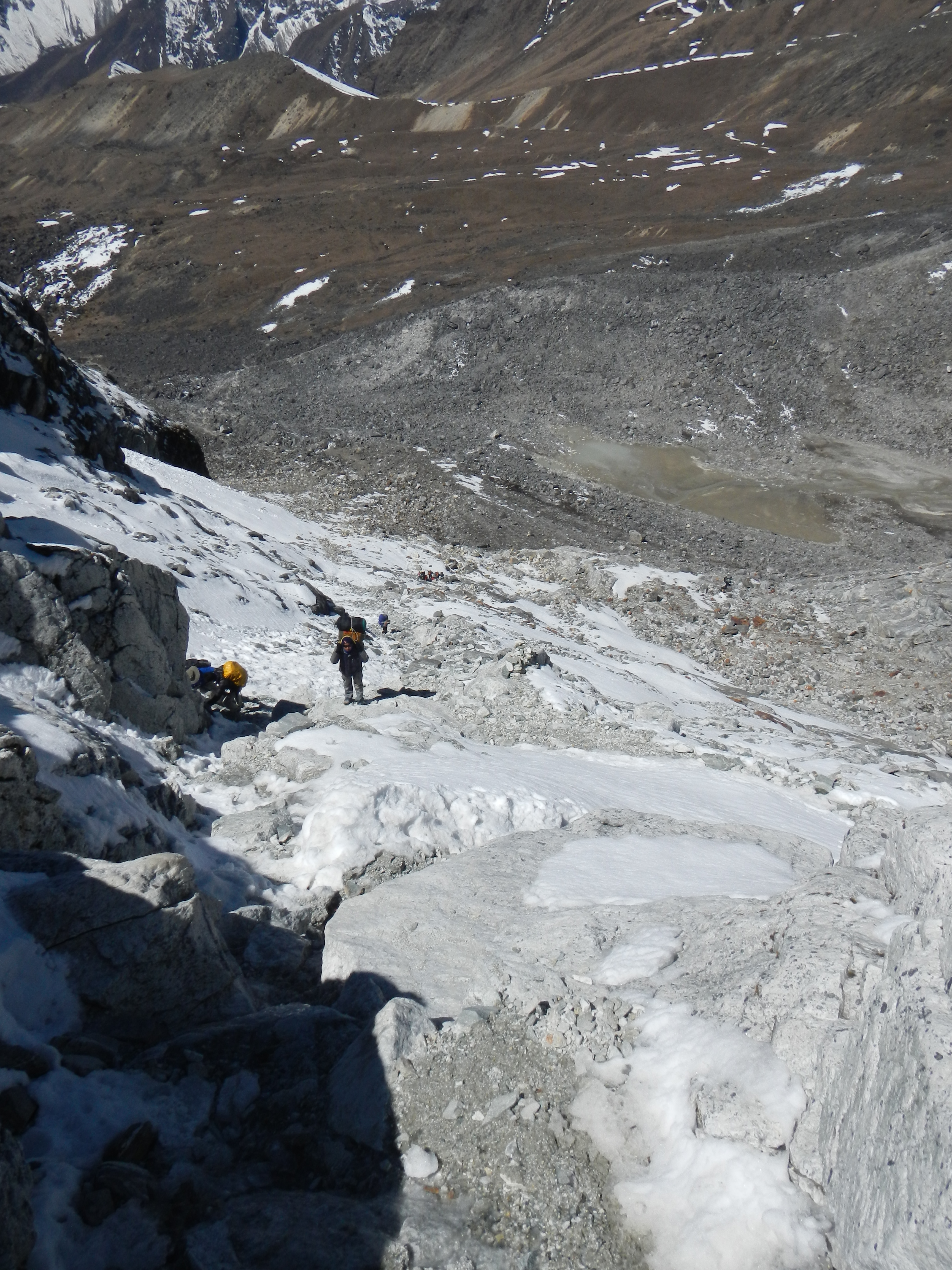
The second glacier that I had to negotiate once I had crossed the Tashi Labsta Pass (5760m) as I made my way to the town of Na Goan. It took 10 hours of hard walking and route finding to get there.
A job well done. After a 14 hour day we enjoy some local hospitality in a Serpa house in Na Goan.
MOVE TO LANGTANG
After spending 37 days walking through either the mountains or the eastern part of Nepal, the next six days through the lower part of Rolwaling, Gaurishankar Conservation Area and then through part of Helambu was a definite change in atmosphere, people, way of life and GHT experience.
I was warned by some Sherpa women in Simi Goan that my route would now take me through some less favourable places and that I should be careful. Although I took notice I thought this was the classic example of people not knowing or liking the people in the next valley or village, so I didn’t think that much of it. The route I chose now saw very few tourists. The people I kept meeting were very curious along every step, which is understandable but when you have spent so long on your own and have experienced more reserved people, this took some getting used to. The shouts of ‘gora gora’ or ‘query query’ could be heard numerous times, especially by school children and young adults, many of whom were not concerned to come up to me and try and make themselves look big in front of their friends. People are people, no matter where they are in the world and kids will be kids. However, when you are on your own your senses are heightened significantly. I could hear, see and smell things at far greater ranges than ever before especially when going through villages. It’s strange, but I could see peoples’ movements clearly out of the corners of my eyes as I worked passed them, even which way their eyes were looking.
The most bizarre day came on Day 41 of trekking (9 May), the day after I had a great night with Khil Thapa in Bharabesi. The day was ridiculously hot and the trail was challenging to find. Pleased with my performance and confident for the next stage, I was nearing the end of the day when I was about to go through the trees for the last 3 hours of the day when a Tamang mother and daughter met me on the track. In true style I would always greet people first as soon as I saw them, no matter how far away they were. They seemed annoyed. They asked me repeatedly and bluntly where I was going, what I was doing and where my friends were. As these were questions I received multiple times daily I thought nothing of it, until they told me that I couldn’t continue on this track because drunken thieves had killed a man the other day. He apparently had his head and hands chopped off. To emphasise the point she kept shouting ‘manche mariyo, manche mariyo’ whilst doing a hand chopping action towards my neck.
Somewhat frustrated and a little confused, we talked more until some other local women came by. To get clarity I asked these women what has happened, which just made things worse as they all started arguing with each other then telling me to go back to Kathmandu where I belong. Slightly concerned and now more confused I negotiated myself a place to stay overnight in their village to give me time to plan what to do next. The experience that awaited me was an interesting one. The village was sadly full of men who mainly drank and smoked whilst the women worked hard for the home. Children were able to run riot and litter was rife. Although they never meant me no any harm, in fact they invited me into their home, however, when dozens of people stare at you and prod you whilst asking you the same questions repeatedly for hours on end it becomes a little unnerving. After being watched eating my dhal bhaat using my hands by virtually everyone in the village, whilst still being interrogated, it was finally bedtime. A night spent with the family animals and the drunk father was an experience I hadn’t had before, nor since.
The next day after being kindly ‘guarded’ by the family’s three sons we walked two hours to the next village. My journey through random villages continued for the next two days until I entered Langtang National Park. The scenery was tremendous, the weather perfect but the heat was like nothing else I had experienced. From drinking 1-2 litres of water a day I was now taking 7-8 litres, which creates big strains on the body. I was yet again told off by many locals in a caring way (most of the time) for walking on my own as they said it wasn’t safe. Just what you want to hear when the days before I was told I’d get my head cut off if I went through the trees!
The going through the mid-hills before heading back into the mountains. The temperature was around 30C. A bit too hot for walking long distances over difficult terrain carrying a 55lb rucksack.
LANGTANG – DHADING – MANSALU – ANNAPURNA
On arriving in Langtang I felt that I was really starting to pick up the pace, even after I was ill for the first time. The dismissiveness and concern by locals for my safety as I trekked on my own continued through Langtang and into Dhading. Each one always telling me that the next village or valley was dangerous and that I needed to either return or take a guide. One pastor from Gatlang very kindly said he would pray for me. I thought ‘thank you I need all of the help I can get!’
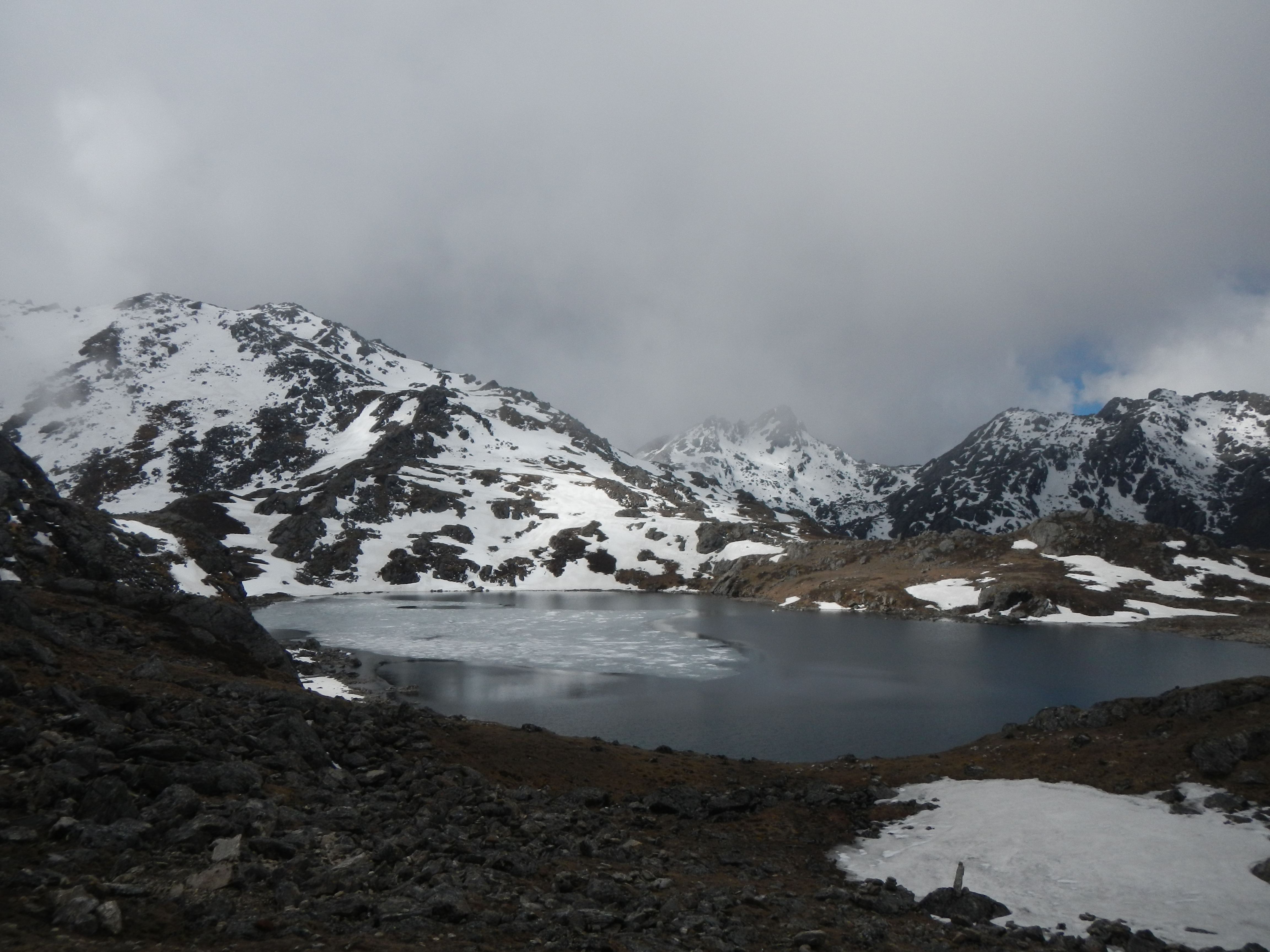
One of the many Gosaikunda Lakes

Me at the highest of the Gosaikunda Lakes
One of the most upsetting parts of my travels was when I walked with two locals from Samdong to Tipling. One was a young man with a family of four children, two of whom were disabled. Having told them I was doing some work for the Kadoorie Agriculture Aid Association (KAAA) and that they sometimes help people with disabilities, he was keen to introduce me to them. On arriving at his house where I was going to stay the night, I saw first hand the two very young disabled children and how difficult it was for the family to cope and survive on a daily basis. Things were hard now but as they get older life would only become more difficult. They both had deformed skulls and had brain damage so they needed full attention 24hrs a day. As much as they wanted me to do something, give them medicine or money, there was nothing I could do other than take their details and pass them to KAAA.
Entrance into the next valley. It was just a shame the weather was so bad.
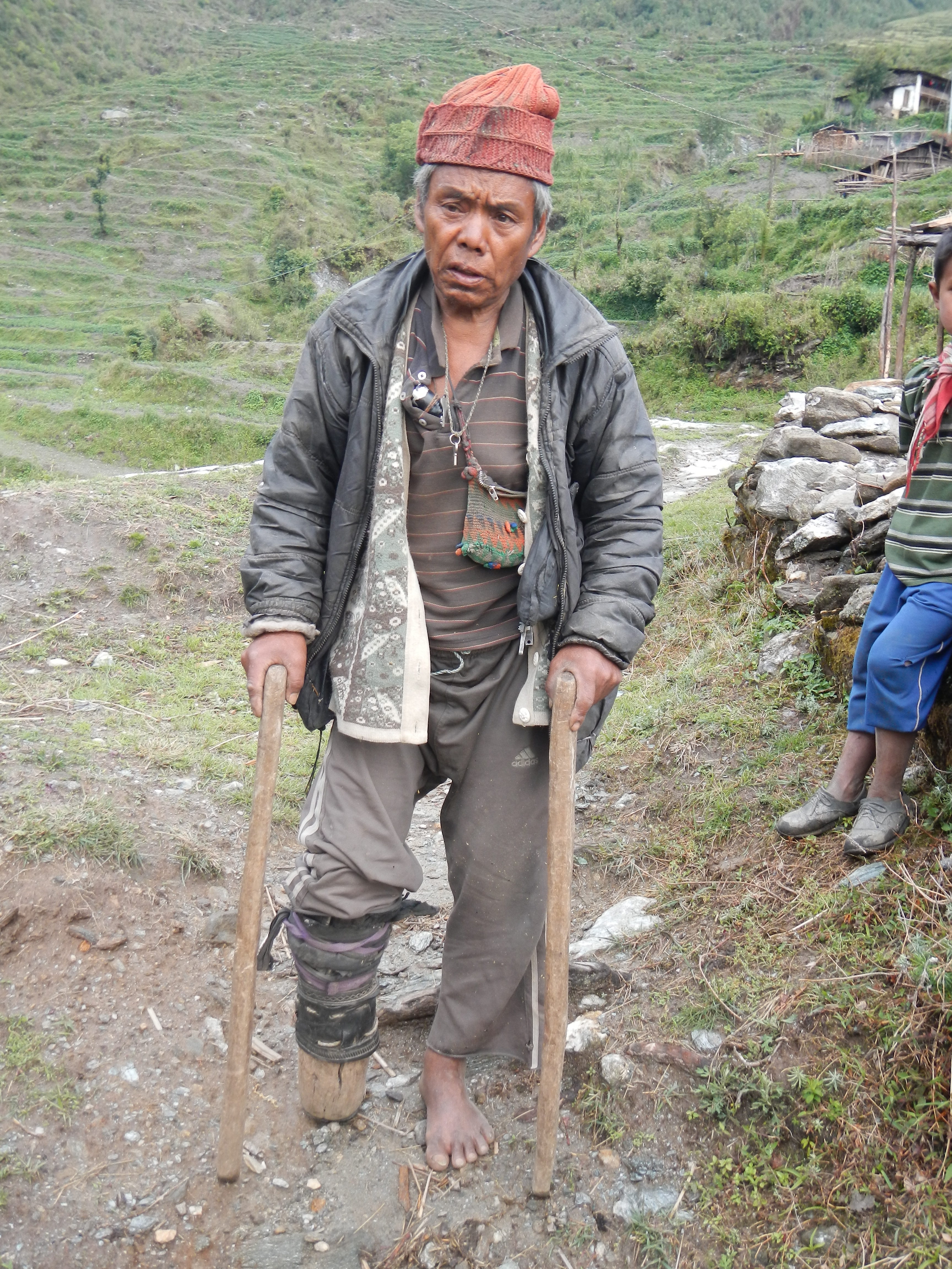
A very poor man in the village of Tipling. He lost the lower part of his right leg 24 years ago.
The morning view of the Ganesh Himal from Tipling village
The lower part to the village of Tipling
From leaving Dhading and entering the comfort zone of Manaslu National Park, was a mammoth day. With big ascents through the trees, wrong turnings and a ridiculous descent, I deserved that rarity called a cold beer and a proper shower.
The epic 2.5km descent through thick trees. Two KAAA bridges at the bottom of the valley.
The next nine days along the Mansalu and Annapurna Ciruits were bliss. Relatively easy trails, good food and good accommodation and of course fantastic views.
Mt Manaslu (8156m), eight highest mountain in the world, just visible through the clouds
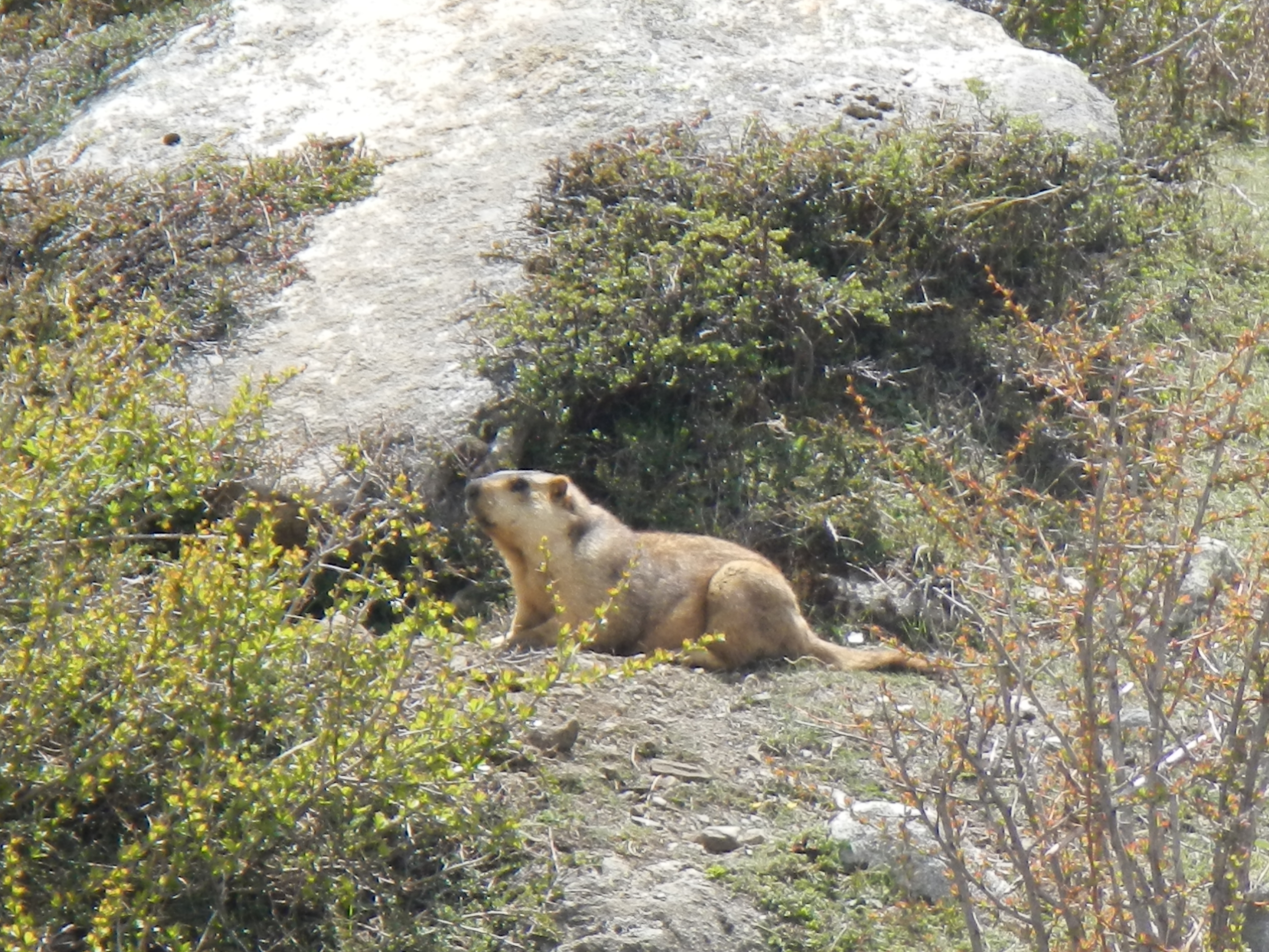
A cheeky looking marmot on the way to the Larky La Pass (5130m)
Looking back at the route take on the way to the Larky La Pass
Larky La Pass (5130m)
The view on the descent from the Larky La Pass

Vanity showing through!
Traditional village
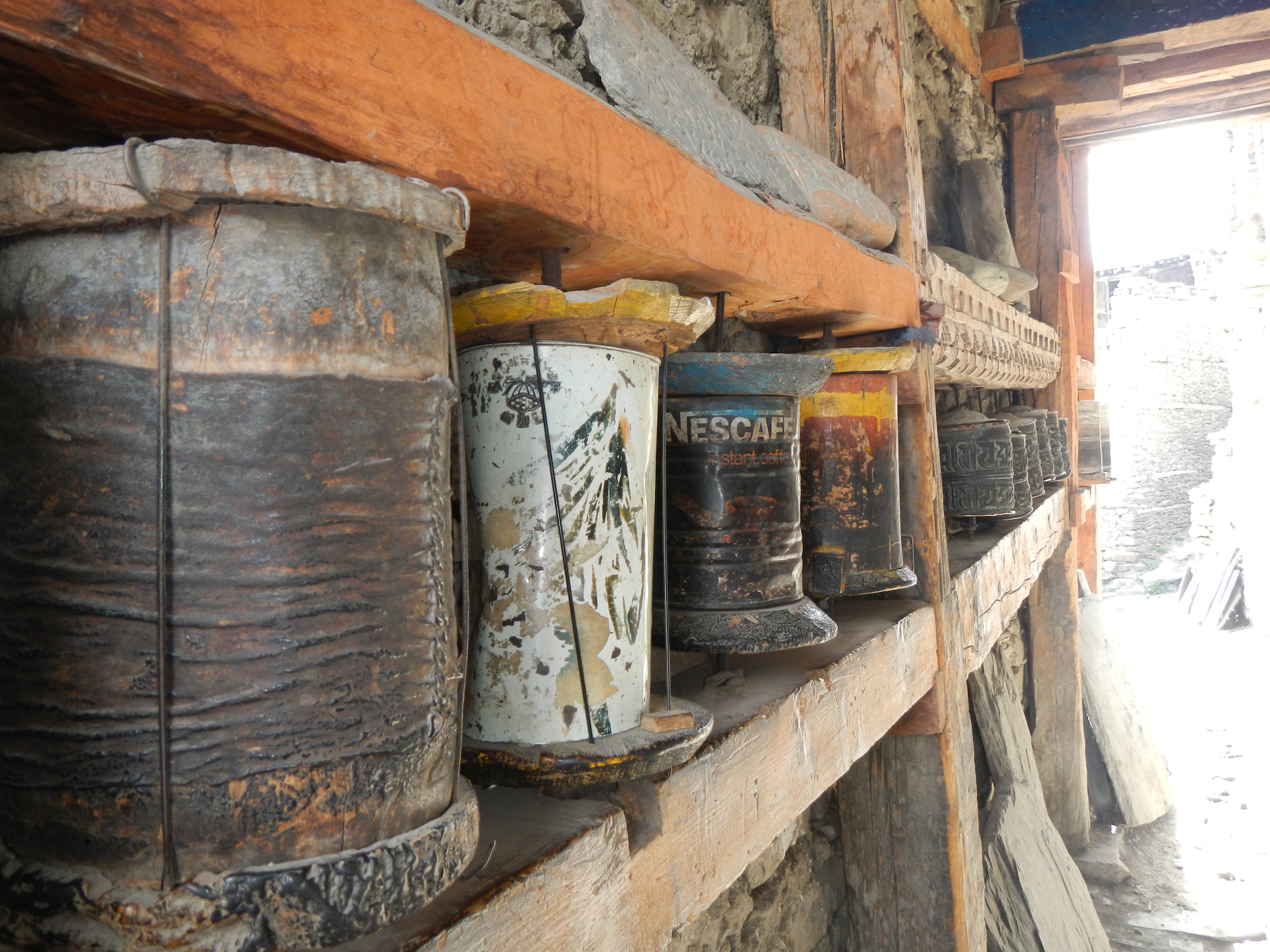
A novel use of cans doubling up as prayer wheels in Manang
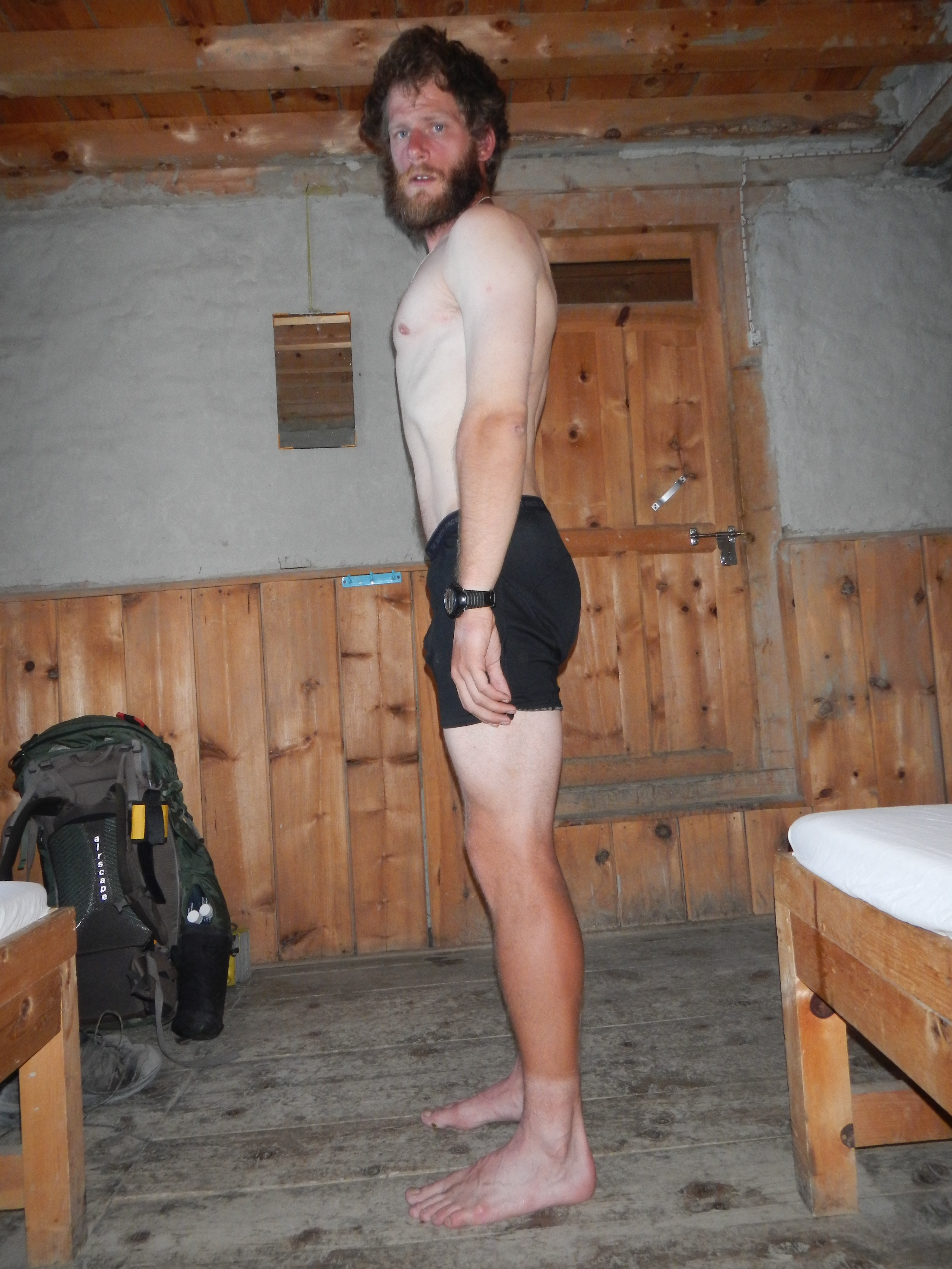
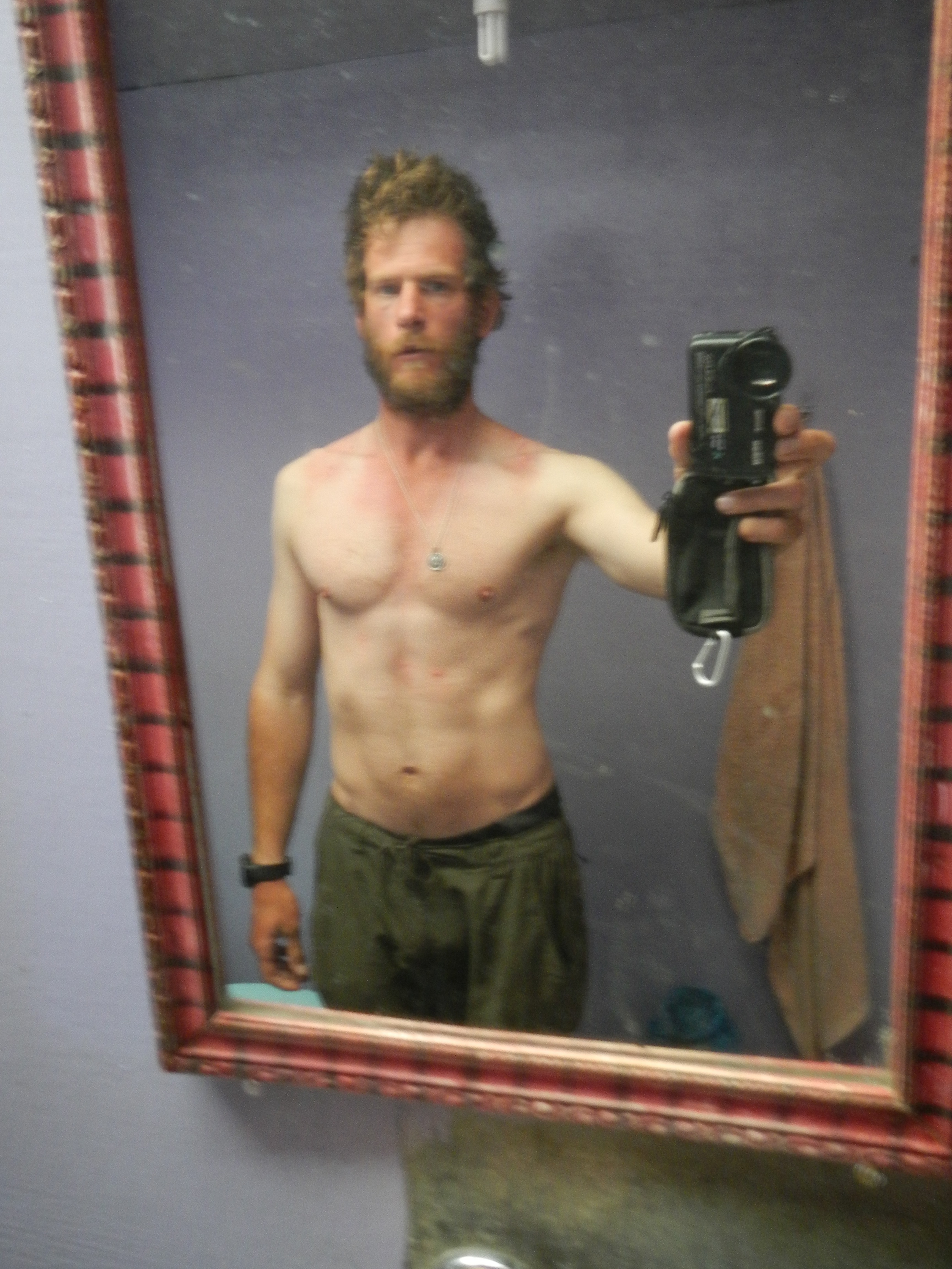
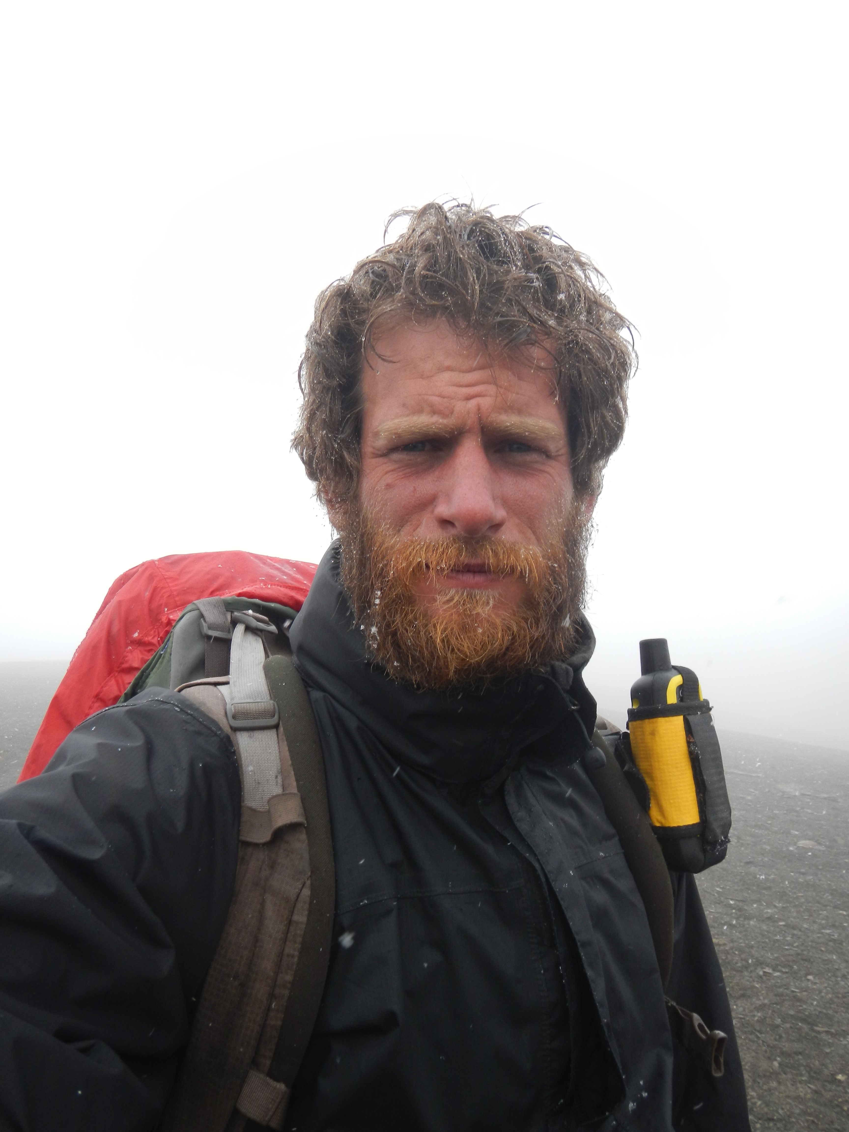
Losing the weight at a rapid rate. nearly two months in and I am down to 84kg, 12kg lighter than when I started
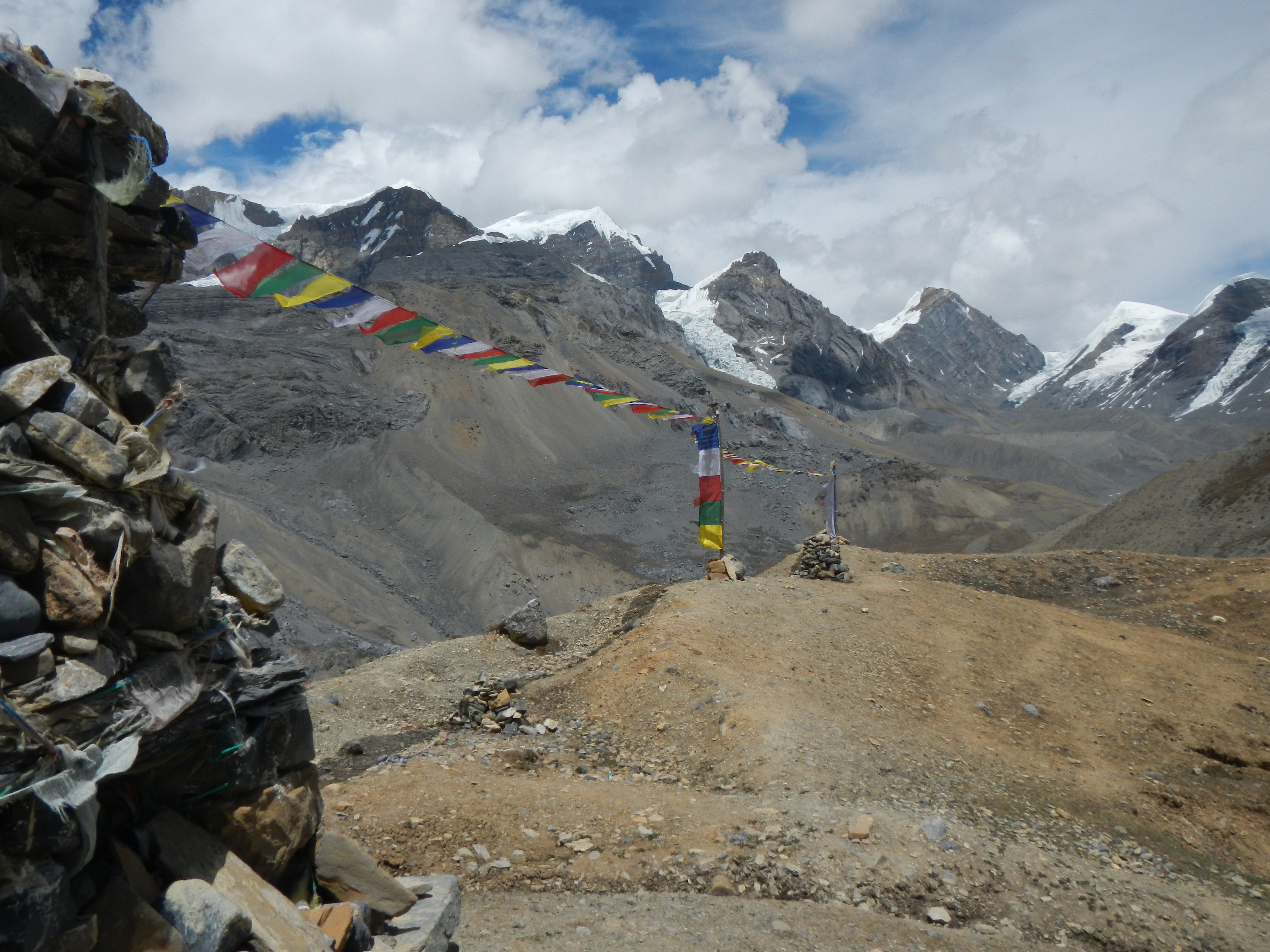
On the way to Thorang La Pass (5415m)
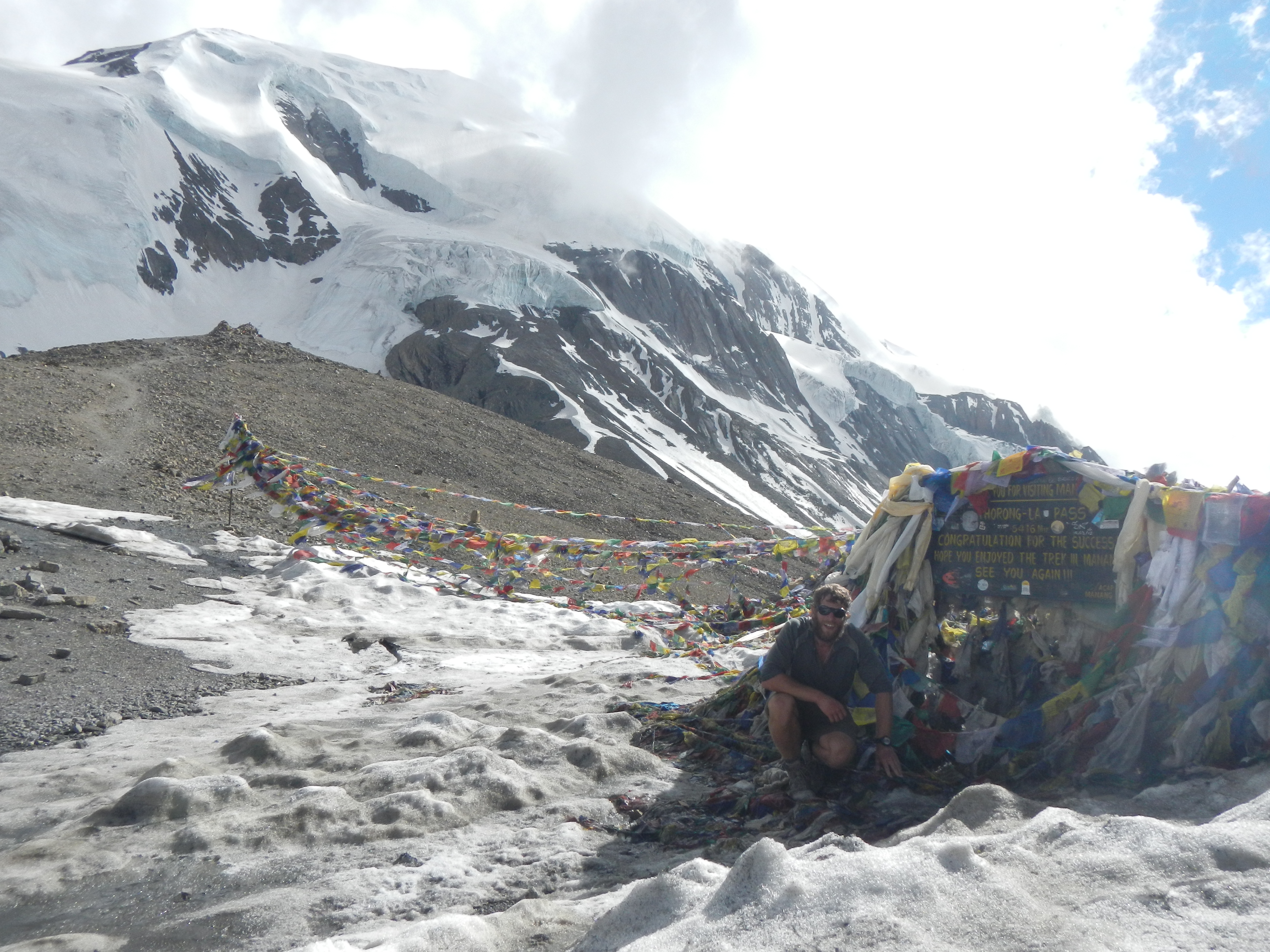
Thorang La Pass (5415m). This was my 11th 5000+m pass/base camp of the trail. I only had another three to do.
The descent from the Thorang La Pass.
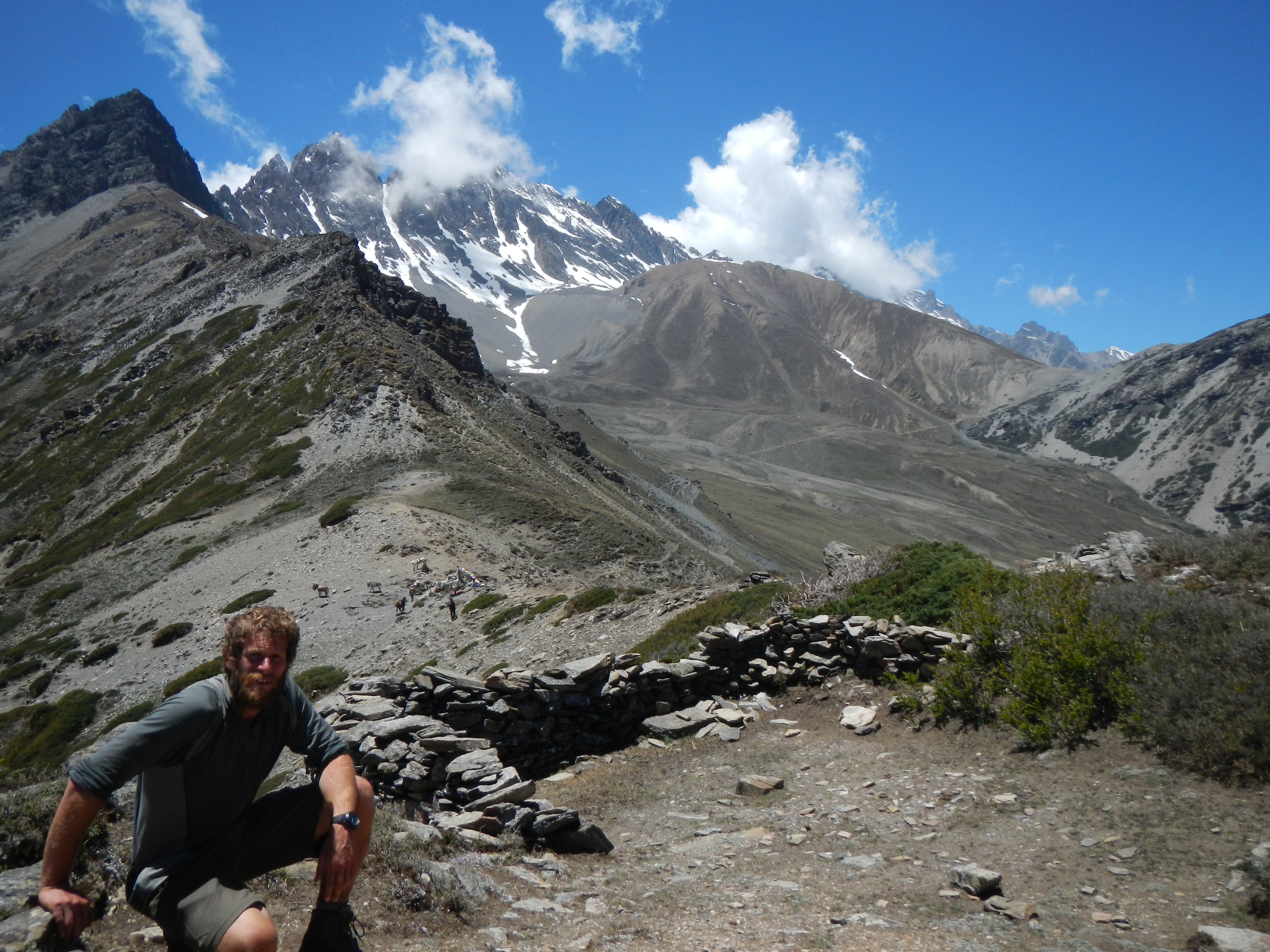
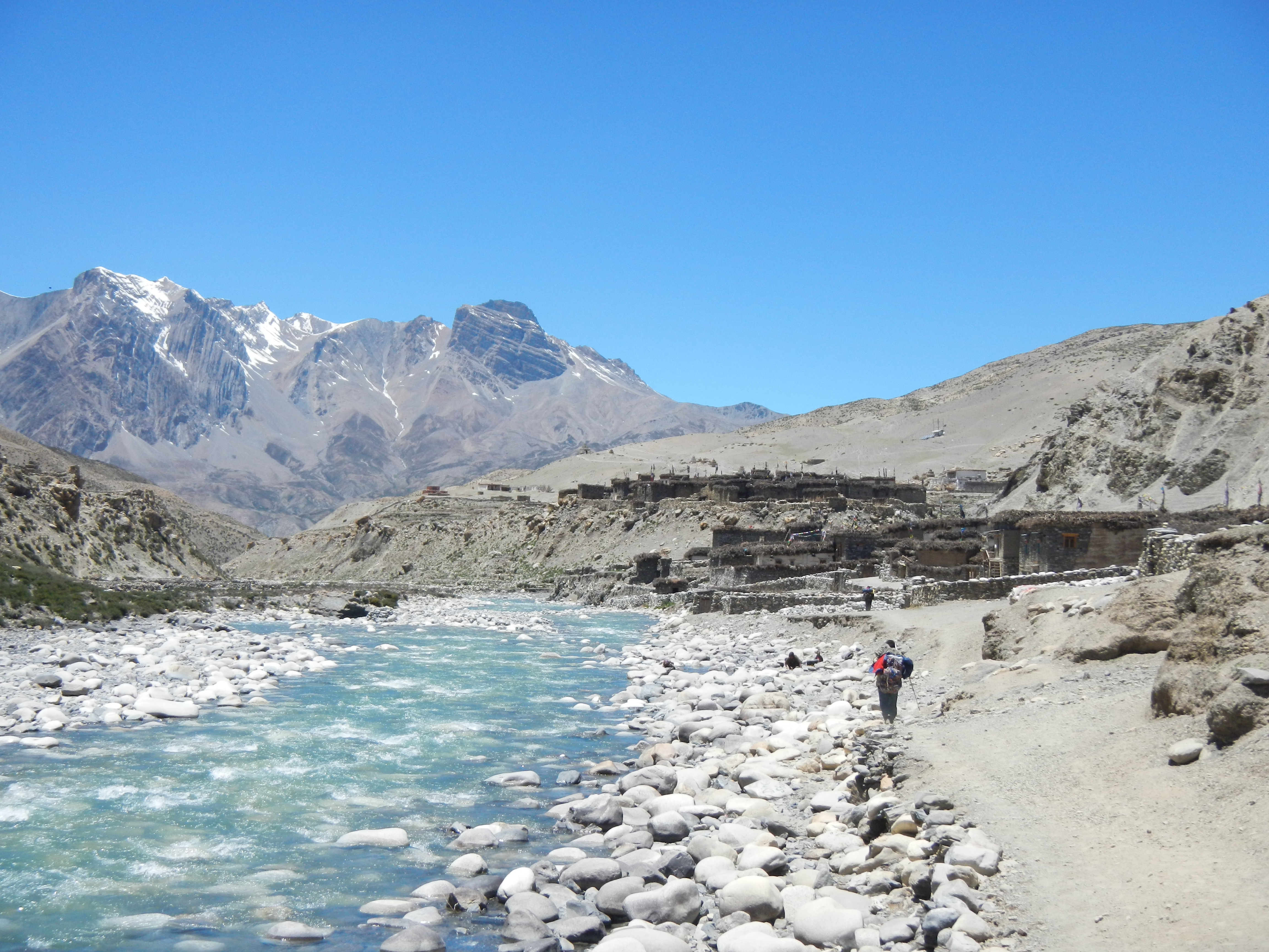
LOWER MUSTANG
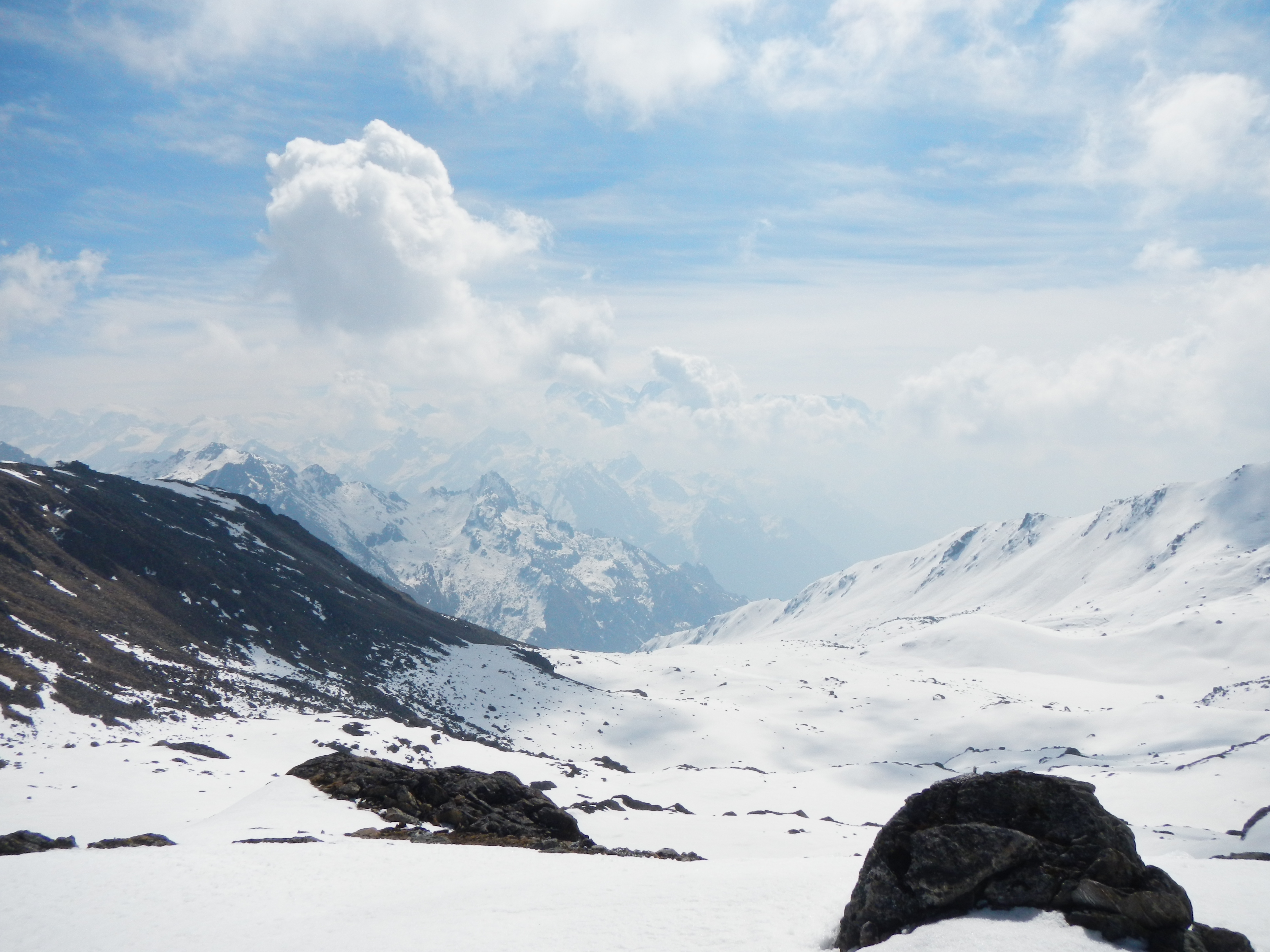
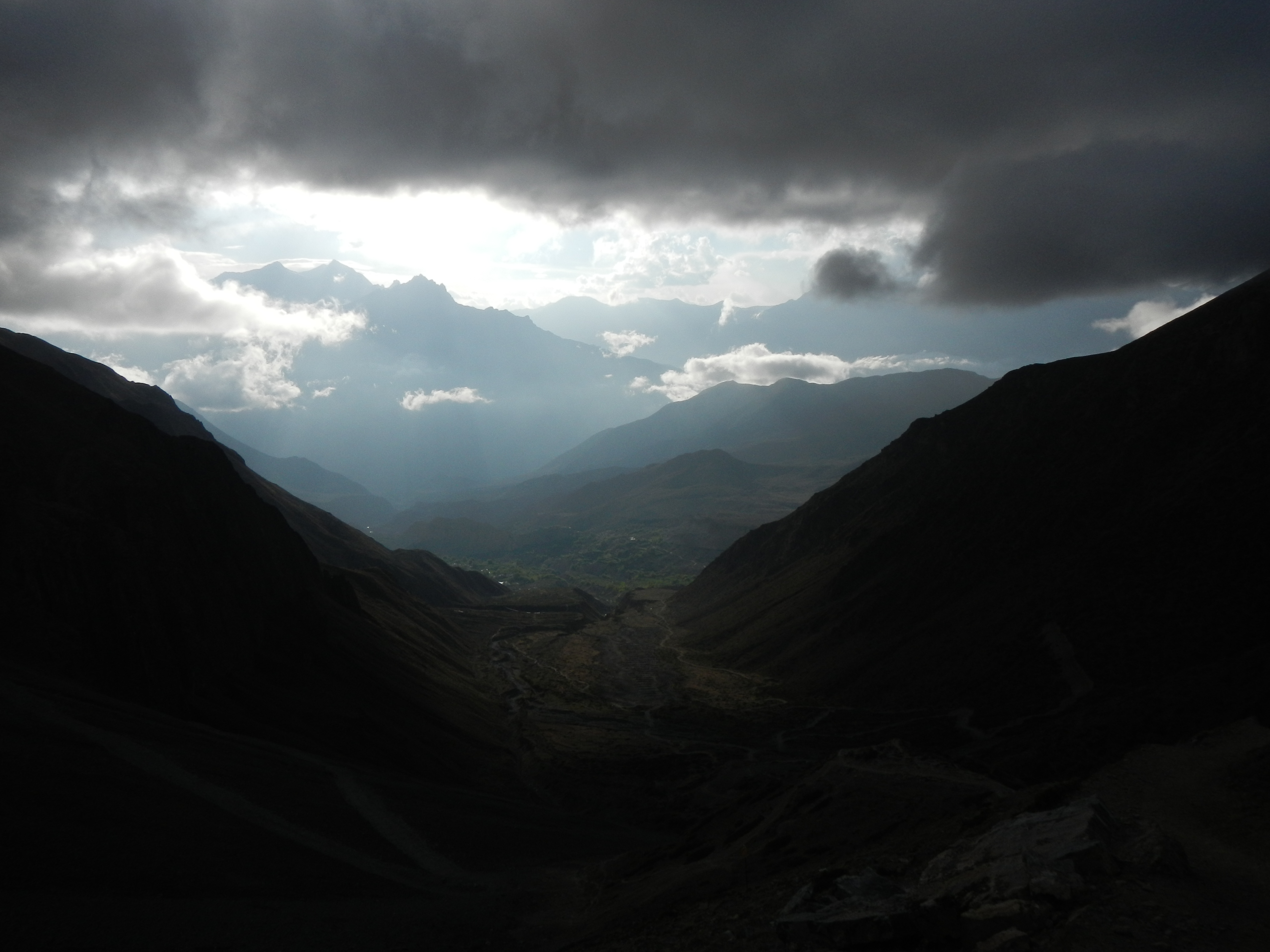
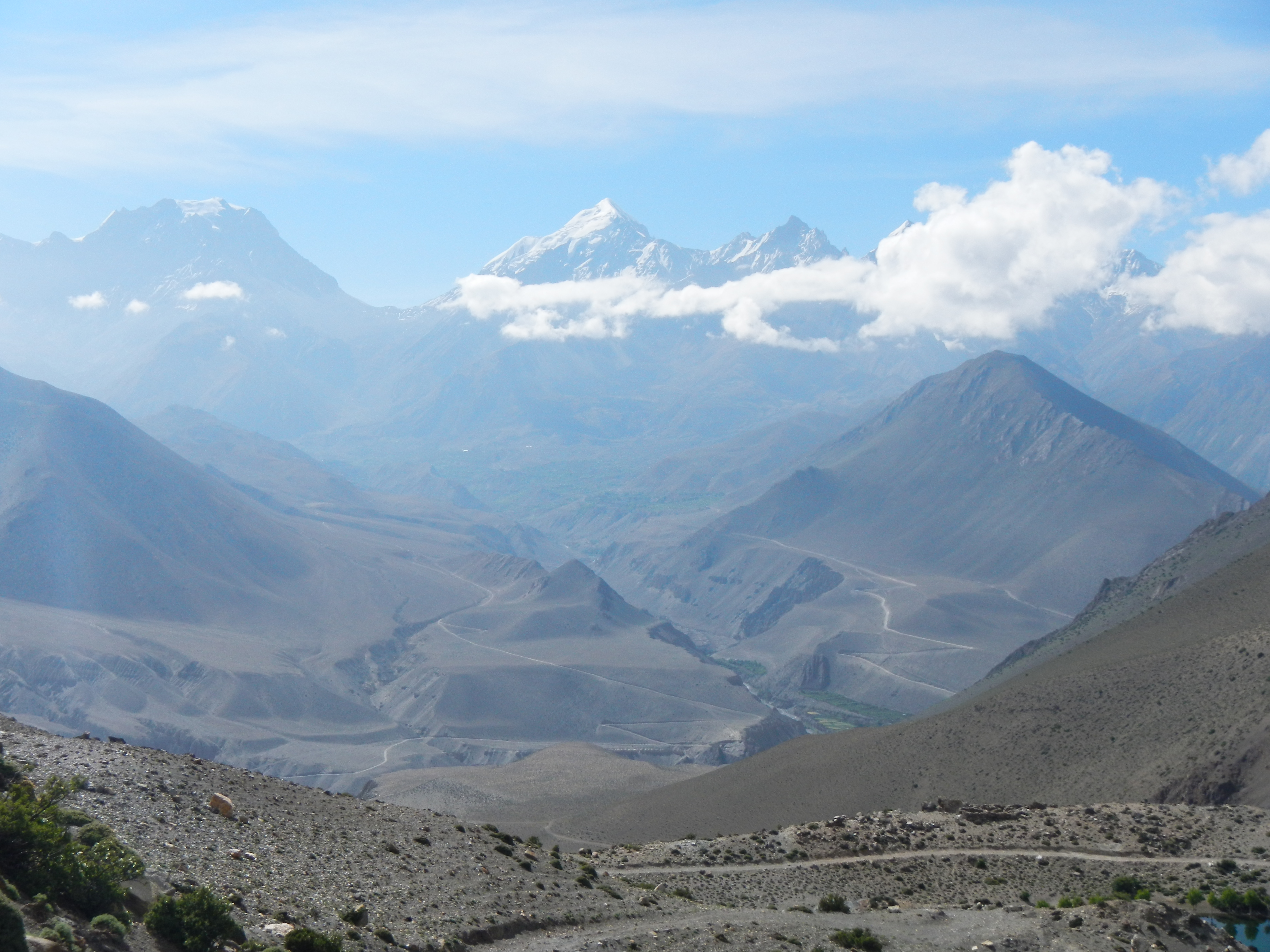
Nine days of comfort on the large tourist routes, it was now time to get back into the more remote areas; Lower Mustang and Lower Dolpo. The area west of Kagbeni had interested me for years, having seen it on numerous occasions. I felt that the remoteness was going to be a challenge especially as the maps I had were 1:150,000 maps. Flashbacks of the east still haunted me.
With great weather on my side the final legs of my journey started well. Surprisingly a track was being built to connect the village of Santa, sadly it was in true Nepali style; two people and a JCB. There were more people travelling to Santa than I expected and there was a even a ‘coffee shop’ half way (okay, a small tent and a didi serving tea and dhal bhaat). The reason why so many people were heading into the hills was because it was yarsagumba# season. Santa is an incredible small village, medieval in appearance. 12 Stone, small houses with a network of tiny paths. Rested and well fed I started walking with my new friends, a local returning to his village, Charka Bhot, and two men from Syangja who were heading to Dho Tarap in search of yarsagumba.
View across the other side of the valley towards the Thorang Lar Pass (5415m) – the large U-shape in the background
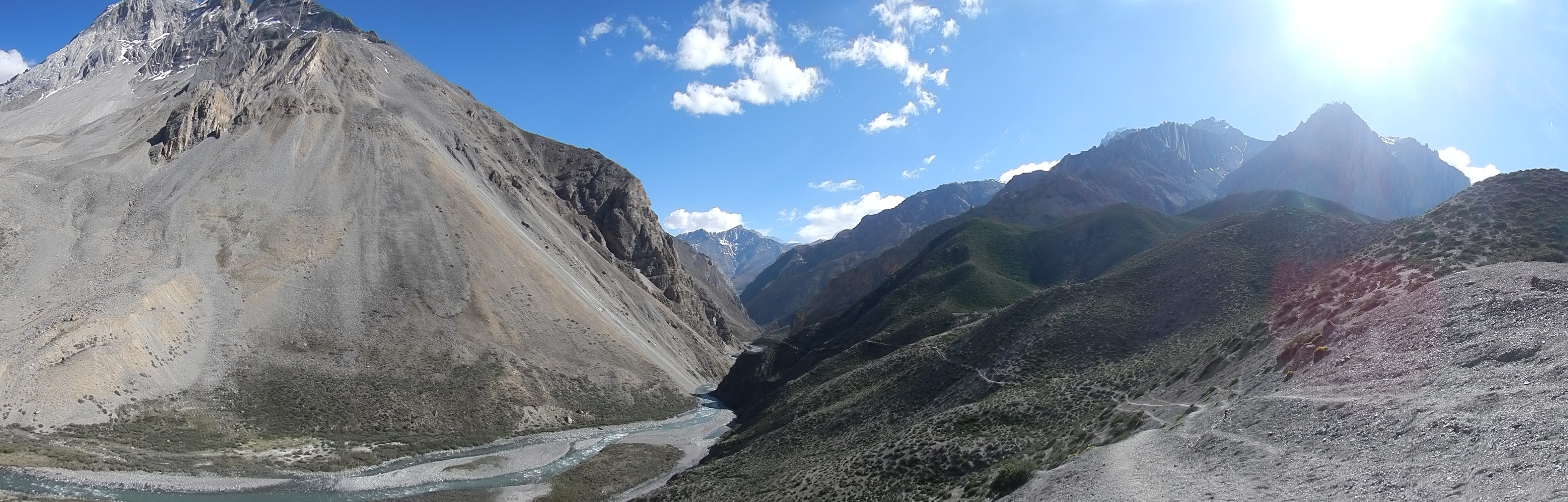
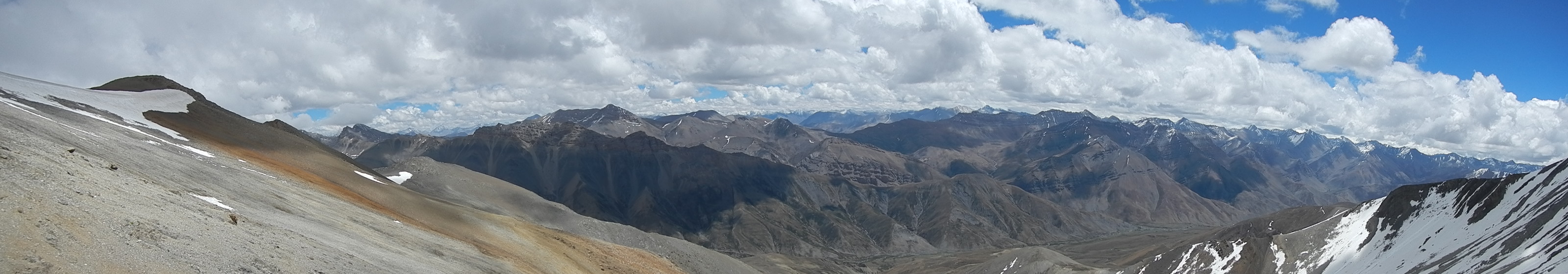
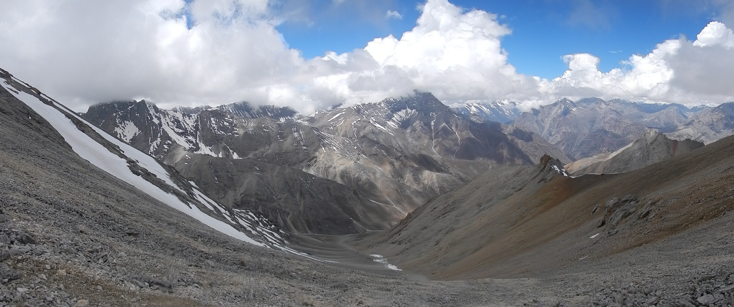
The route that I took into Lower Dolpa. Remote and breathtaking.
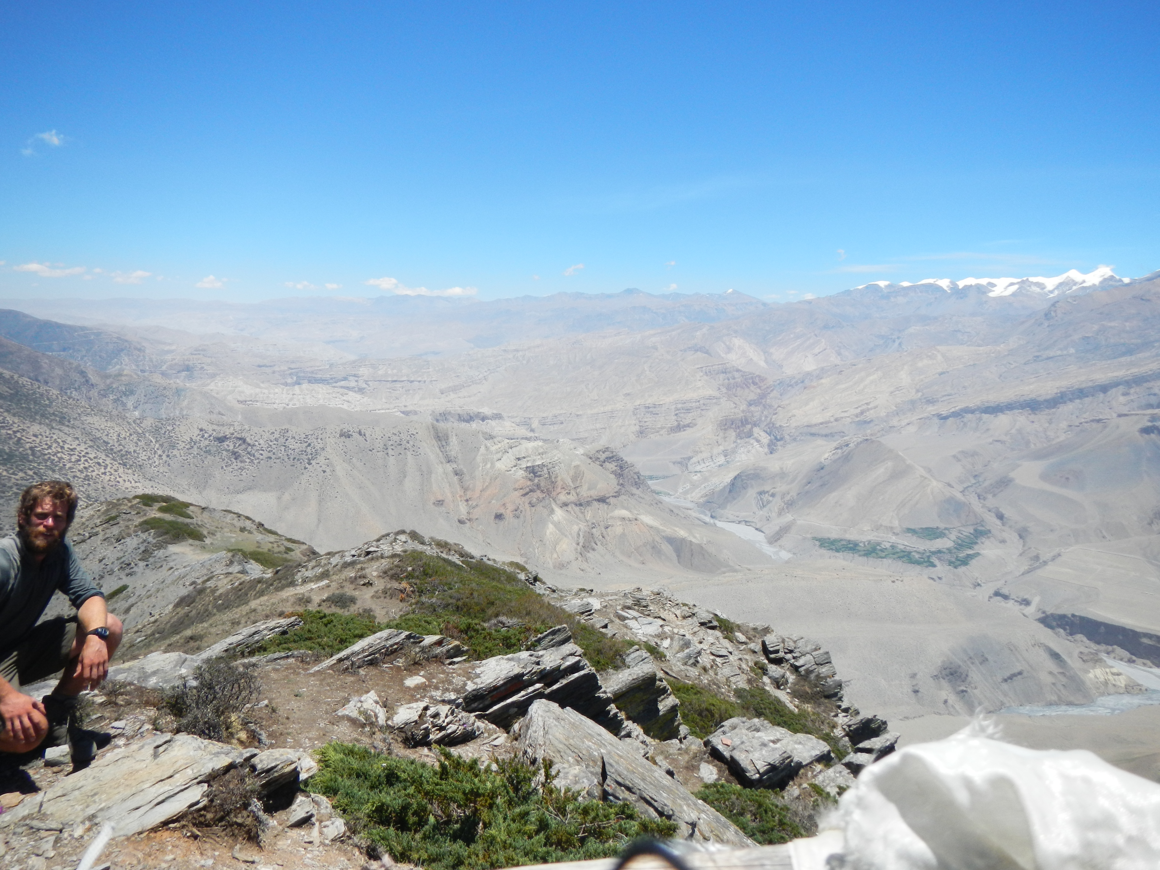
Looking north into the arid Mustang Valley
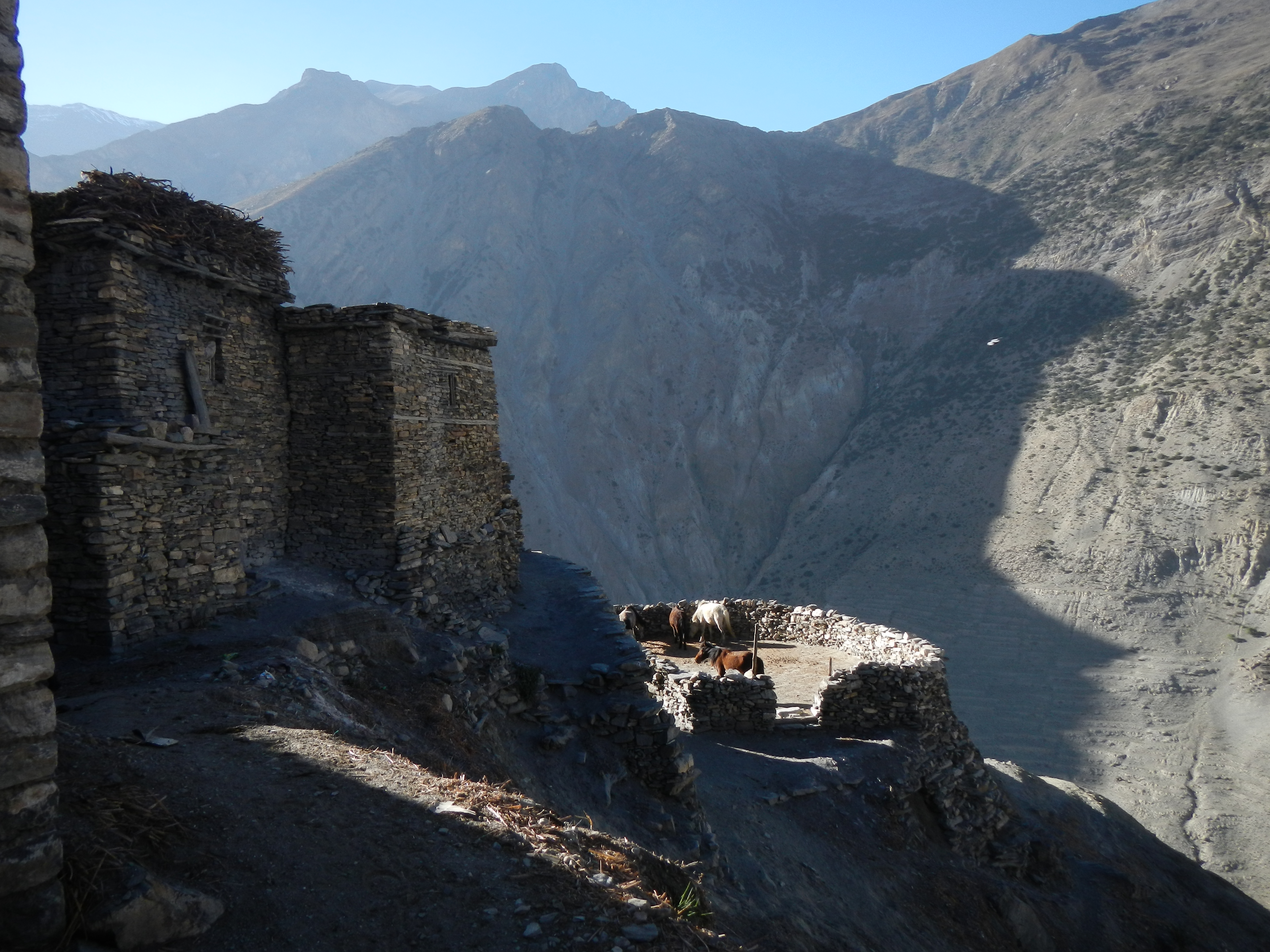
The medieval village of Santa
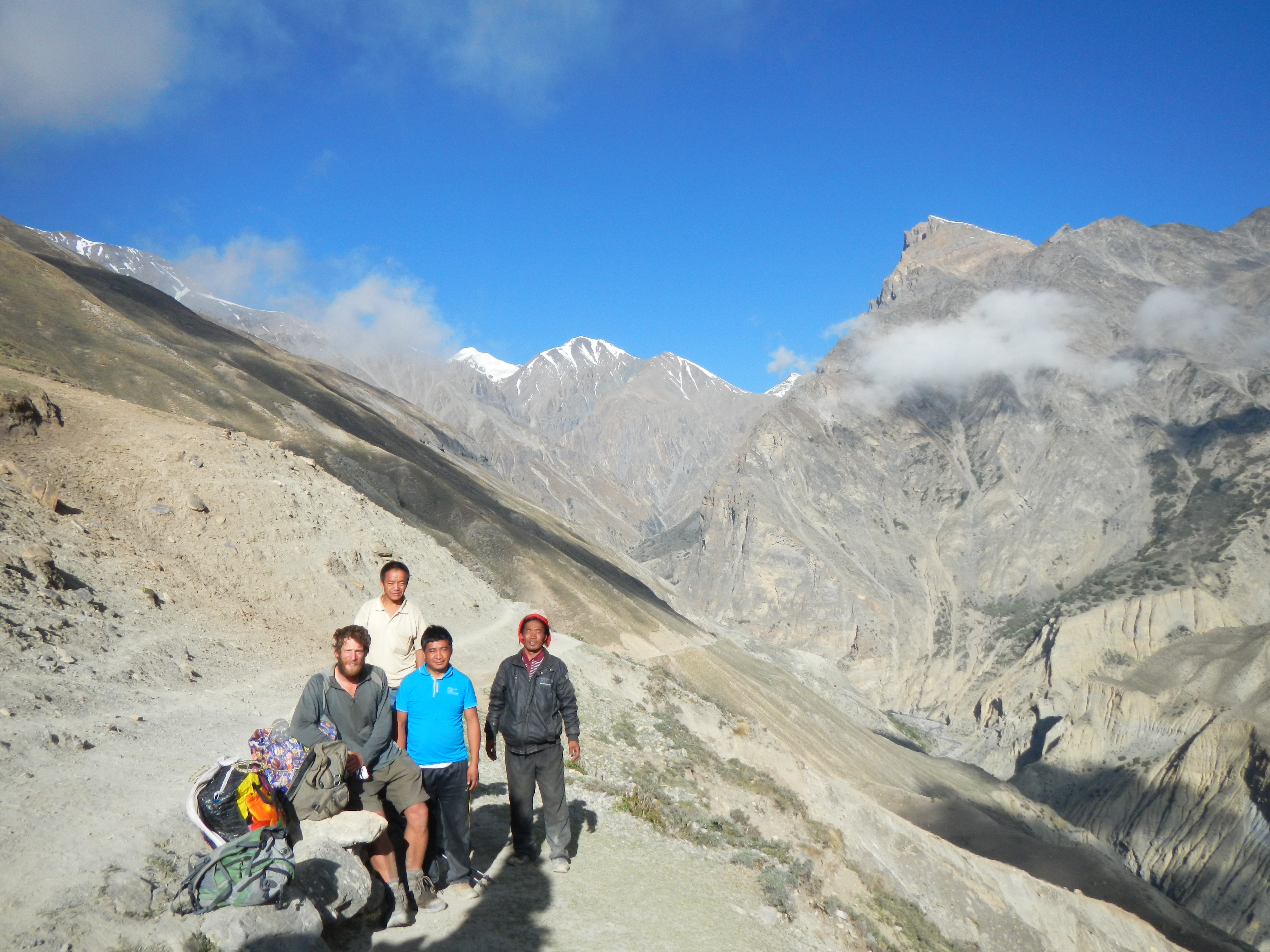
Meeting some locals as I head from Lower Mustang into Lower Dolpa
Scrambling our way out of the gorge
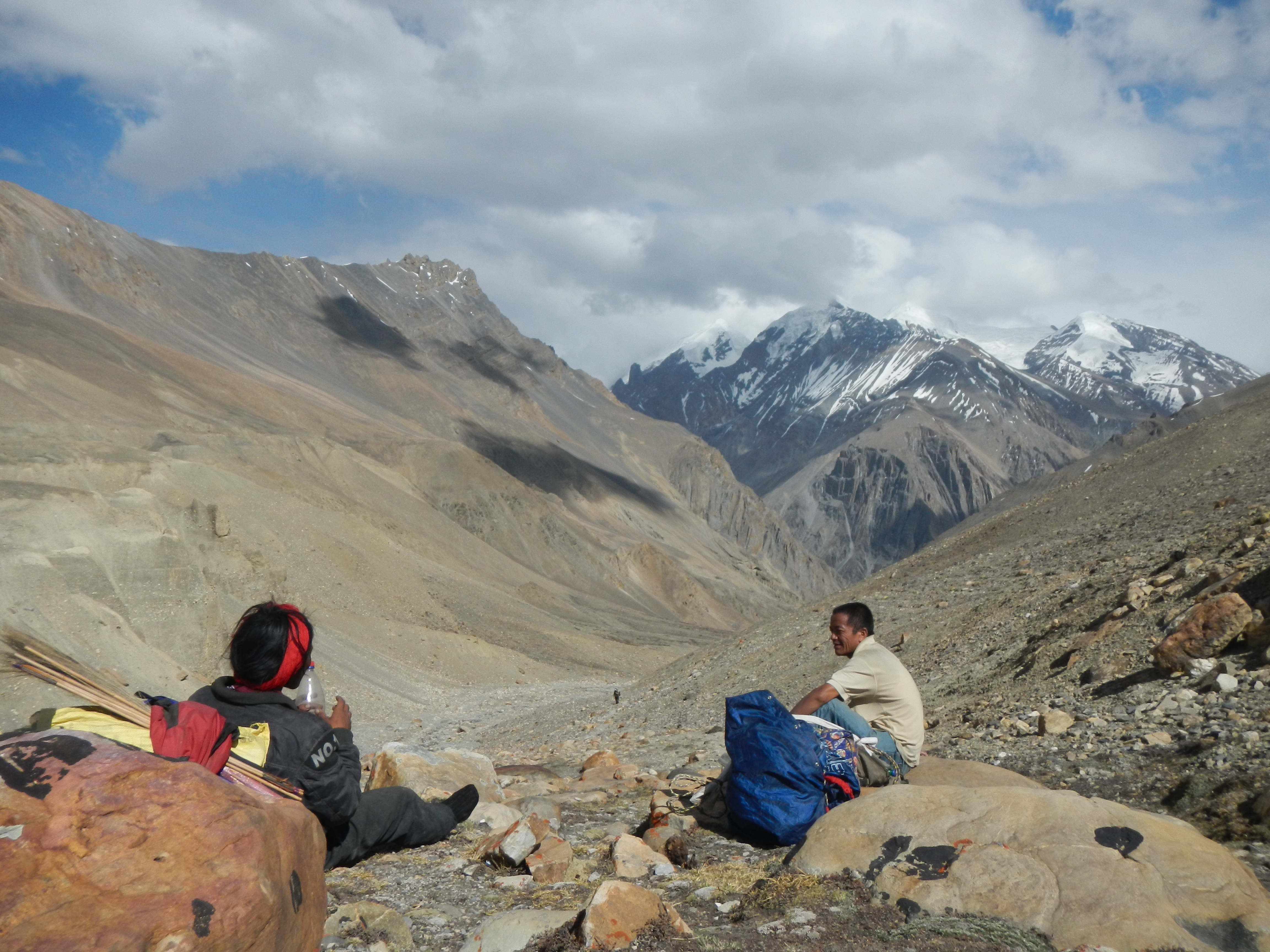
The journey was fun. We travelled for the next few days through some of the most beautiful and untouched scenery I have seen, staying with Yak herders, underneath rocks and in peoples houses. As much as I wanted them for company and for a little bit of security, the guys from Syangja needed me. Without my map they really had no idea where they were going, especially when the weather came in on our final day. So it was a real team effort.
The top of the pass that separates Lower Mustang from Lower Dolpa
My first view of Lower Dolpa
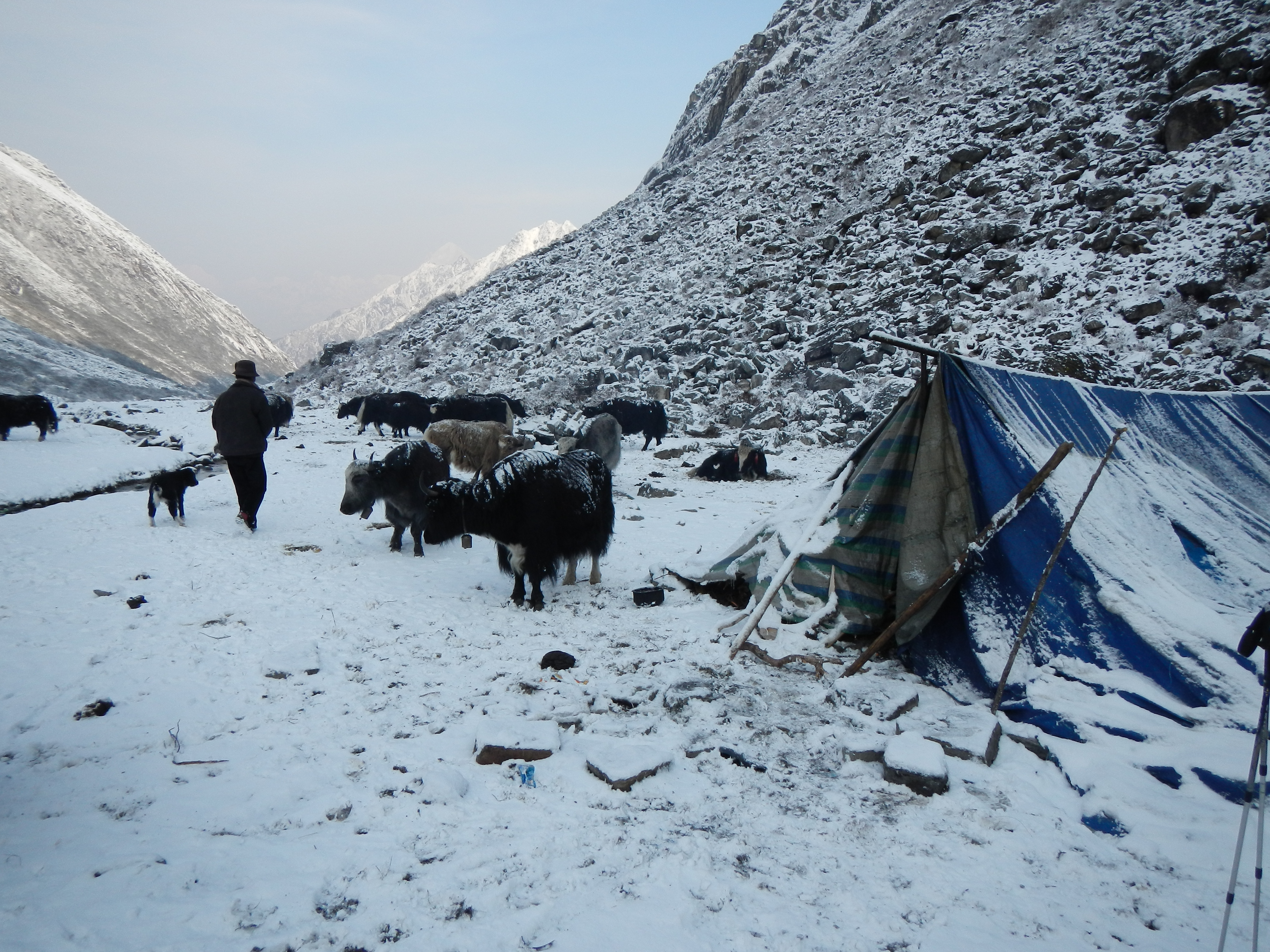
A yak herders tent just over the pass into Lower Dolpa. I stayed over night here, it beat sleeping in my small cold tent.

The very kind yak herders preparing dinner
The village of Charka Bhot.
The route taken to head to Dho Tarap from Charka Bhot
More bad weather!
LOWER DOLPO – DHO TARAP TO PHOKSUNDO LAKE
Although I was starting to get physically tired, I was certainly hill fit. The thought of finishing within the next couple of weeks was really keeping me going. Leaving my new found friends behind in Dho Tarap, I made my way up the valley in the early morning ambient light. Surprisingly I wasn’t on my own. There were tens and tens of people all over the valley on the their search for yarsagumba. The night before I was told that I could not make it to Phoksundo Lake in one day as the route involves going over both the Numala La (5450m) and the Baga La (5169m) and because I was a ‘gora’. I was adamant that I could and therefore I had already agreed the challenge before I set off that morning. Two passes, a tiring wrong turn, a number of blunt conversations with some ‘yarsagumba mancheeharu’ and more poor visibility, I was only two hours away from Phoksundo Lake as the sun was setting. My challenge was not over. I had to make it Phoksundo, that was my challenge! With a combination of fast walking and even running I pushed my self as hard as I could up the final steep hill to the village. Sadly by the time I got the top it was 2015hrs and the visibility was severely reduced, stopping me in my tracks 1.5km from the village. Slightly disheartened and exhausted after over 15 hours of hard walking, I pitched my tent in an opening in the trees, with two yaks for company and got ready for the night.
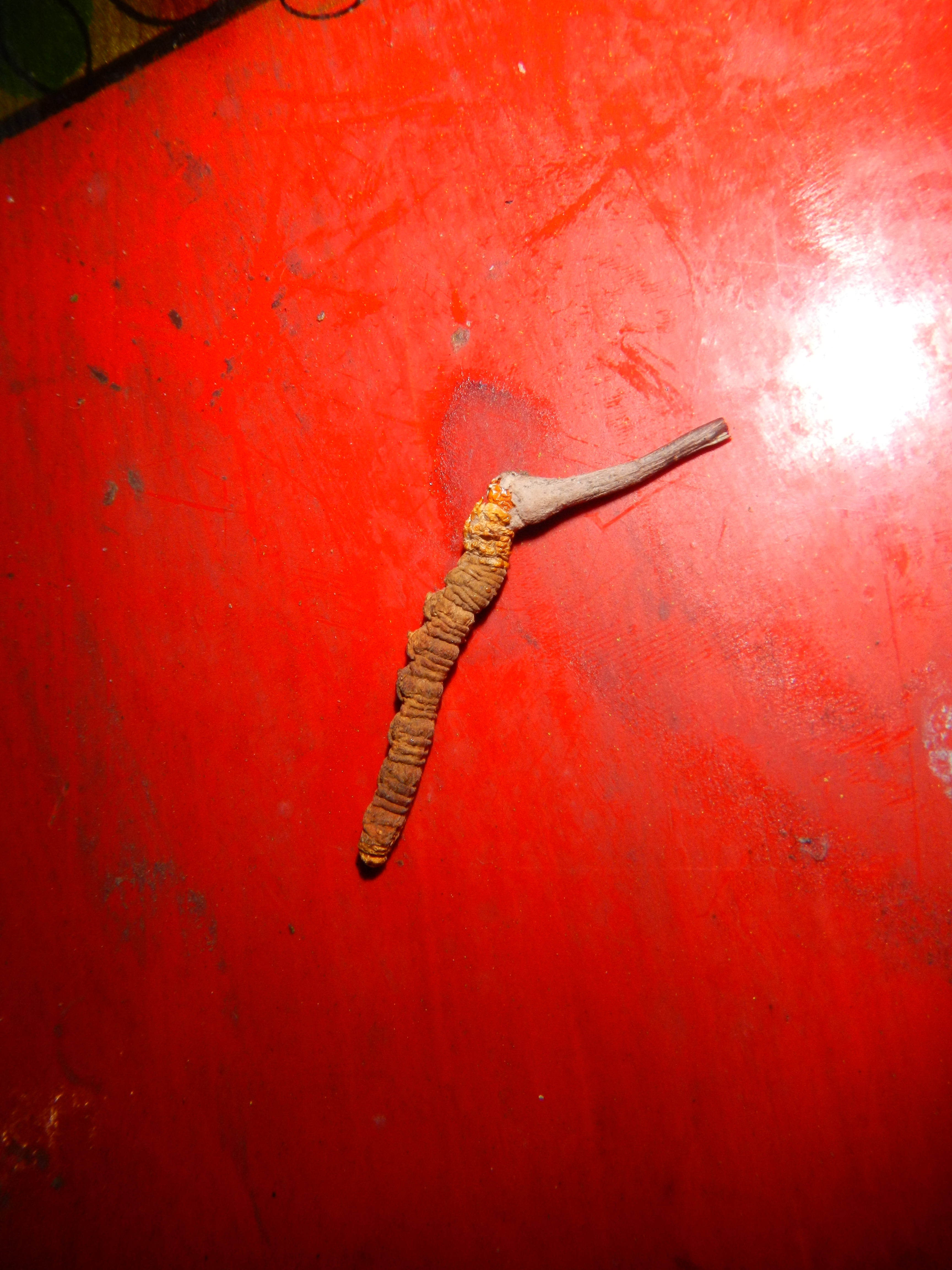
Yarsagumba. This is a caterpillar which has been infected by a parasite causing it to solidify. It lives under the ground between 3000-5000m and is worth a lot of money as the Chinese use them for traditional medicine.
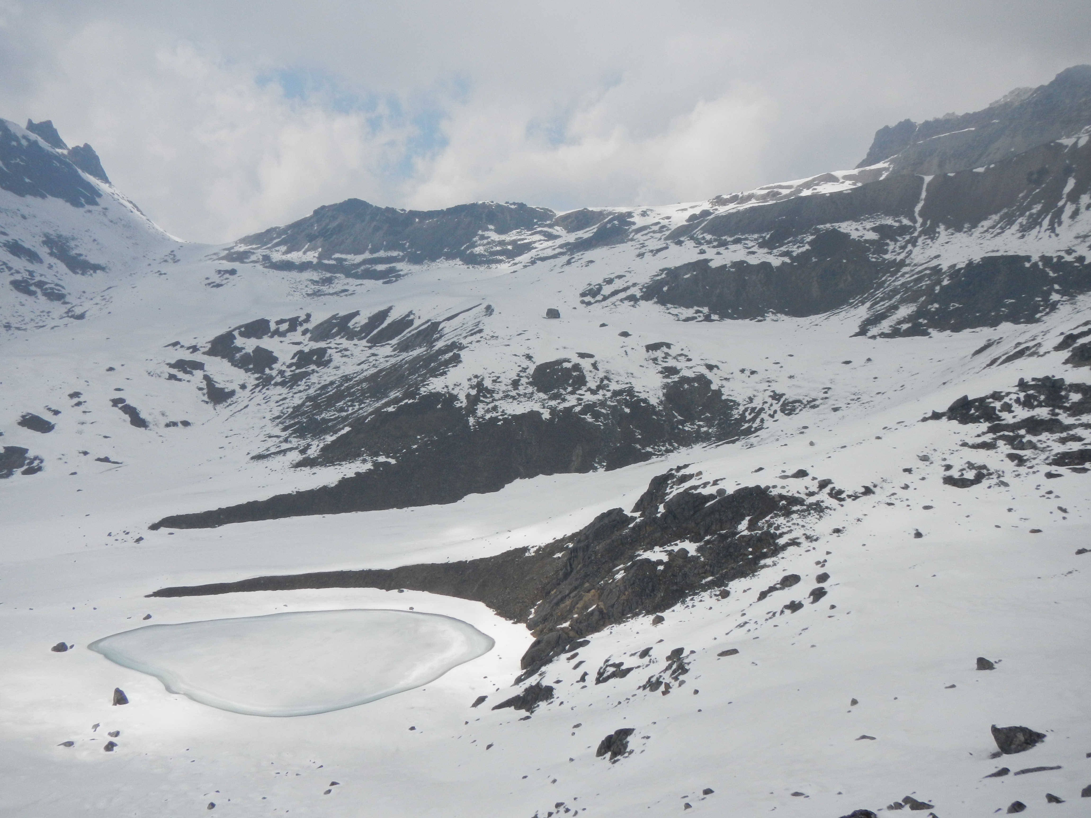
The view looking north from the top of the Numala La Pass (5340m)
The final section of the Numala La Pass (5340m). Snowy, icy and not that easy.
The view looking north from the Numala La Pass (5340m) towards another 5000+m pass, the Bagala La Pass (5170m) which I crossed in the same day.

Phoksundo Lake a hugely sacred lake to locals.
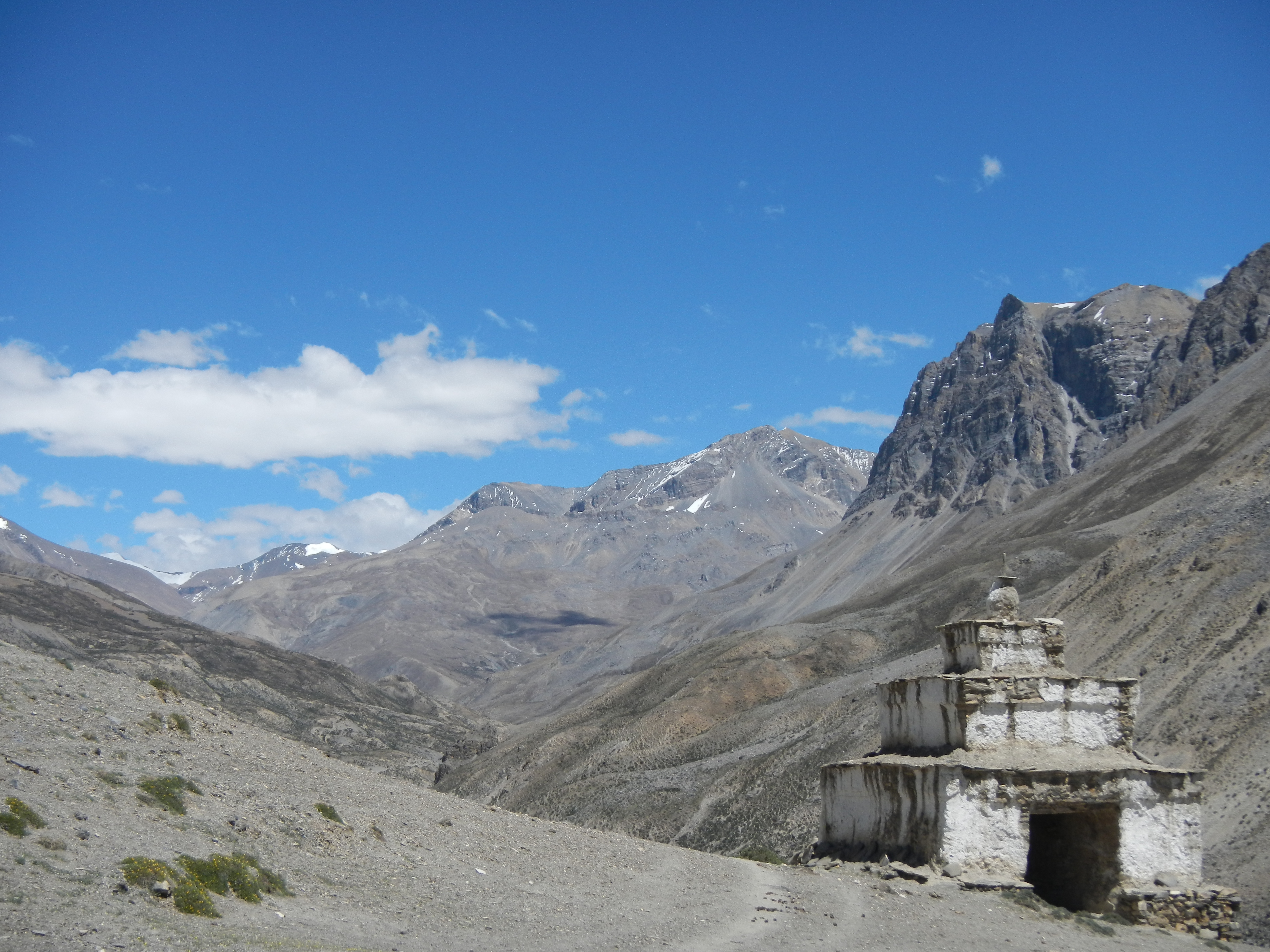
JUMLA
The path to Jumla and on to Humla saw me complete my ffifteenthourteenth and final 5000m pass/base camp, the Kangmala La (5115m) on my 64th day of walking. It was actually a little emotional as it was a sign that I was finally near the end of my Himalaya adventure. Although I had passed 143 already, this felt just as hard, if not harder thant the rest. I moved very slowly to get to the top.
The friendly Lama and monk who let me stay in their monastery when I couldn’t find anywhere else to stay in Huricot.
ROAD TO HUMLA
The track to Jumla although very beautiful it was ruined by the path of destruction from outsiders coming inn on their search for yarsagumba. Litter sadly strewn in many areas where dozens of people camped repeatedly as they entered the hills. This track also saw me get ill for only the second time, spend a night in a monastery, get my first blister, receive lots of curious looks and laughs by passers by and nearly getting mugged by a Nepal Army soldier. This is of course all part of the solo GHT experience.
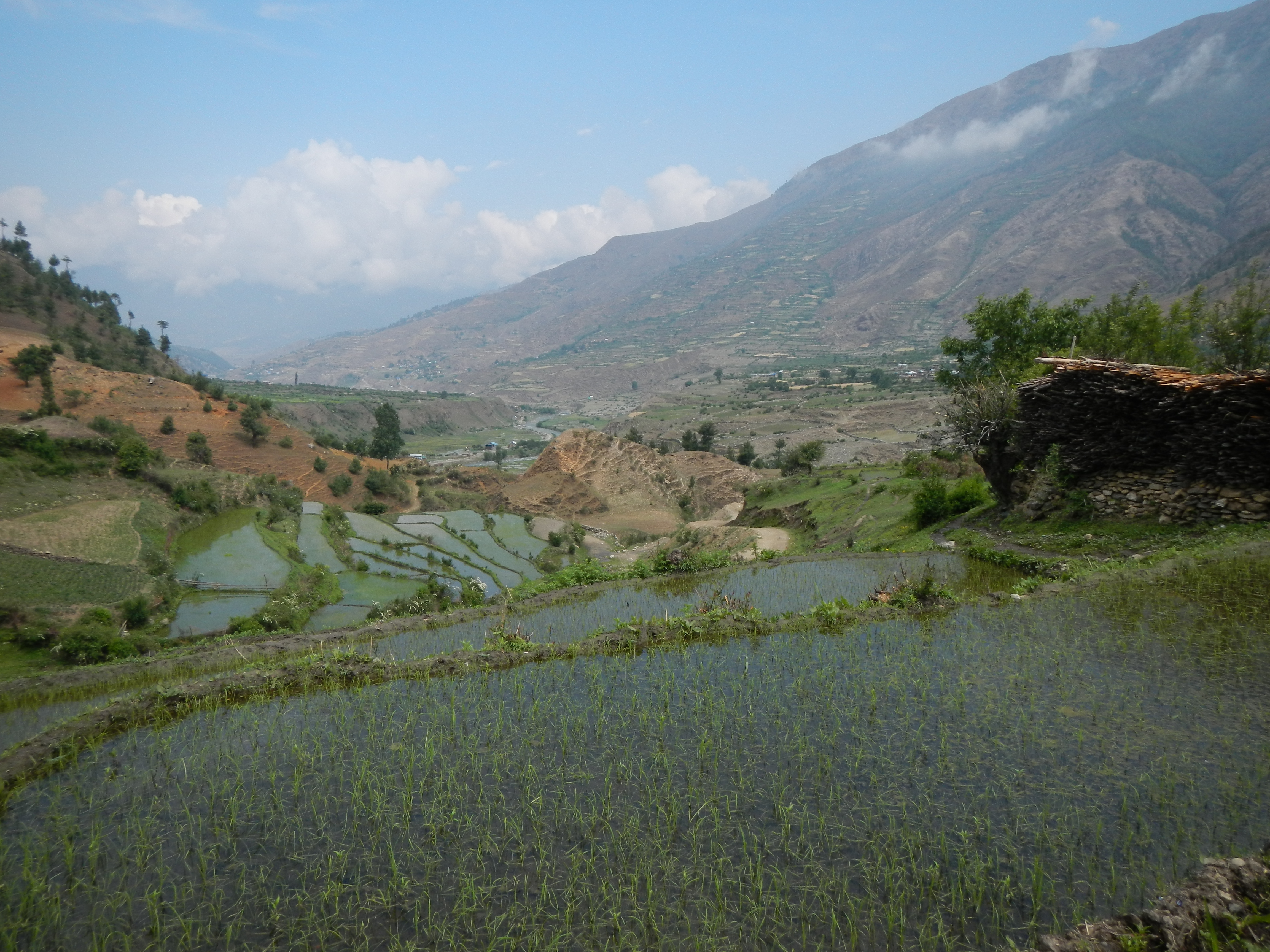
Rice fields
ROAD TO SIMIKOT
The town of Jumla was fantastic. I treated myself to an afternoon off and a nice hotel to prepare for the final seven day leg to the boarder. The first few days were great. I had no problems. Unfortunately the weather was still cloudy, and it even rained during my walk around Lake Rara.
In Jumla one week before finishing the GHT. At this point I had already walked around 1450 km.
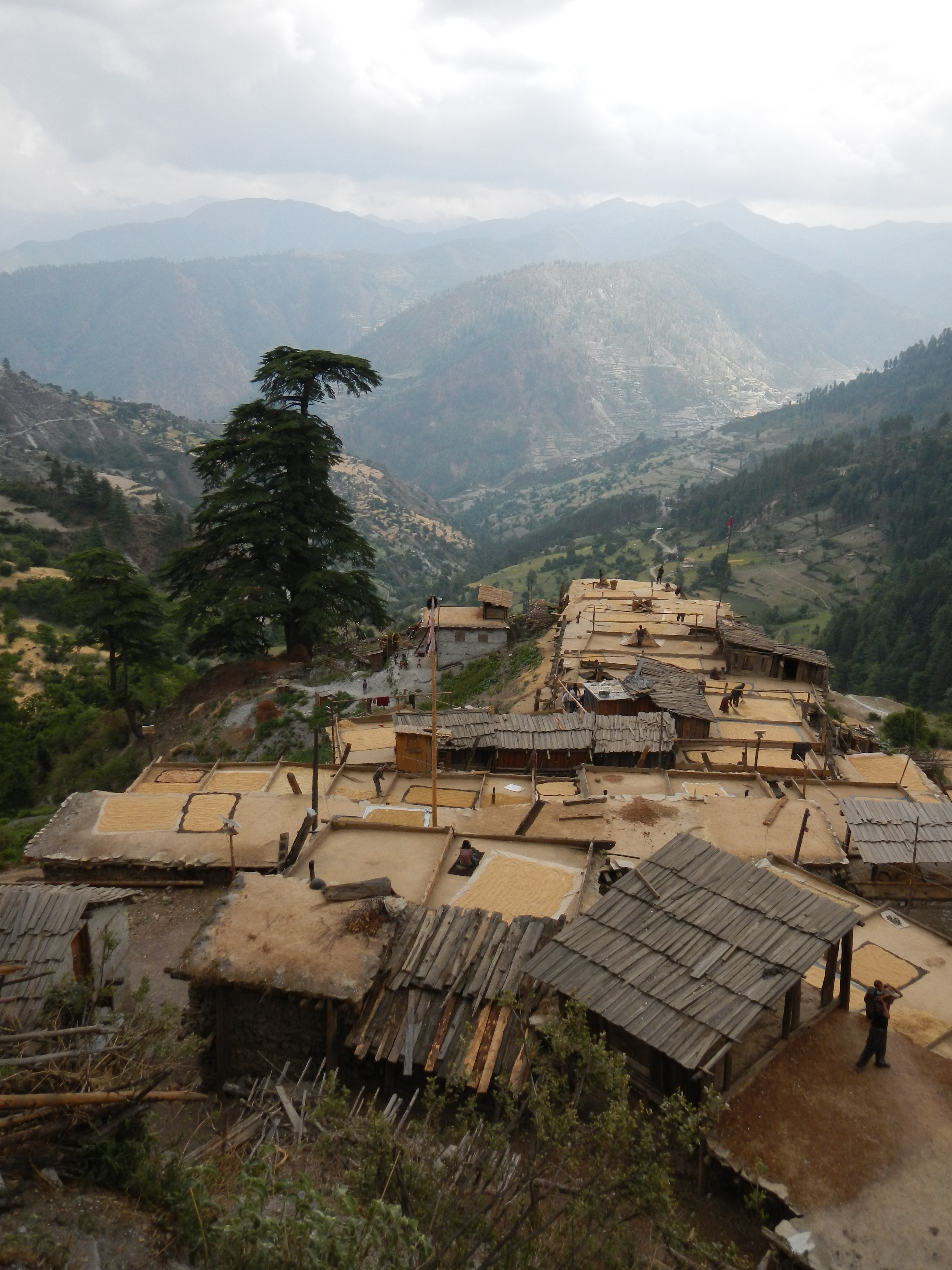
Small quaint village near Lake Rara, maximising its space by using the roofs as work space.
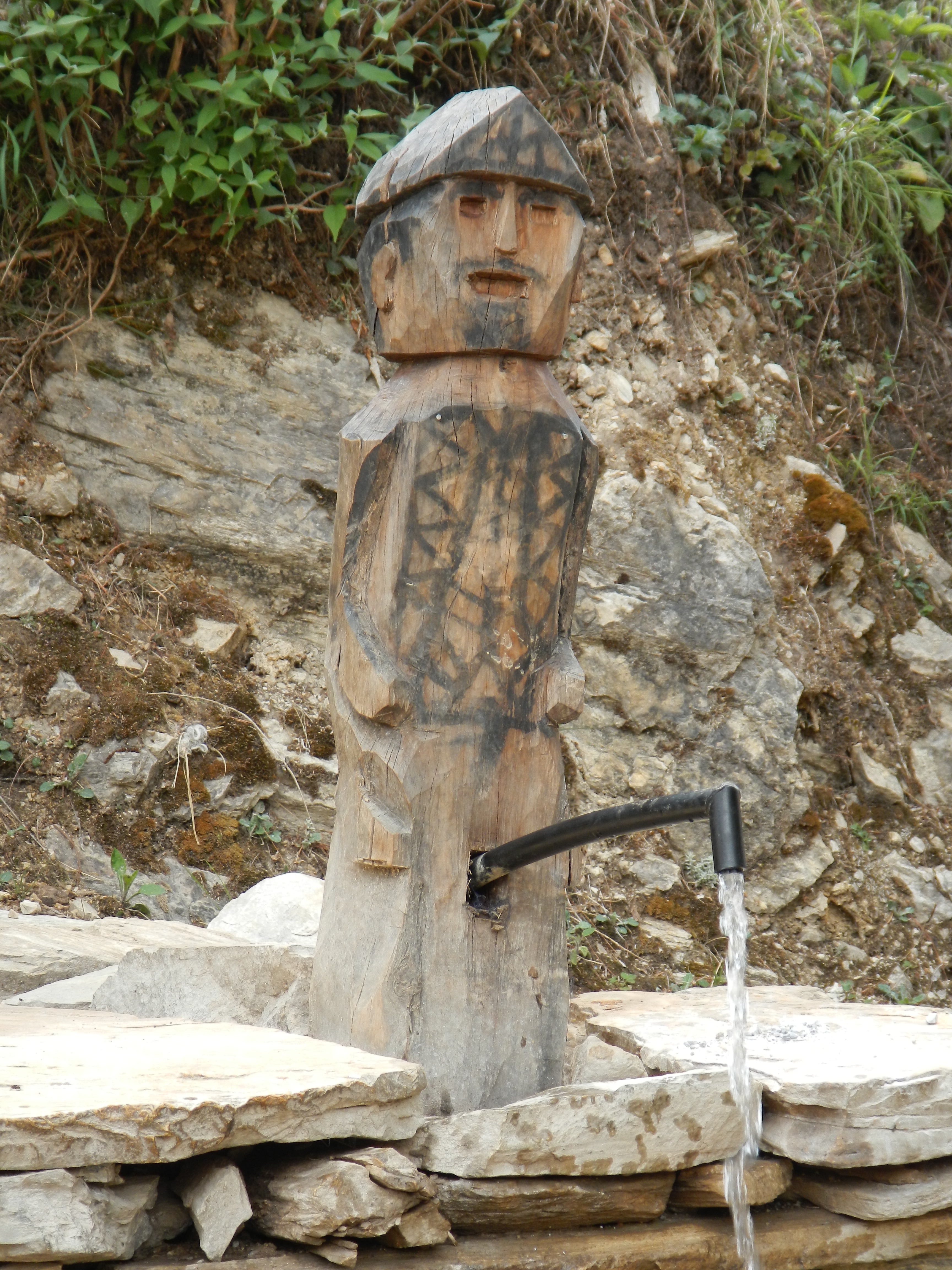
A comedy water tap
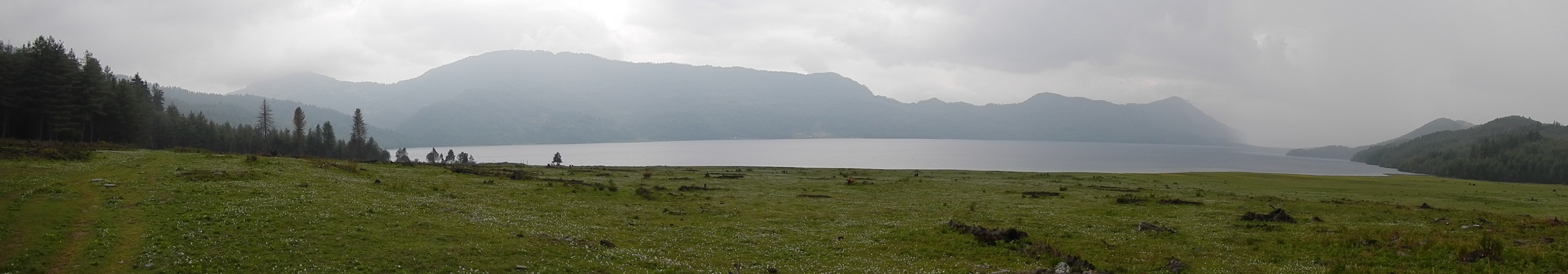
One of the most peaceful places I visited. It was just a shame that it was so cloudy, otherwise I would have been able to see the mountains.
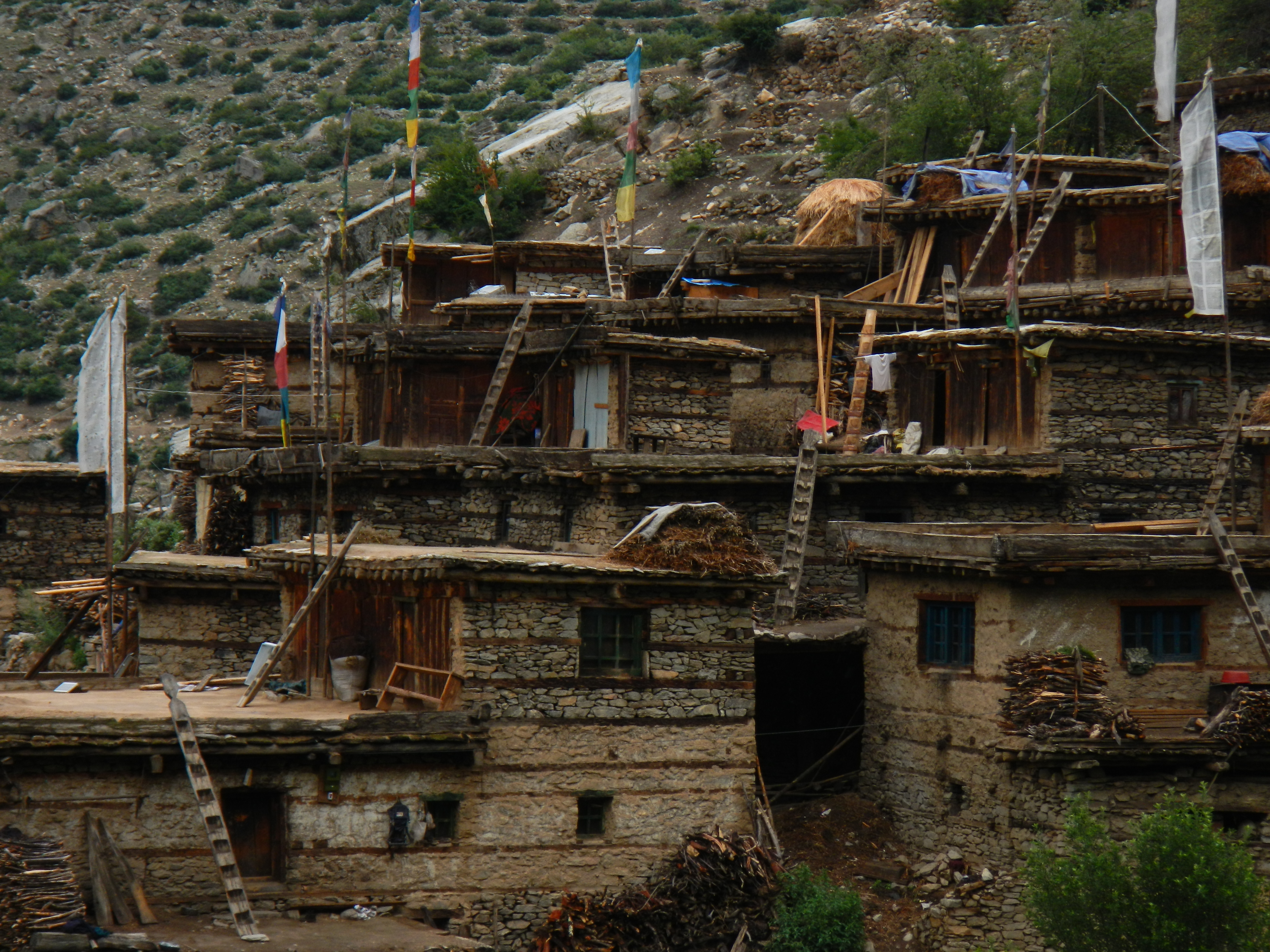
From Gamghadi it felt like I could see the finish line at Hilsa. Up to this point I had been walking for a total of 69 days but only 60 of these had been on GHT (ie from Kanchenjunga Base Camp) and I was adamant that I could be finished in five more days. If this was not an incentive to walk quickly, what was? The walk from Gamghadi to Darma was a long one, in hot conditions over yet more difficult terrain. The villages I went through were very different to what I had seen to date. They were very close together, almost terrace like in design, flat roofed with space on the ground floor for animals with lots of primitive timber ladders.
On the way I met two young men who were returning to their village, Darma. Unfortunately for me they were moving fast and light and getting drunker throughout the day. Although minor, when you are in the middle of nowhere and having direct conversations with two drunken men can become a little unnerving. Especially when they start asking for money or food. I knew that it would never turn violent (or at least hoped not) but being on your own really does change things. Staying calm and polite was always the winning combination.
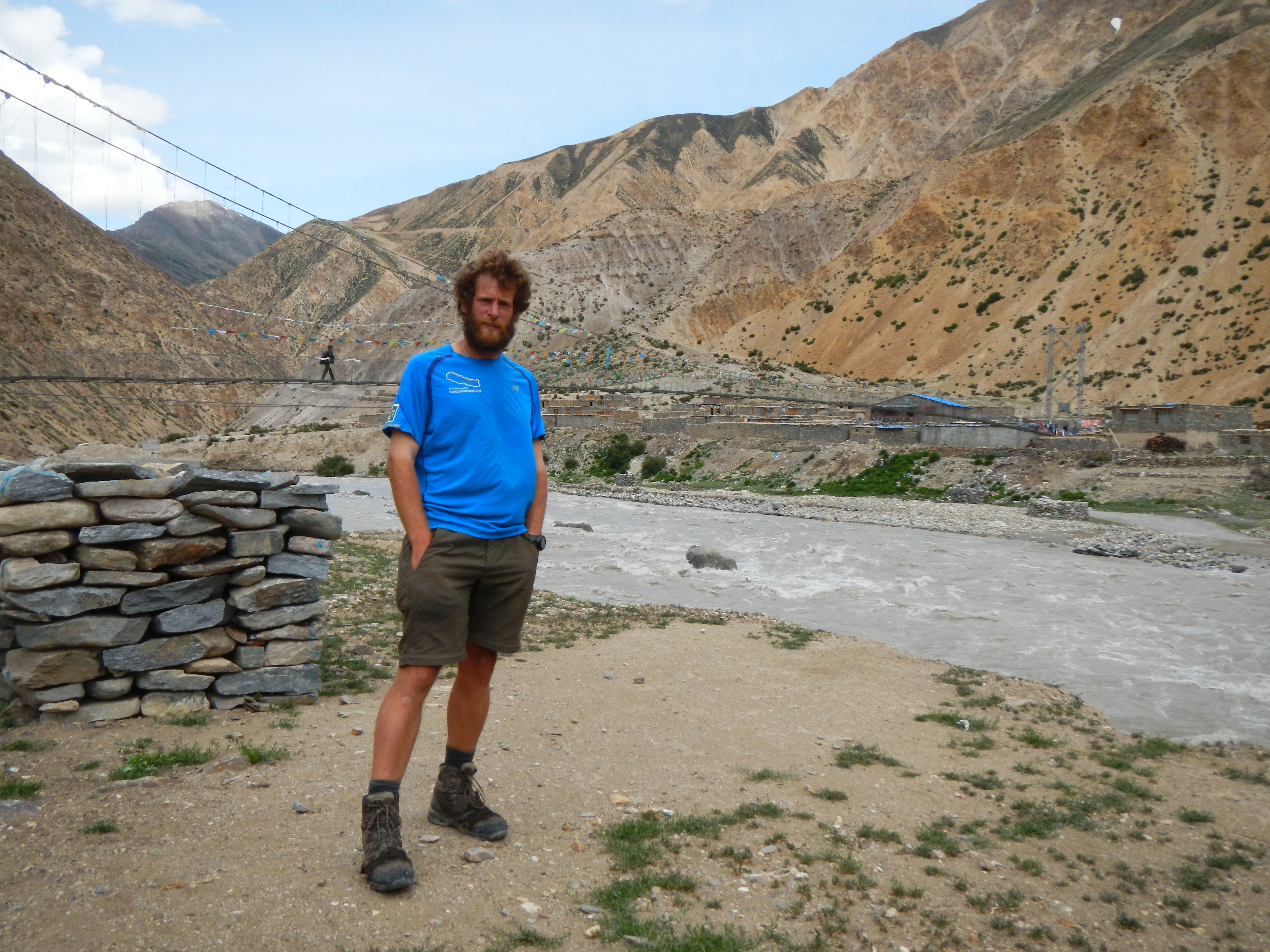
The warm people of Darma and for that matter Humla, certainly made up for the incident with the two drunks. It was a pleasure to walk through the district. As I said before, ‘Yin and Yang’. Simikot was a day and a half away. They were long warm days, but at least the route was reasonable until the steep climb into Simikot. Walking into the bazaar was a great feeling, it was now not only familiar terrain but I could also drop off the bulk of my kit in a guest house. I also felt very confident that I could make the 72km journey to the border in two days. The end was nigh.
I wasn’t wrong. Two days later I had crossed my final GHT pass just outside of Hilsa, Nara La (4560m). The wind was strong, clouds now building but five minutes later I could not only see the finish line, but also Tibet. As I had been in the same spot over two years before I had seen this view before and it was this image that I visualized daily and one which motivated me to get this far.
As I walked into Hilsa, my heart pounded, the hairs on my body started to stand on end and I could taste the adrenalin. As I passed the bewildered police at Friendship Bridge I made my way to the boarder, a simple chain link fence with an opening for access. It had taken me a total of 73 days and 1578km of walking from Taplejung. More importantly at that moment I become the first person to complete the GHT (14850km) solo from Kanchenjunga Base Camp to Hilsa, in a time of 64 days 2 hours and 35 minutes. Success! Jubilation, relief, pride and so many other words could be used to describe my feelings at the time. The only regret was that there was no one else there to share the emotions with me. For the first time I used my satellite phone and rang both my mum and my dad to tell them the good news. They were tearful but immensely happy for me.
A clear day as I trekked into Simikot. Sadly the weather didn’t last.
Emotions aside, the trek was not over. I still had to make the 72km journey back to Simikot in one piece and the weather was closing in. My original plan was get a lift with a helicopter but due to the poor weather I was back to what I knew best; walking. Although I was looking forward to getting a helicopter it is purely a mind game. Once you tell yourself you are walking back it quickly sinks in and you just get on with it. As great as it was to have finished the trek, it was also sad. I had finished the challenge I had set out to do. I did take a long look back down the valley towards the boarder to make sure I could remember that view for as long as possible.
Finally I can see Tibet. This was the final pass before arriving in the boarder town of Hilsa. It was pretty windy!
Traditional village houses in Humla.
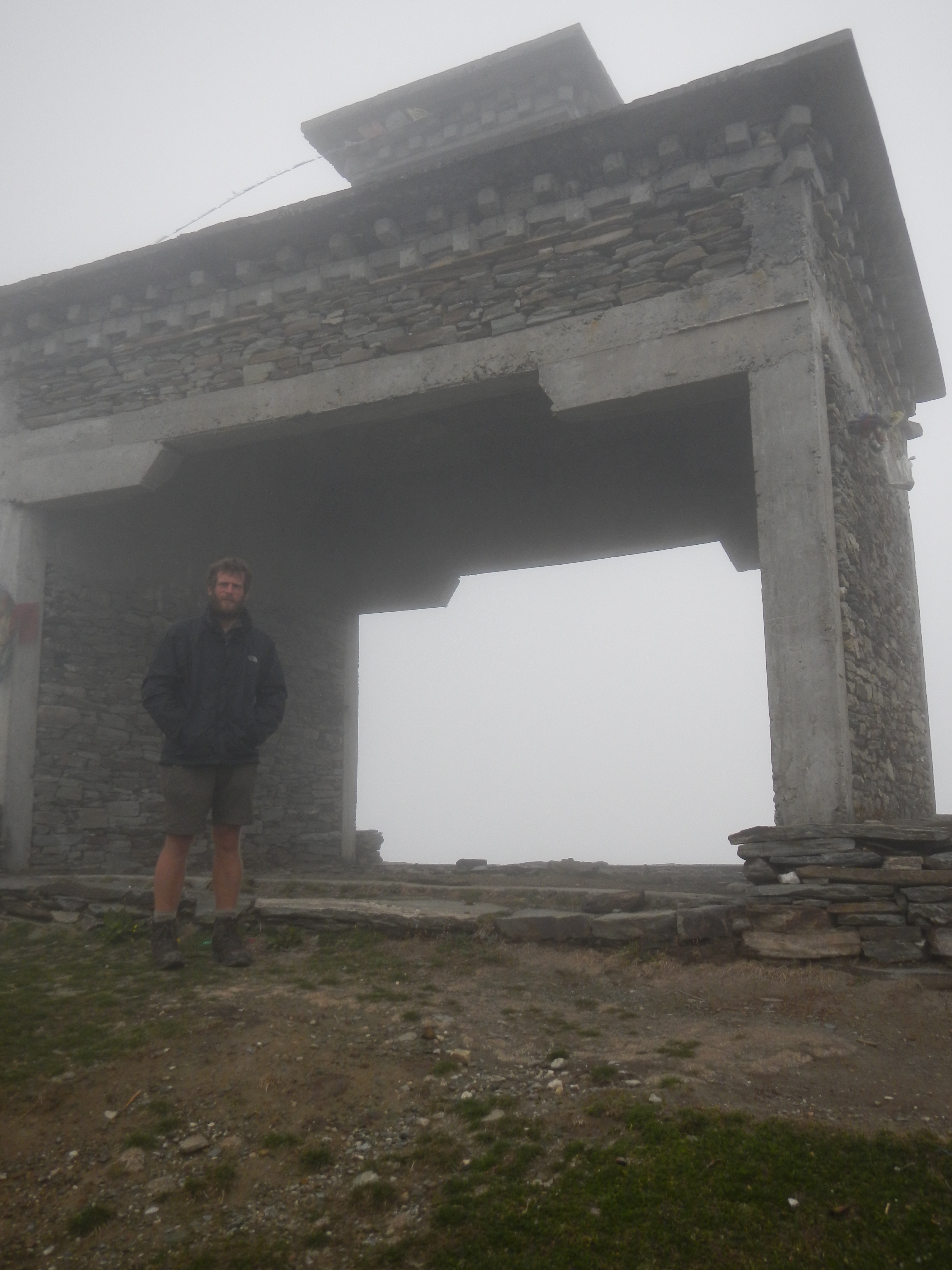
The official finishing point of the Great Himalaya Trail, the other side of Friendship Bridge. It had take me 64 days 2 hour and 35 minutes to walk the 1480km from Kanchenjunga Base Camp (although I had walked 1580km in 73 days in total including the time to get to the start point) . However, the walk wasn’t over, I had a 2 day 72km walk back to Simikot to get my flight out of the Himalayas.
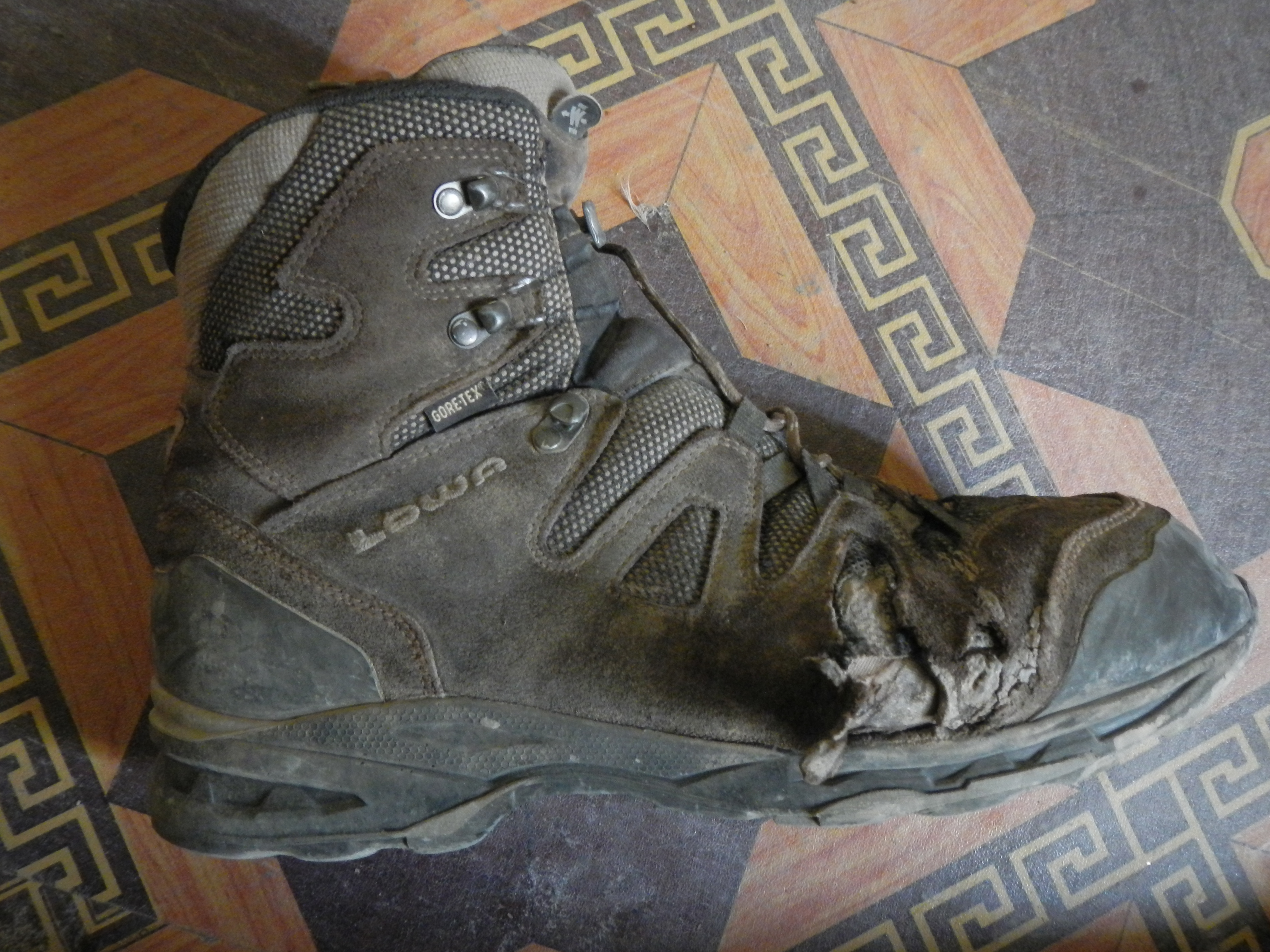
The boots had seen better days by the time I had finished.
On returning to Simikot over 16kg lighter in weight, I had the best reception that I could have wished for by members of the GHT Development Programme. Now I had actually finished it was time to celebrate with some new friends and pass on some of my new tales.
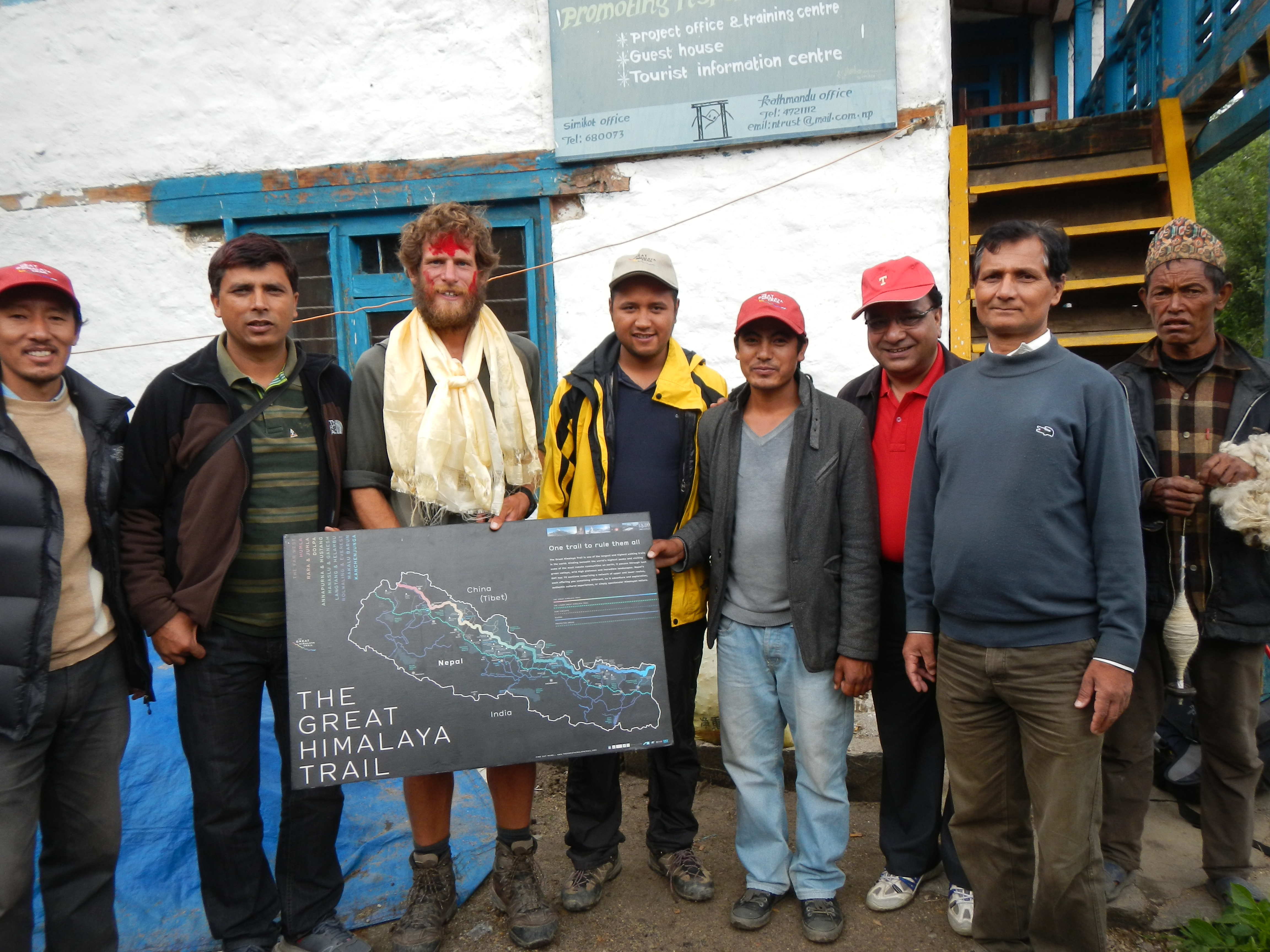
A warm welcome by the GHT Development Programme team in Simikot.
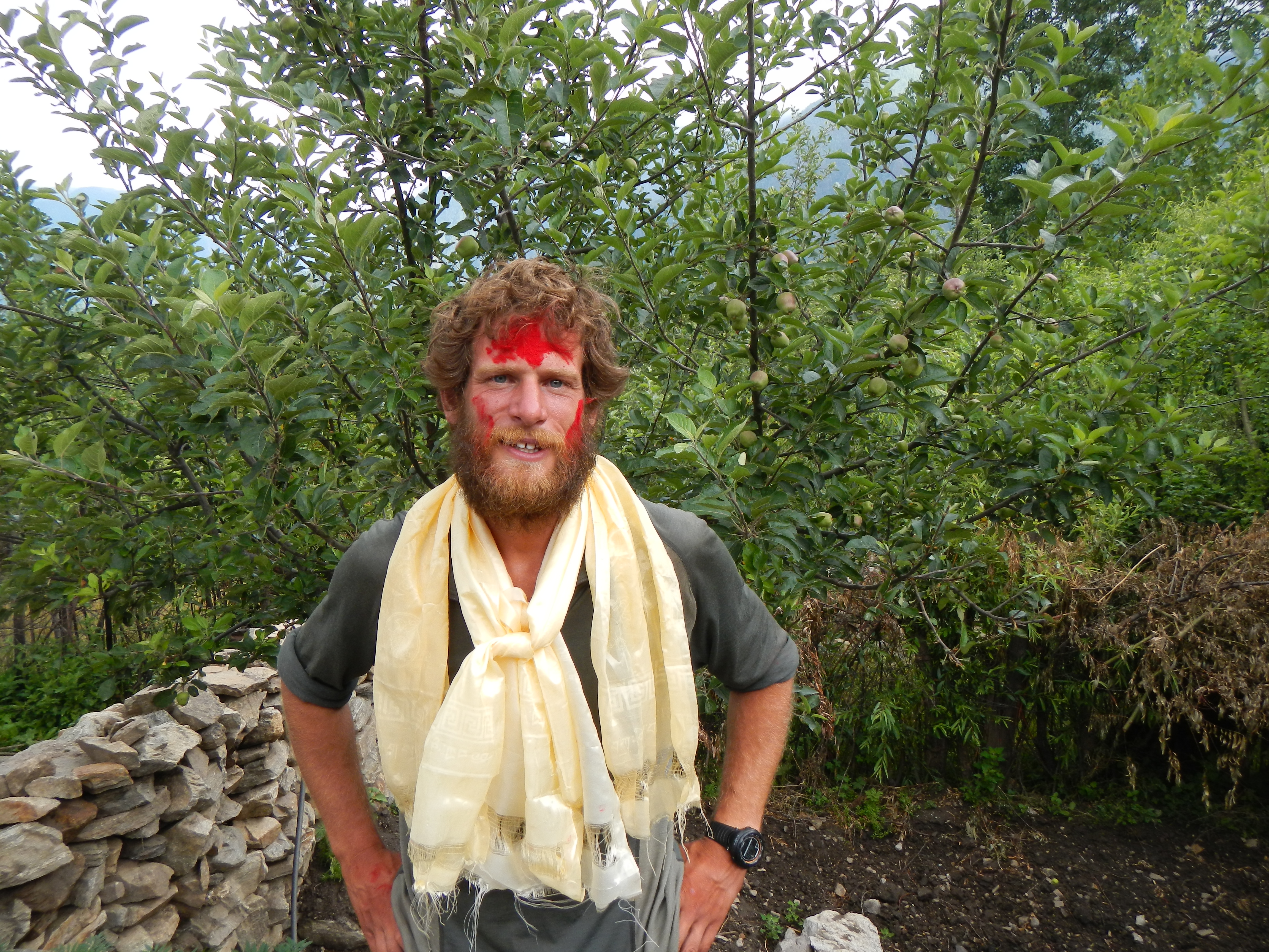
Relieved and happy to have finished. The red powder and scarves were given as part of the welcoming by the GHT Development Programme team as I arrived into the village of Simikot.
Two days later when I was suppose to fly out, the whole of Nepal, northern Pakistan and India were hit by a very large weather system that saw four4 days of torrential rains. I was going nowhere. This heavy downpour washed away bridges, caused numerous land slides, one of which was in Hilsa where I had just been. It destroyed 12 houses and killed five people. There was also a helicopter crash nearby killing four and seriously injuring one. Considering what I had done, where I had been and the weather systems I had been exposed to, this was a real eye opener. I got away lightly. You and should never should you forget how dangerous the Himalayas are, as soon as you do it will be too late.
Expedition ‘East 2 West Nepal’ was a great success and could only have been made possible through the help of BGN, BGP, GWS, Maj (Ret’d) Judbahadur Gurung and Khil Thapa from Gurkha Adventures. For their contributions I am extremely grateful. Since completing the GHT I have raised nearly £9000 for both GWT and SSAFA. I have also helped to increase the awareness of the trail and have helped four international groups plan their own GHT adventures. The best advice for anyone wanting to do their own adventure, is so long as you do your homework just go for it and make it a success. Otherwise you may just miss the opportunity of a lifetime.
‘Jai QGE’
http://uk.virginmoneygiving.com/east2westnepal
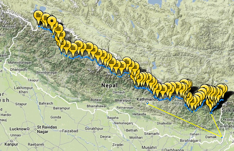
This is a screen shot from my Yellowbrick Tracking system website. It shows the exact route I took across Nepal using both the Upper and Lower GHT. Most of the routes used were however, in the upper sections.

Hi,
Awesome adventure! I’d like to ask some questions, because I’m heading out for Nepal in 10 days for large segments of the trail from ganeh himal to jumla.
You write about difficulties regarding visa and permits – but nothing specific. Can you tell me more? We’ll be a party of two – I gues this makes things easier for the group trek issue…
What is your experience on self supplied trekking. Is it true that you really could go without supplies in the Anapurna trek region? Did you bring snowshoes or crampons and ice axe for high remote regions – I’ve seen that you ran into some snow conditions…
Thanks for your answers in advance.
Marcus
A brave and very fast trek. Did anybody ask for a trekking permit after all your bother?
Thanks. It was a great trek and definitely worth doing. I was asked for permits a lot of times along the way. Even they I had special paperwork often it was still difficult to get them to believe and understand it, as they hadn’t seen anything like this before. After lots of smiles and talking we got there in the end.
Doc, what an adventure! An awesome read. Thank you for sending me the link to your article; and well done again! Krishna