Route Details
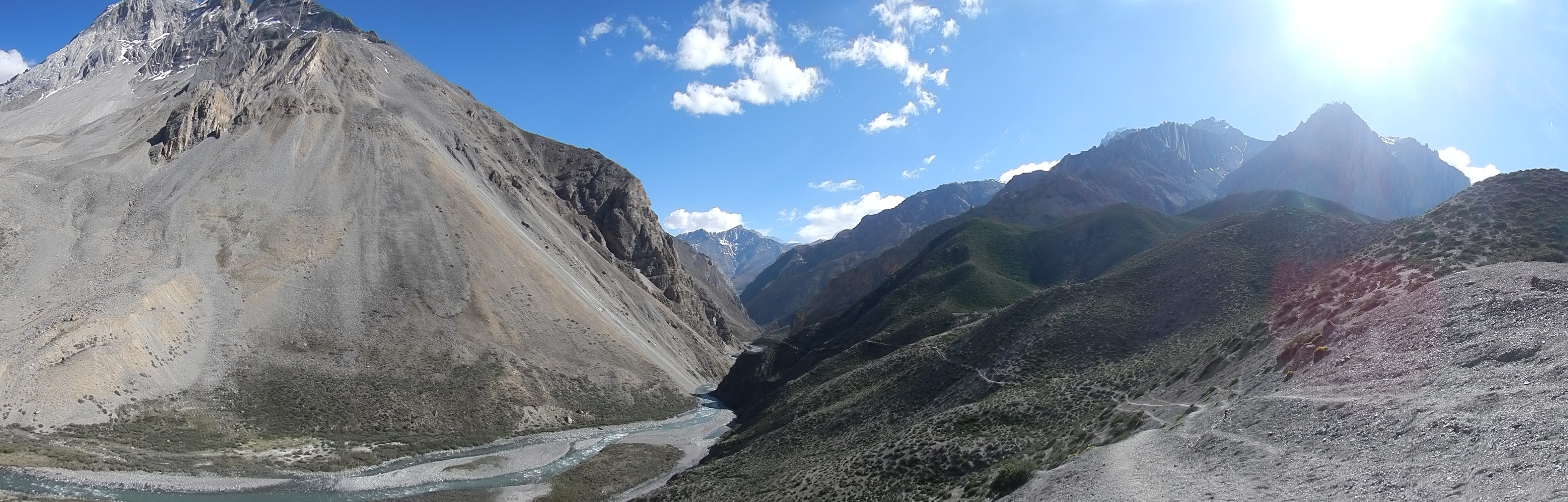
The route taken to head to Dho Tarap from Charka Bhot
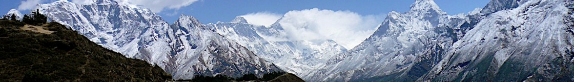
I started my journey from Phungling Bazaar, Taplejung on 1 Apr 13 and arrived at the start point, Kanchenjunga Base Camp on 9 Apr 14. This part of the expedition was a great way to slowly get my body into shape and also more importantly, acclimatise myself for the extremes in altitude I was going to experience throughout the 65 days on the GHT.
Where possible I always stayed on the Upper GHT, however, there were times were this was just not possible due to impracticalities and safety aspects of doing the trek on my own. When this was the case I dropped down onto the Lower GHT. I main areas where I did this were in Makalu, Langtang and Upper Dolpa (due to bad weather) regions. The only time I got support was for the day I crossed the Tashi Labsta Pass (5760m), the pass that separates the Everest and Rolwaling Districts, because I was very keen to do this part of the route but I deemed it too dangerous to do on my own.
Including getting on and off the GHT I walked for 75 days, covering a distance of 1650km. But the time and distance spent walking on the GHT from Kanchenjunga Base Camp to Hilsa in Humla was only 65 days (actual time was walking was 64 days, 2 hour and 35 minutes), 1480km.
The biggest problem I had when planning this expedition was not just trying to predict what I could get from each village as I passed, or were I could potentially stay each night, but it was trying to arrange my permits and visa for the whole trek. This is not easy, and virtually impossible for solo trekkers. The GHT Development Programme is acutely aware of the issues and are trying to get a permit for the whole trail and not just each National Park. I was very fortunate due to my previous connections to Nepal, if it was not for my link to the charities the Gurkha Welfare Scheme (GWS) and the Kadoorie Agricultural Aid Association (KAAA) it is highly unlikely I would have been able to get a permit to travel through all of the National Parks on my own, even for Dolpa, Jumla, Kanchenjunga, Humla and Manaslu where you need to have either a guide or be in a group, or both.
My link into the British Embassy also allowed me to get an extension to my visa before I left Kathmandu. Although you are entitled to a 150 day visa as a tourist (this may vary for other nationalities), the immigration office will not give you this until your arrival visa has nearly expired, therefore you would either have to come back in from your trek or try and get someone else to do it on your behalf. The best advice is to speak to the Nepali Embassy in your country and potentially even your own Embassy in Nepal well in advance of your trek.
Map of the route – Click here
Daily details of the route click – Doc McKerr – GHT Itinerary Apr-Jun 2013
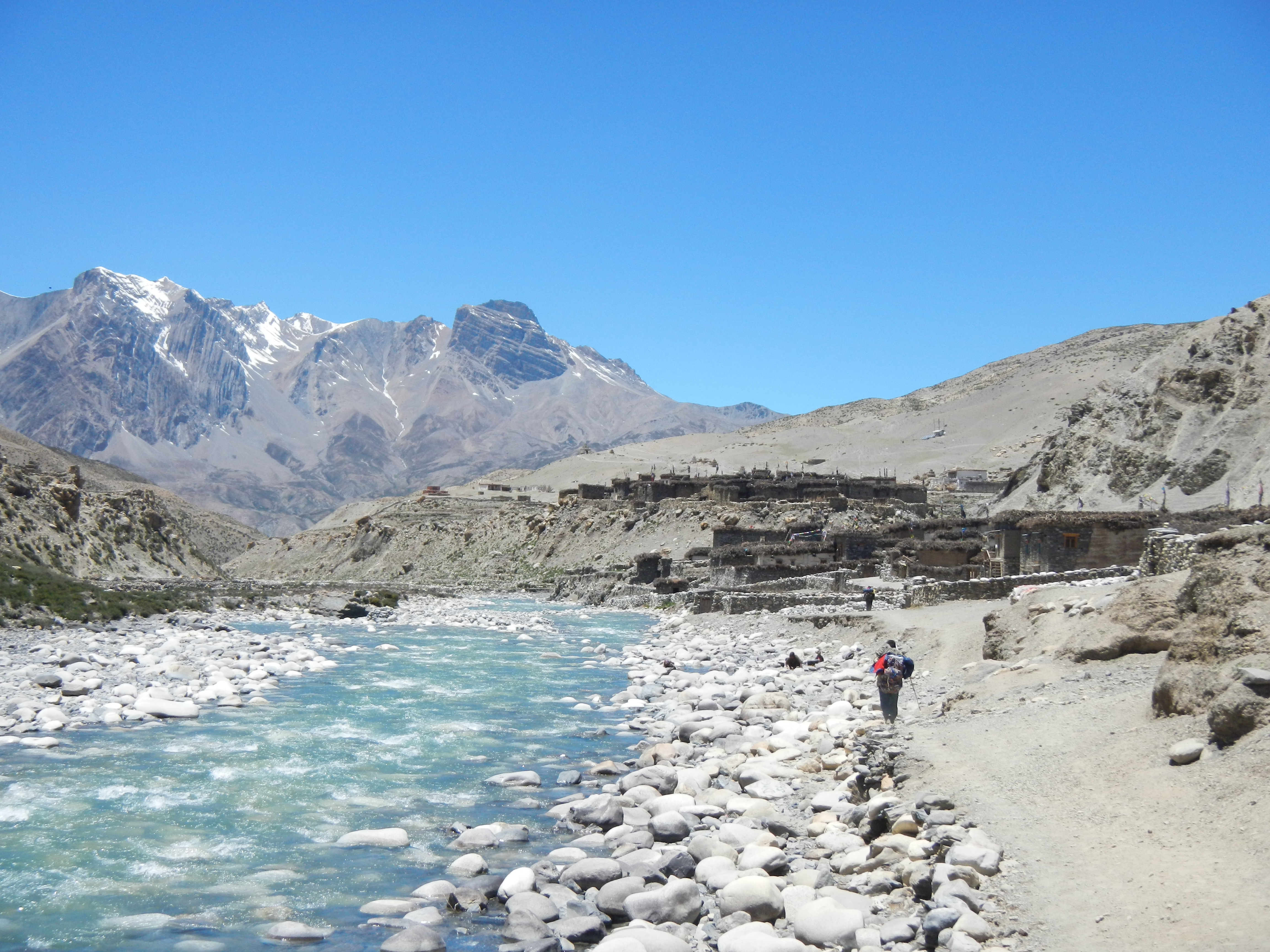
The village of Charka Bhot.
